Bonita circular partiendo del Pontaut en la Val d'Aran para subir hasta Caneján llegar a Porcingles y después de recorrer un trecho subir hasta ya sin sendero y por zona boscosa hasta el collado dera Potèrla para continuar hacia la montaña Era Pica (2.304 m.) localizar la muga 417 , la 416 y la 415 hollando también el Cap dera Potèrla (1.782 m.), Cap de Canarilhes (1.764 m.) y el tuc de Pan (1.723 m.) finalizando con un largo, larguísimo descenso...
La elaboración de esta página sigue en construcción.
La elaboración de esta página sigue en construcción.
OBSERVACIONES Y CURIOSIDADES :
Se puede obtener agua en algunas fuentes que hay durante el itinerario.Durante la mayor parte del trayecto no hay cobertura Movistar.
Fotografía: Instantáneas capturadas con una cámara digital.
DATOS TÉCNICOS: REFERENCIA: Mapa excursionista: Alpina Escala 1:25.000
Actividad: Alpinismo cerca de Baqueira, Catalunya (España)
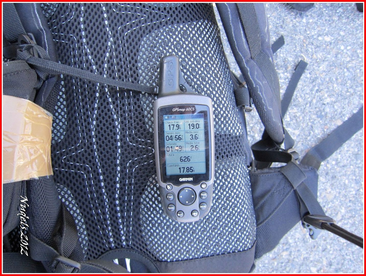
Distancia recorrida: 18,01 kilómetros
Altitud min: 578 metros, max: 2.039 metros
Desnivel acum. subiendo: 1.495 metros, bajando: 1.495 metros
Grado de dificultad: Fácil
Tiempo: 6 horas 47 minutos
Fecha: 15 de septiembre de 2012
Finaliza en el punto de partida (circular): Sí
El track
© nudels Tots els drets reservats
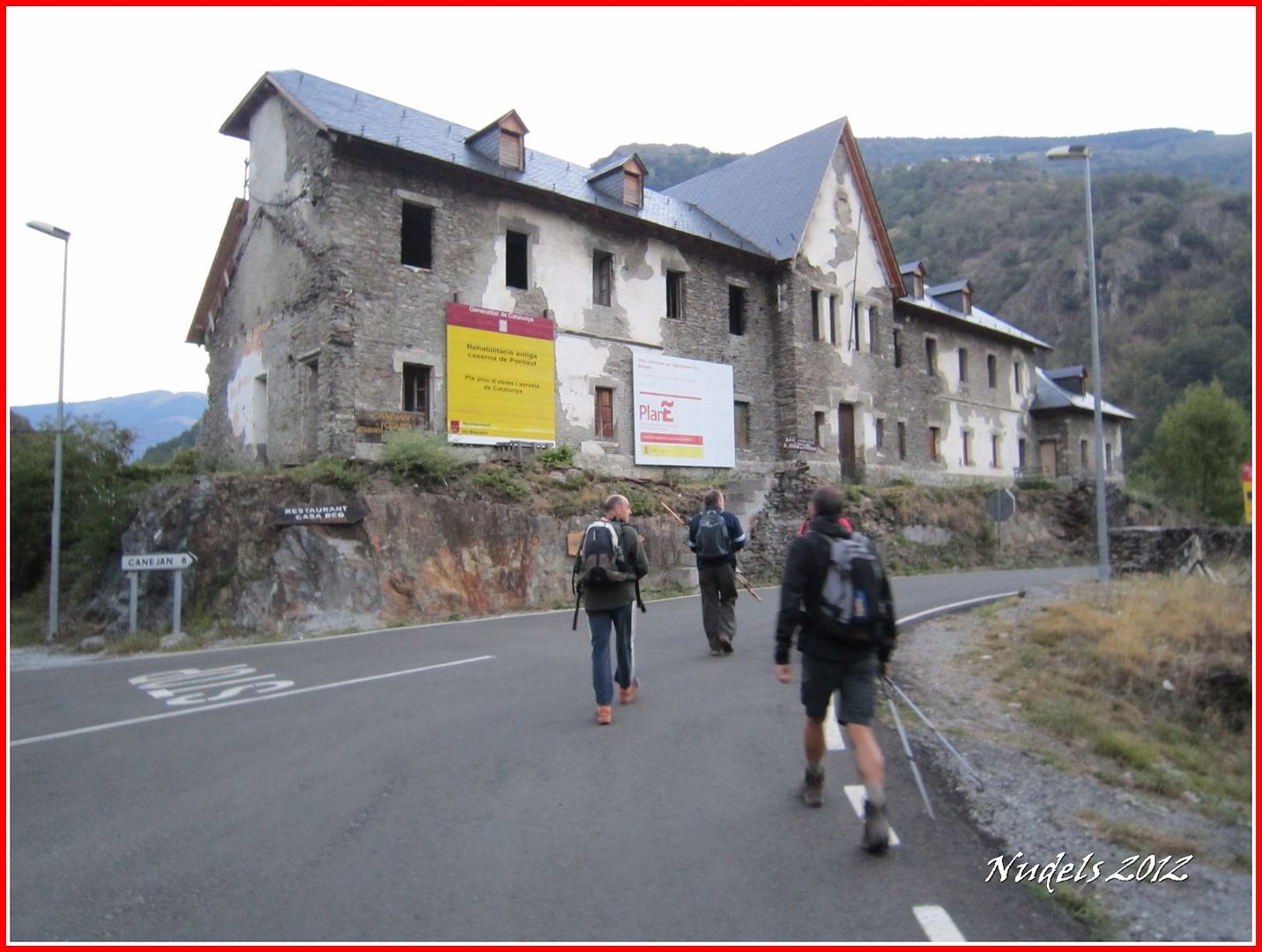
07h25: Nos preparamos para otra pacífica jornada hoy configuran el reportaje un póker de soñadores, saldremos del Pontaut en el pequeño parking que hay al lado de la carretera N-230.

07h36: Vamos hacia en Norte y pronto nos desviamos hacia el Este para tomar la carretera local de Canejan.
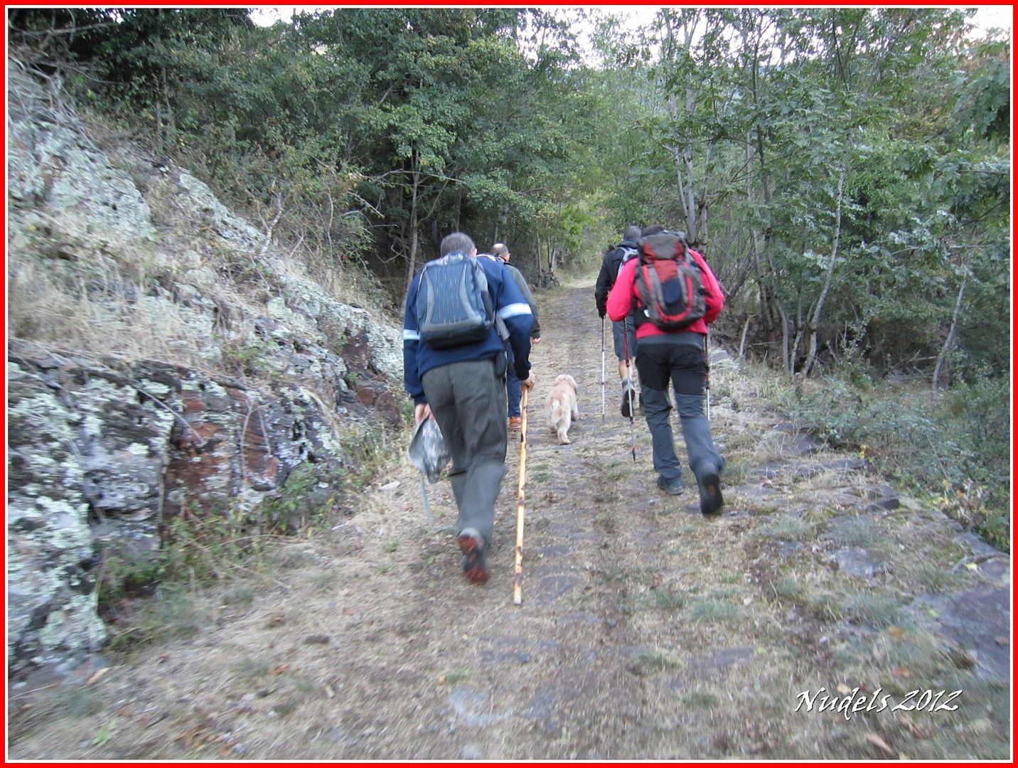
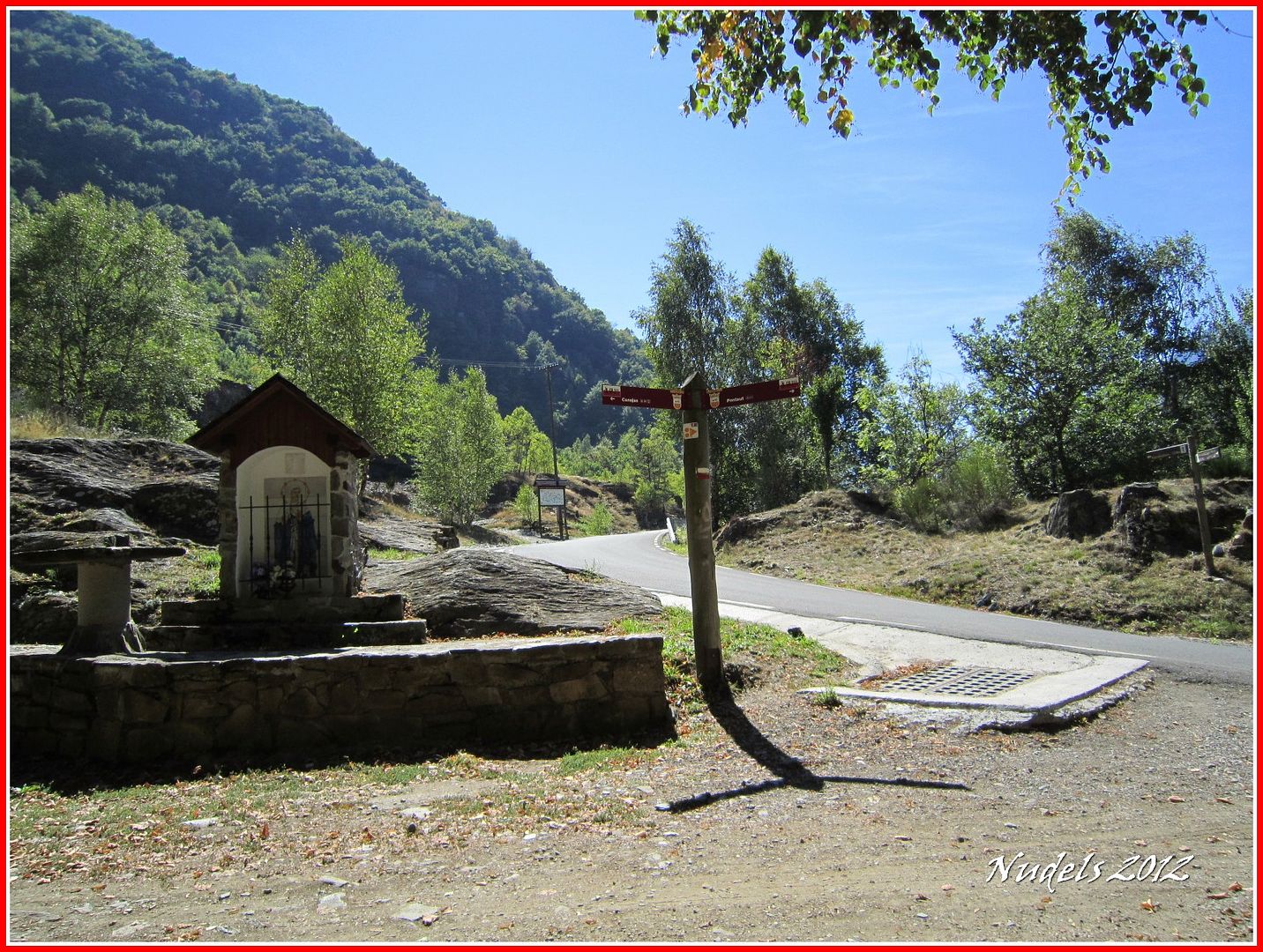
07h40: Dejamos la carretera y tomamos el GR-211 para avanzar hacia Canejan.

07h54: Nos espera una plácida subida por un buen camino.
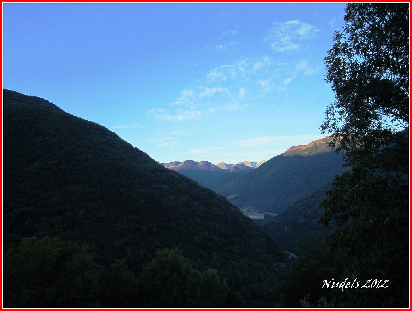
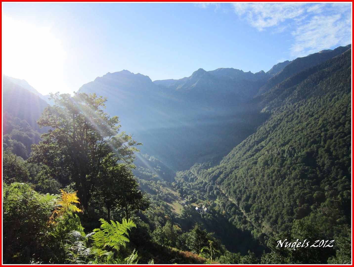
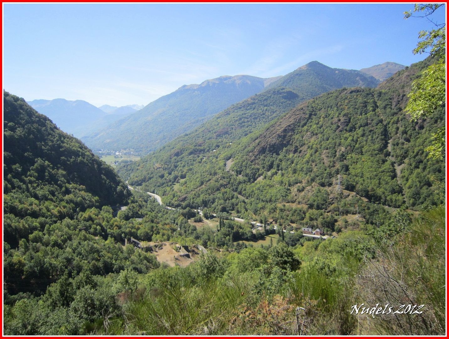
08h03: Hacia el Sur, a nuestra espalda, tenemos una bonita instanténea.
08h03: Ya casi lo tenemos.
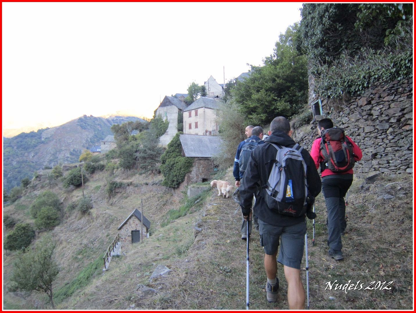
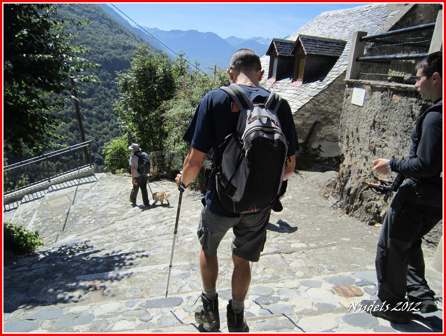
08h04: Hacemos nuestra entrada por estas escaleras, estos tipos me van dejando atrás.
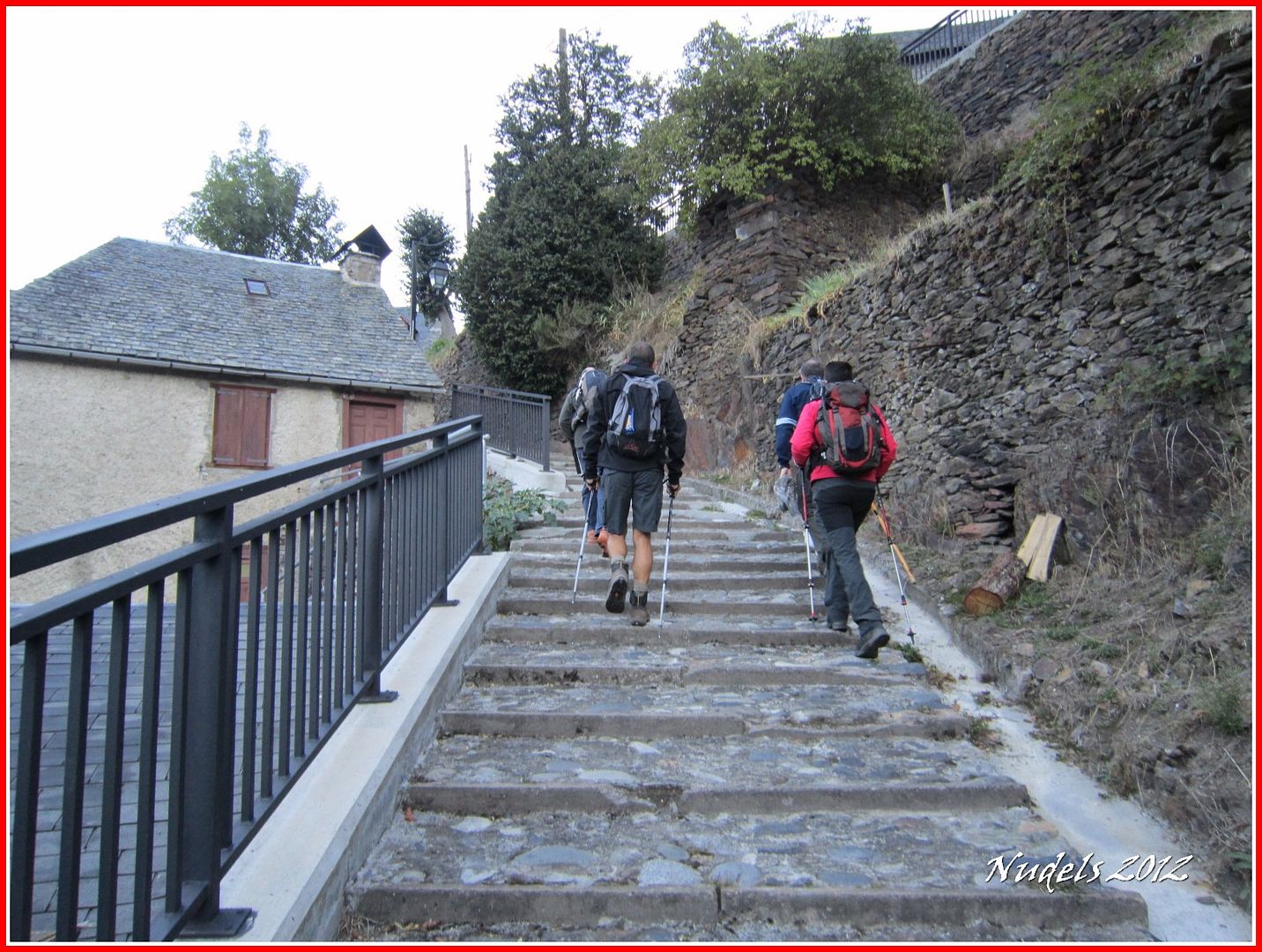
08h06: Así está mejor, seguimos atravesando el pueblo de Caneján.

08h16: Salimos del pueblo y seguimos de nuevo el GR ahora coindente también con marcas de PR.
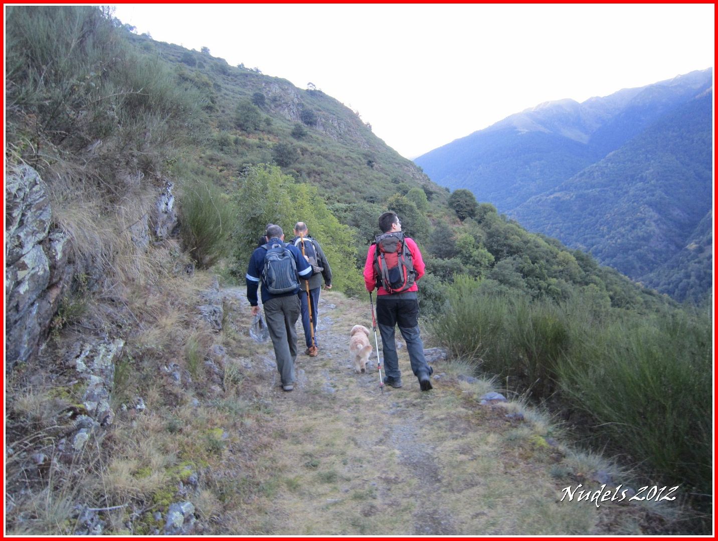
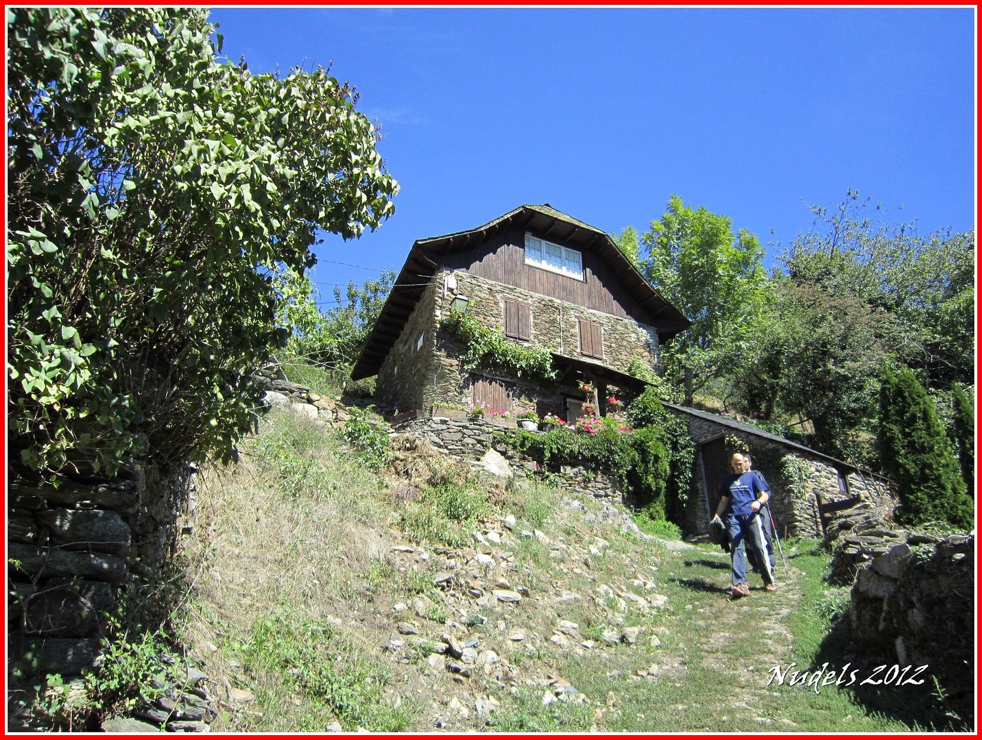
08h44: Unos plácidos kilómetros casi llaneando y llegamos a Bordius.
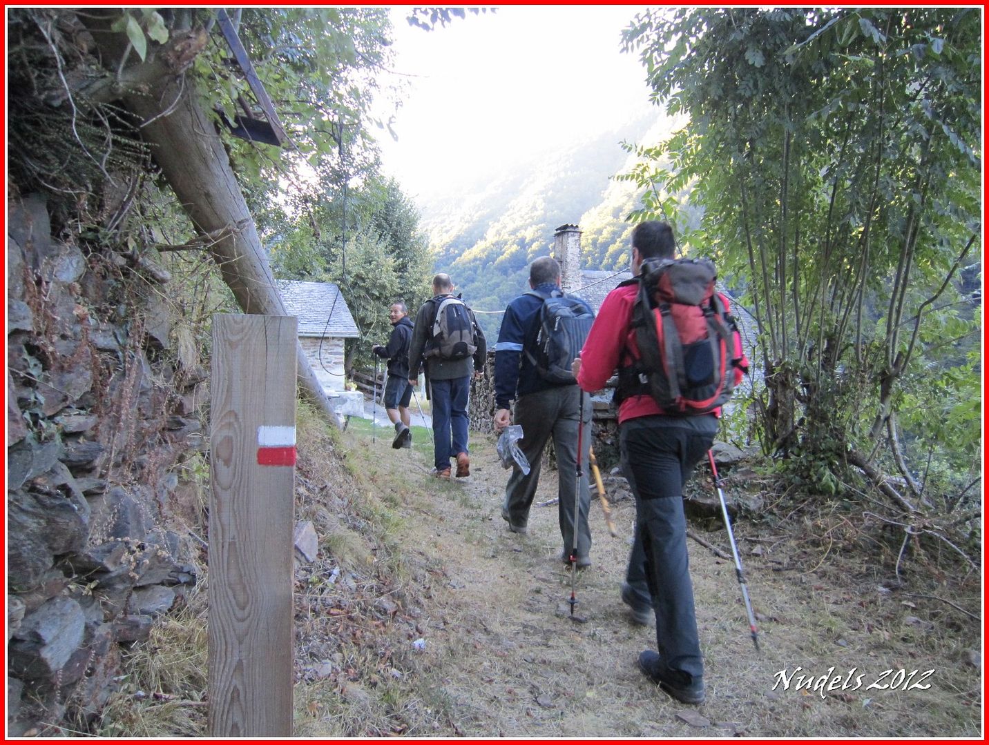
09h07: Dejamos este núcleo de casas y seguimos ahora por el sendero marcado y limpio.
09h18: La Val de Toran.
09h23: Nosotros a lo nuestro.
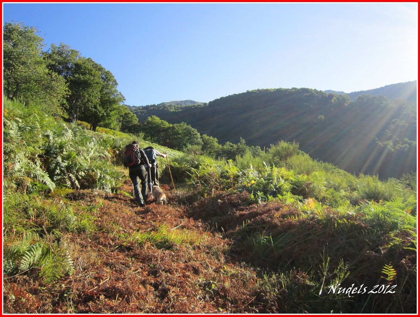
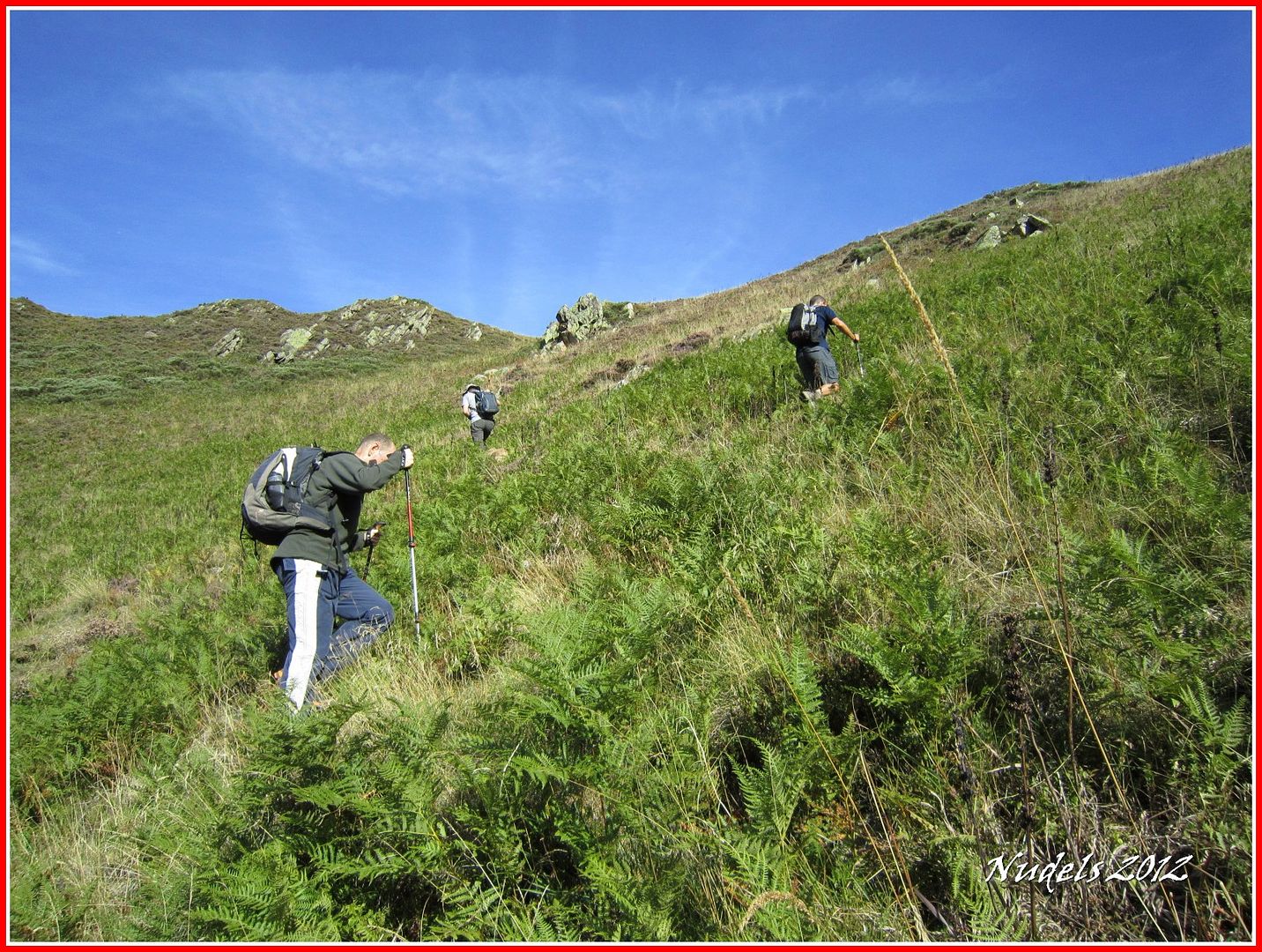
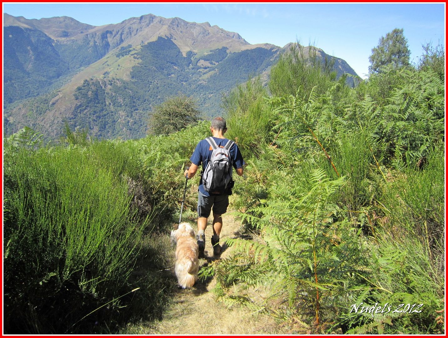
09h36: Esto empieza a picar para arriba.
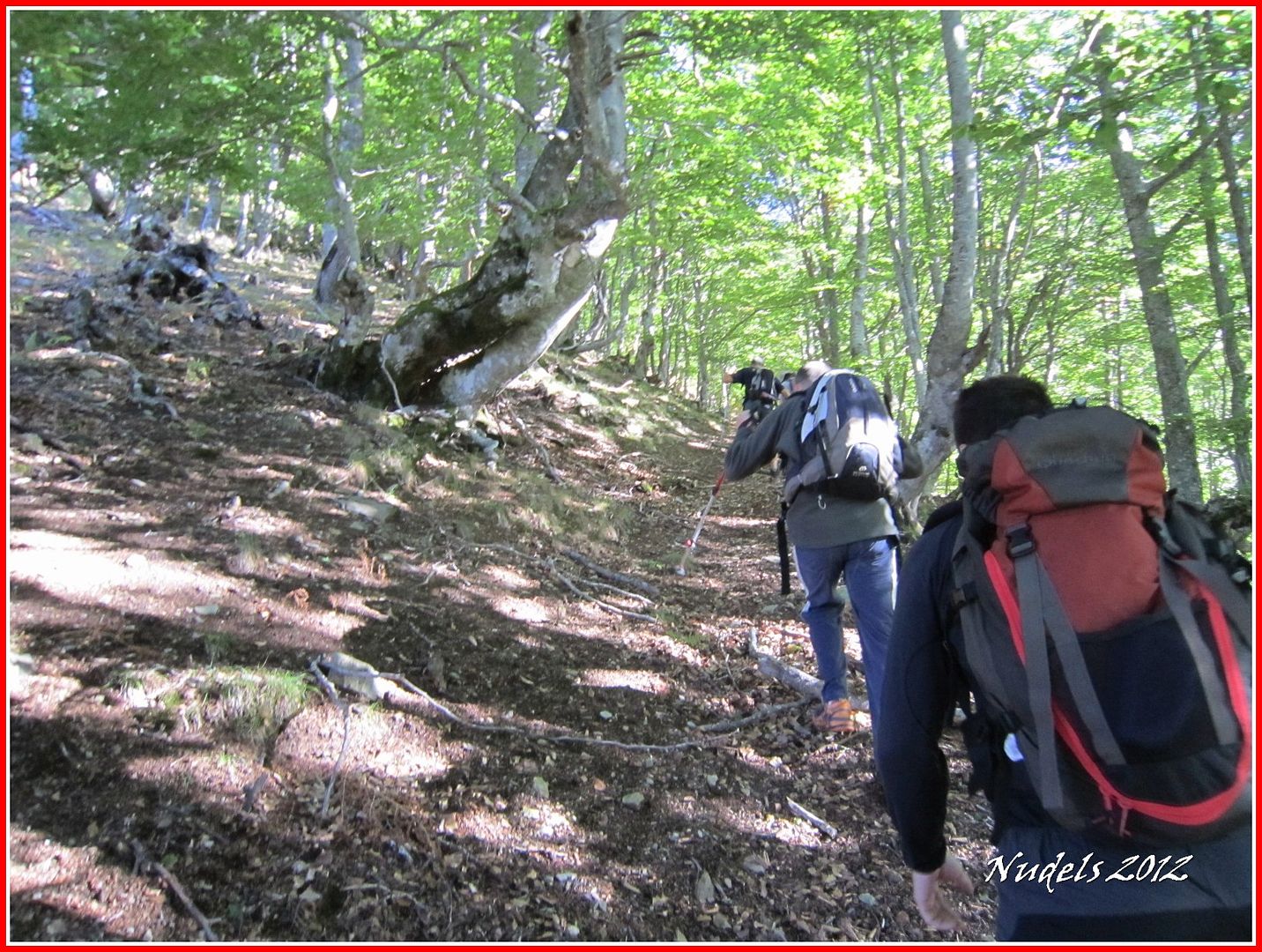
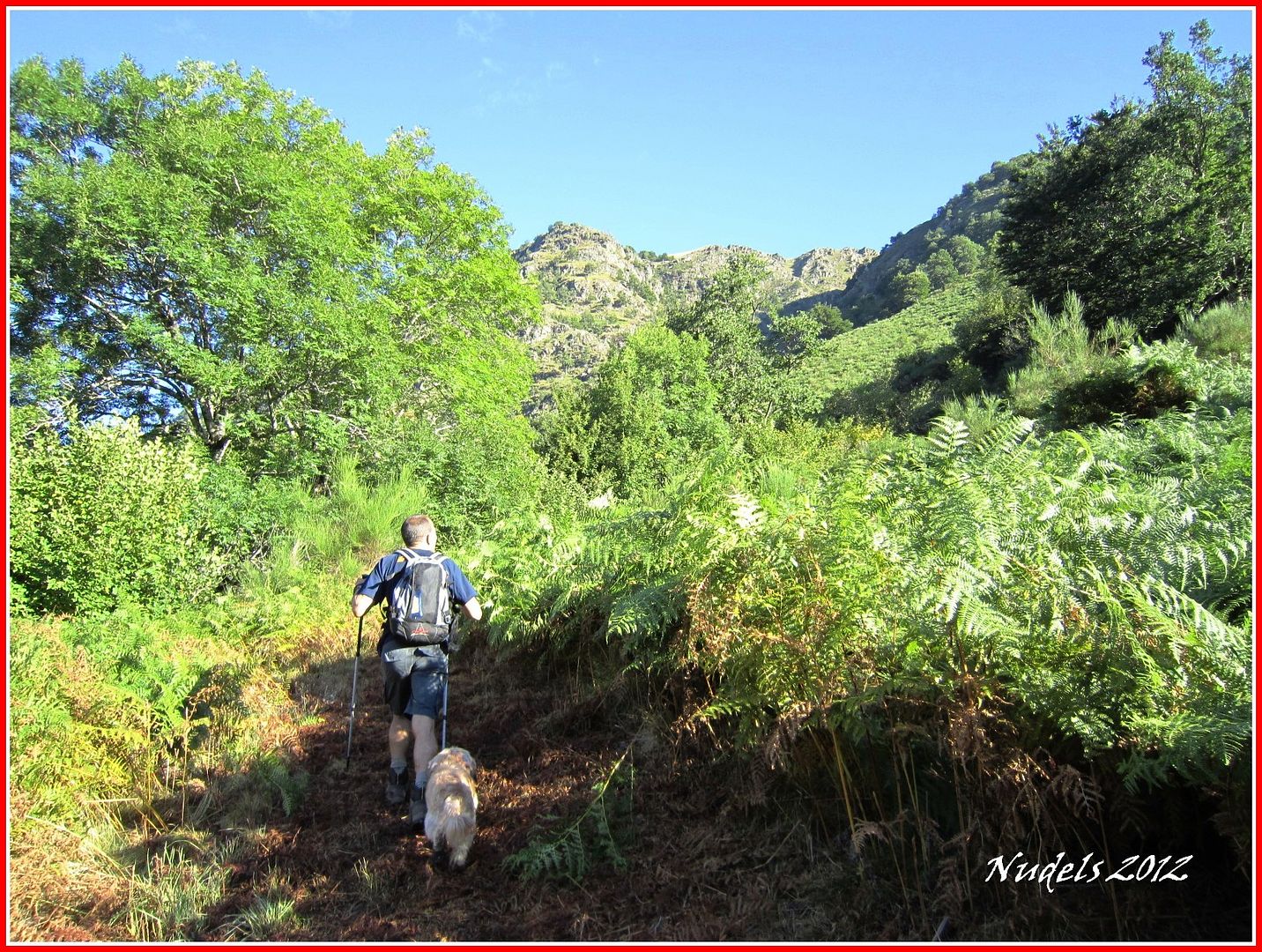
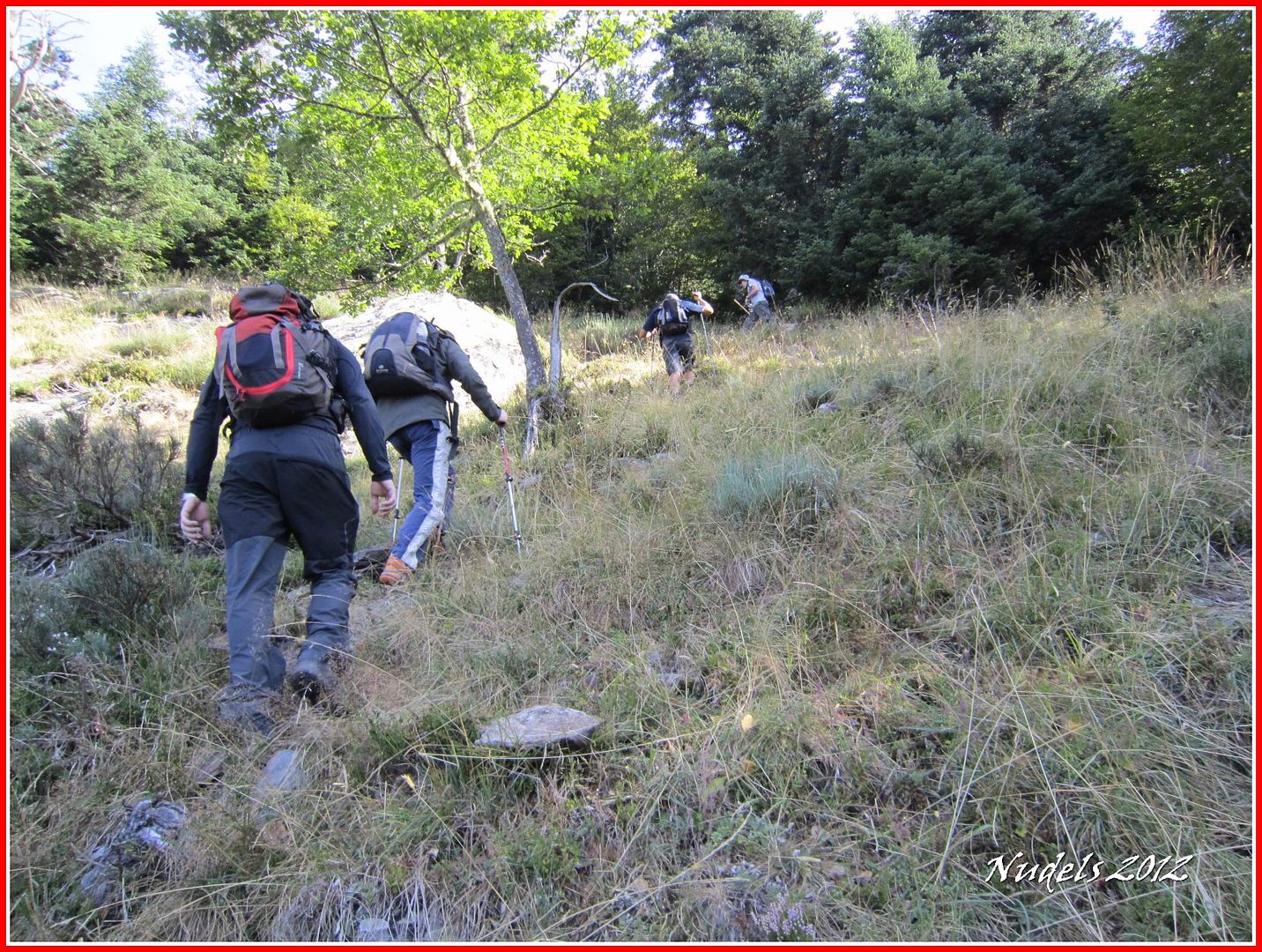
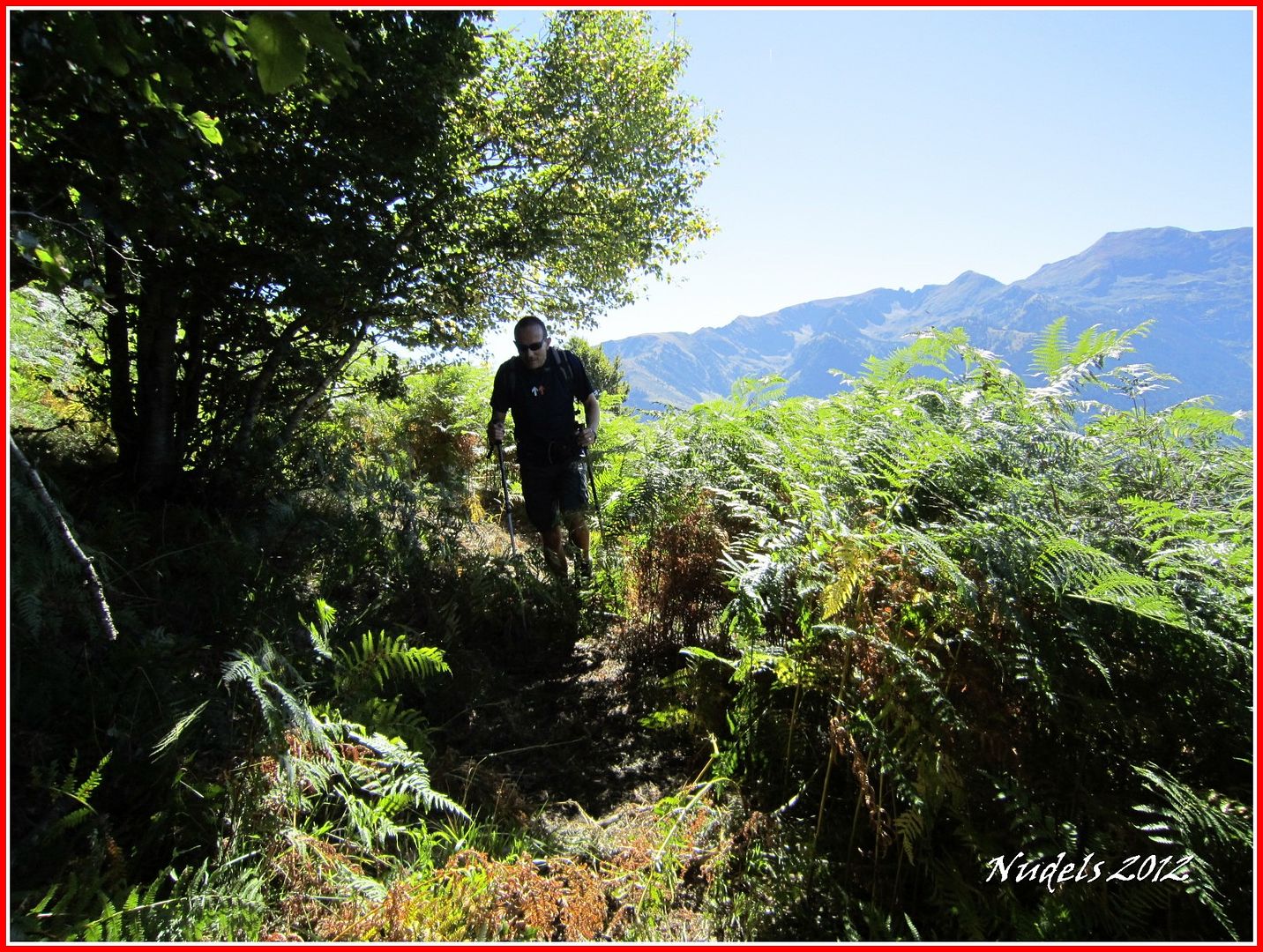
09h46: Fuera ya de sendero nos aventuramos por el bosque, siempre subiendo a veces con más comodidad y otras veces con menos.
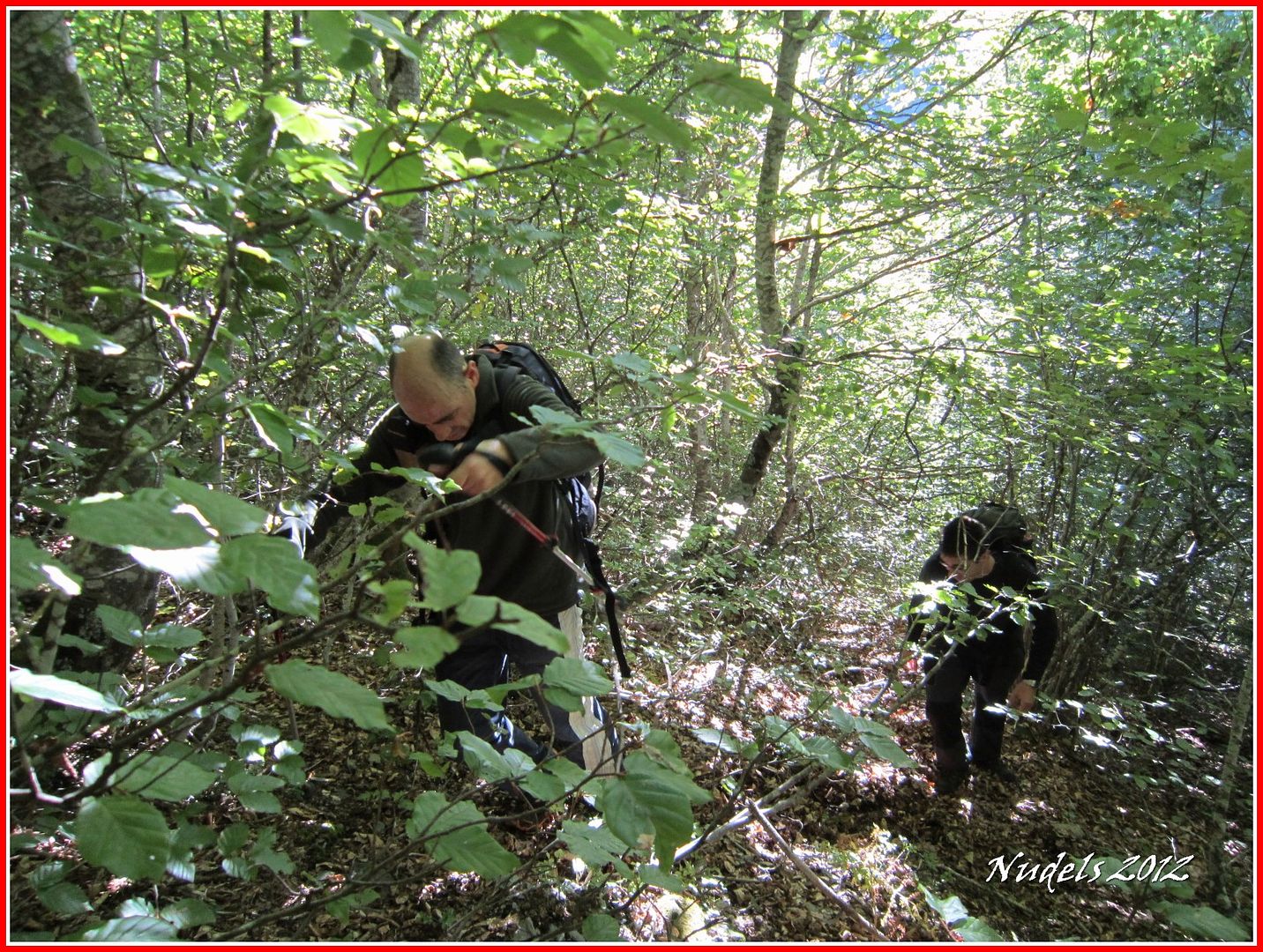
10h15: Salimos y entramos del bosque, siempre para arriba este tramo se está haciendo durillo.
10h16: Las vistas nos parecen espectaculares.
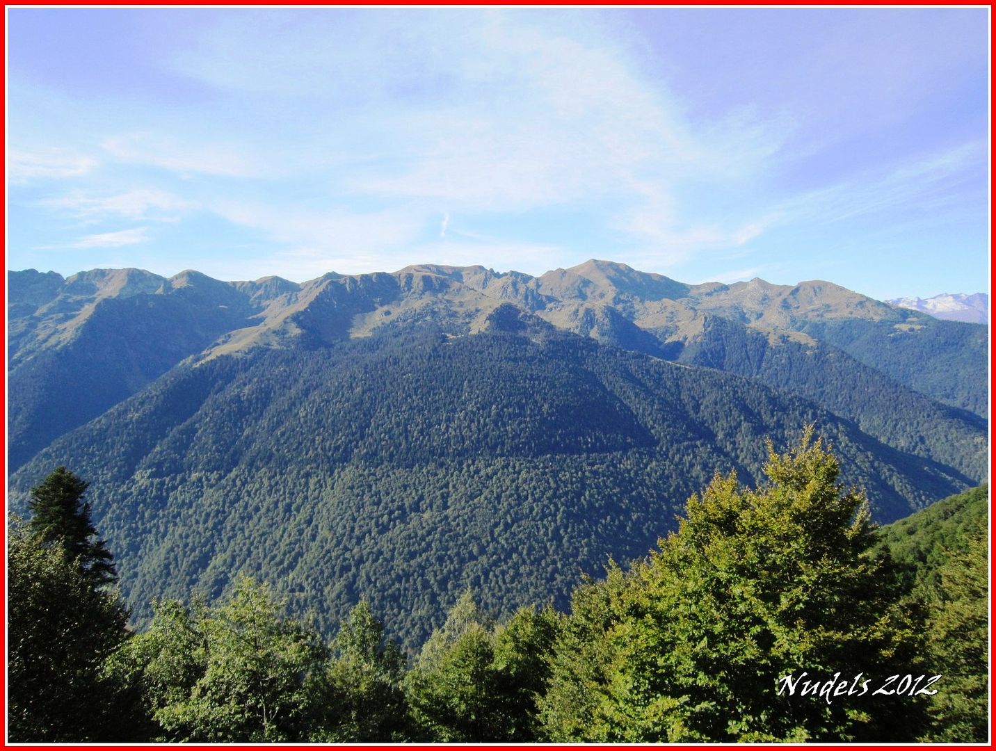
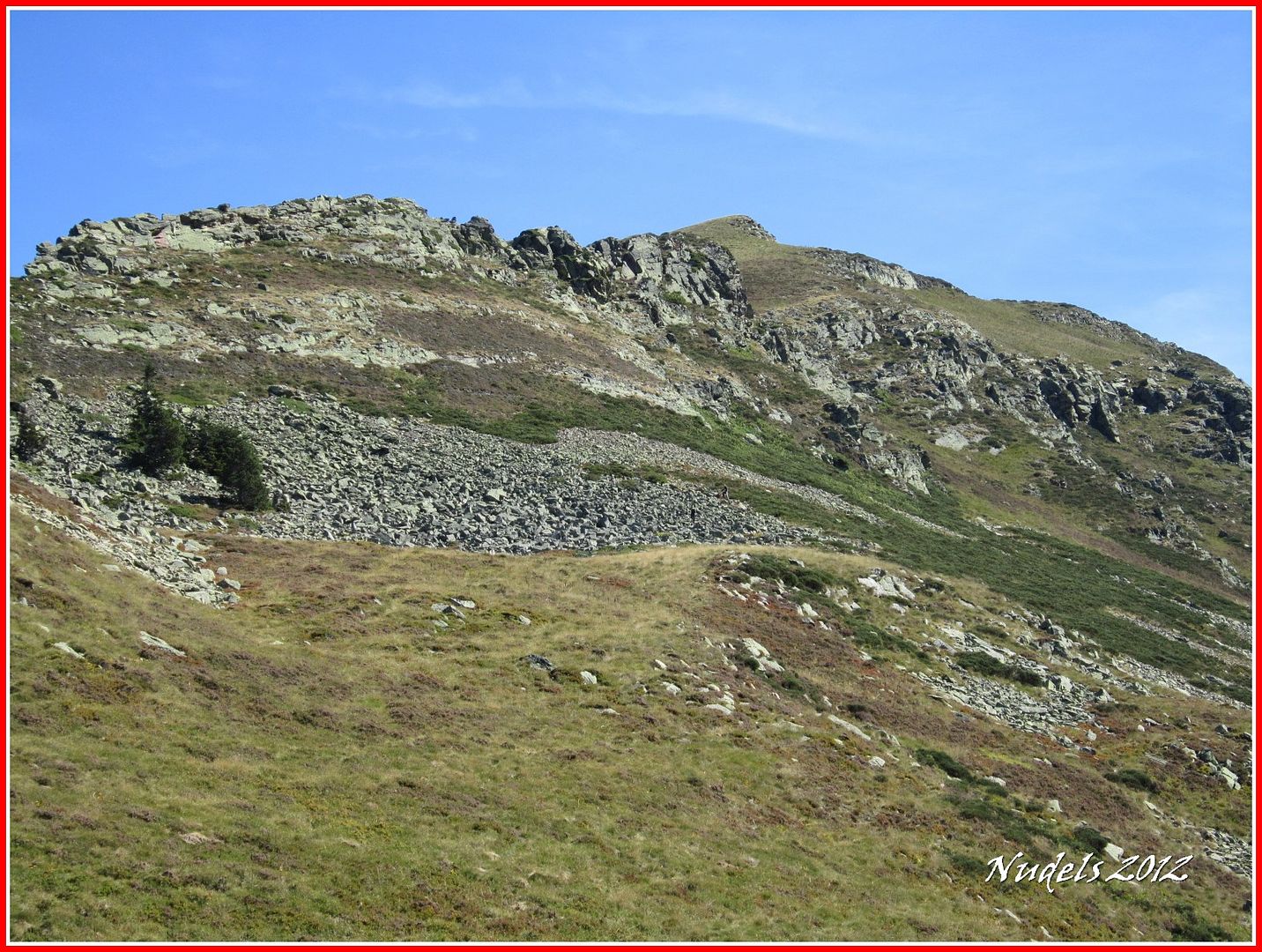
10h25: Definitivamente salimos del bosque y vamos en busca del collado.
10h34: Cerca del collado el Pas dera Potèrla.
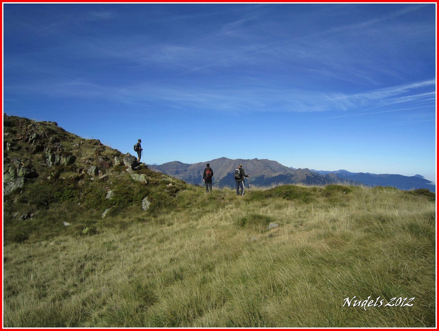
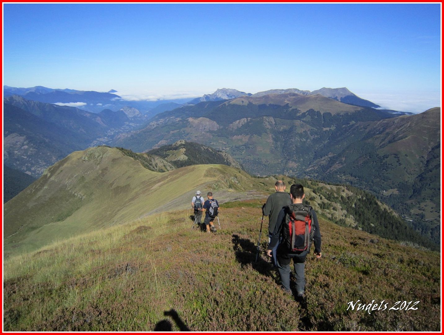
10h50: Comentamos la jugada y acto seguido nos dirigimos hacia Era Pica, vamos a nuestra suerte unos por un lado...
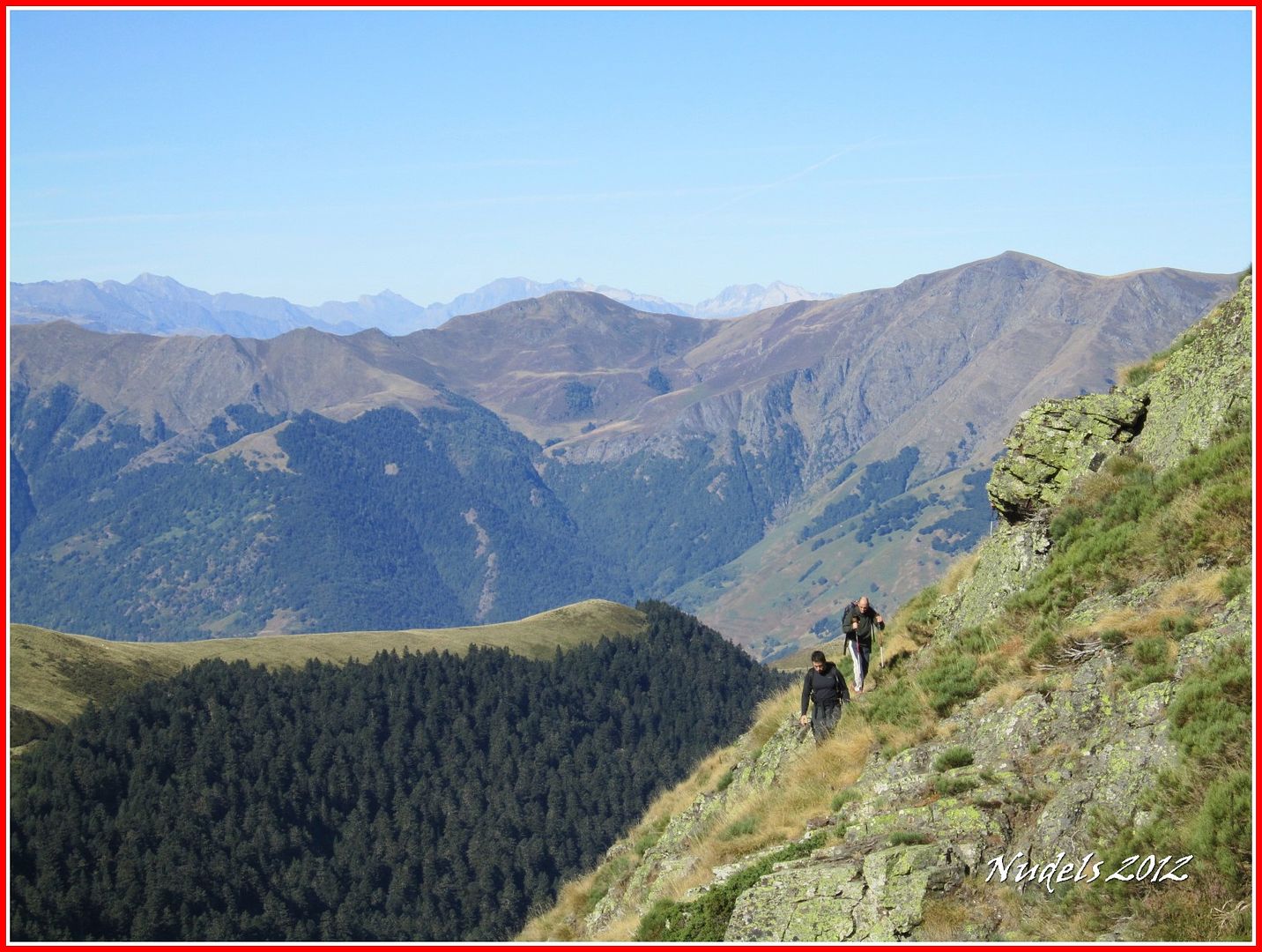
10h50: ...y otros por la cresta.
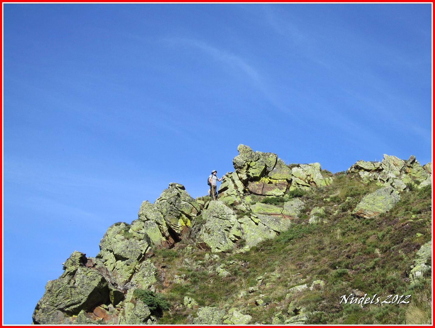
10h57: Bonito itinerario.
10h58:
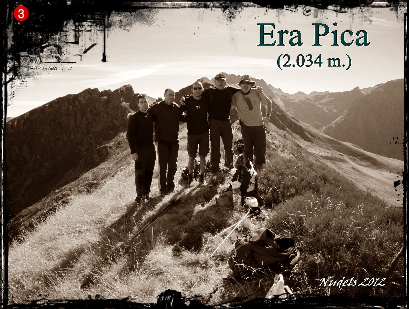
11h22: Y así llegamos a los más alto de Era Pica (2.034 m).
11h35: Buscamos la muga 417 y tomamos fotografías.
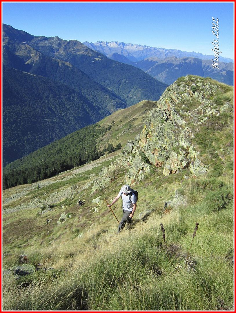
11h38: Nos vamos para abajo.
11h57: Una mirada atrás.
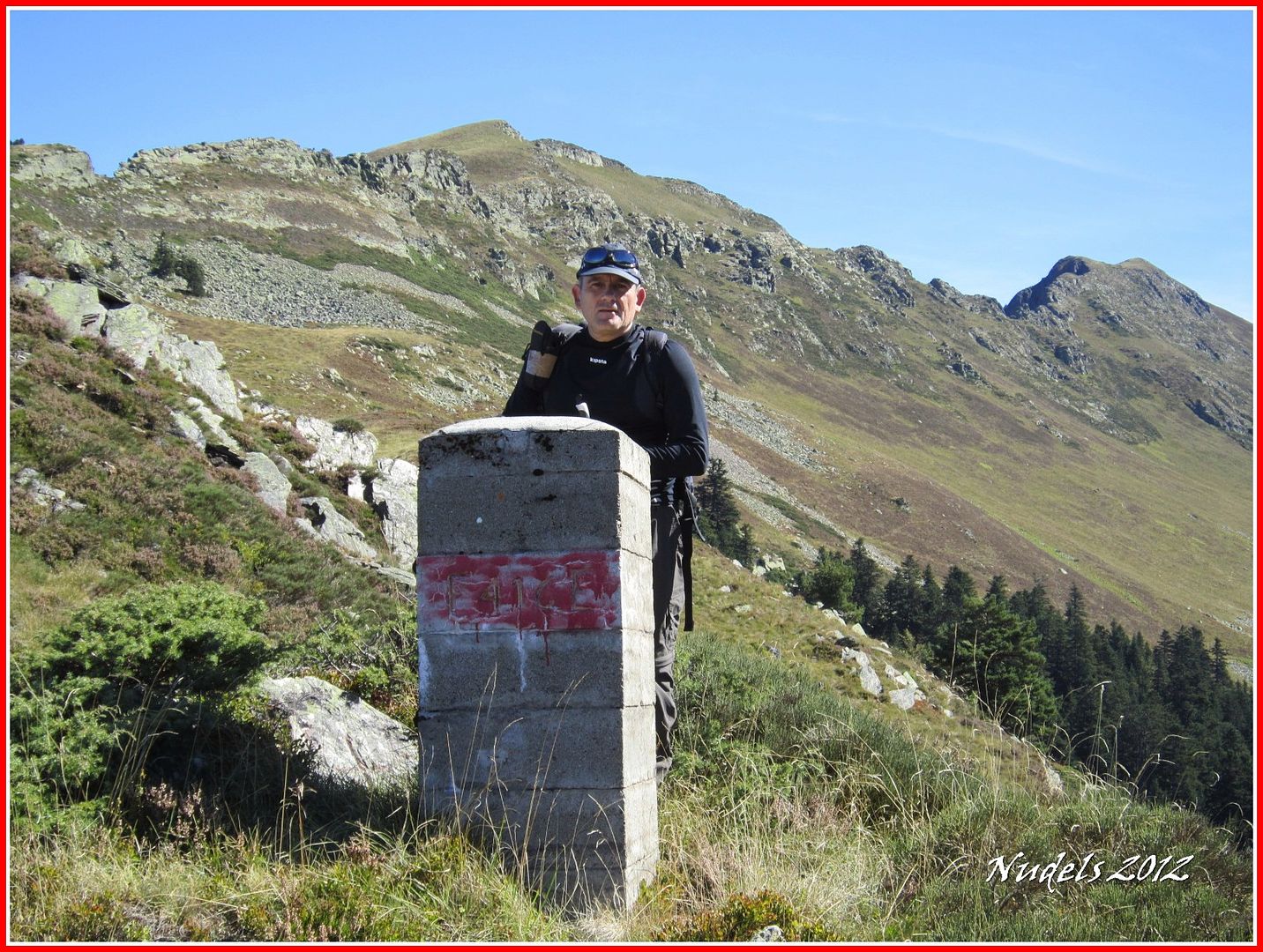
12h12: Llegamos a la muga 416.
12h21: Y poco después llegamos al Cap dera Potèrla (1.782 m.).

12h27: Seguimos hacia nuestro próximo objetivo.

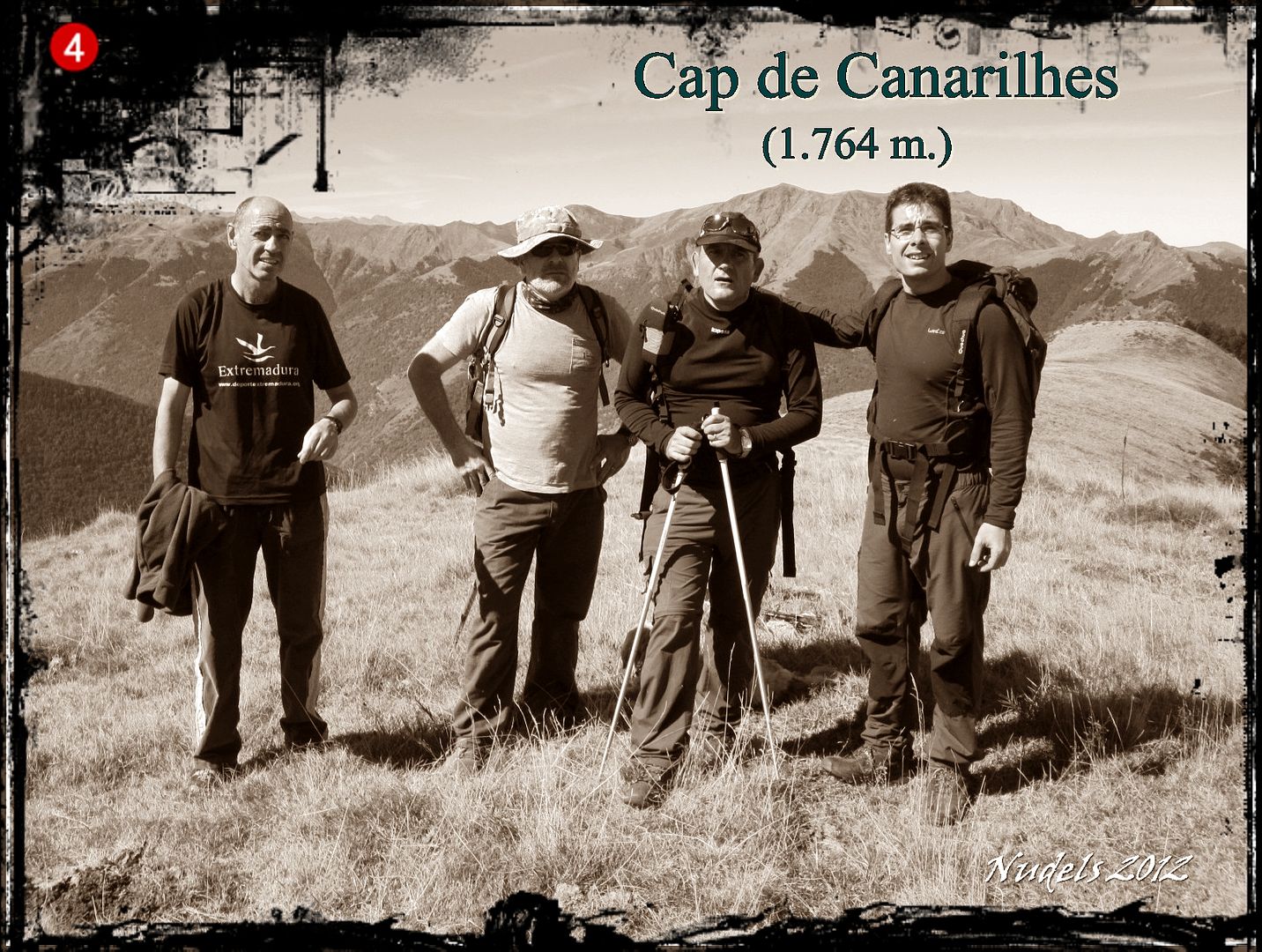
12h36: El Cap de Canarilhes (1.764 m.).
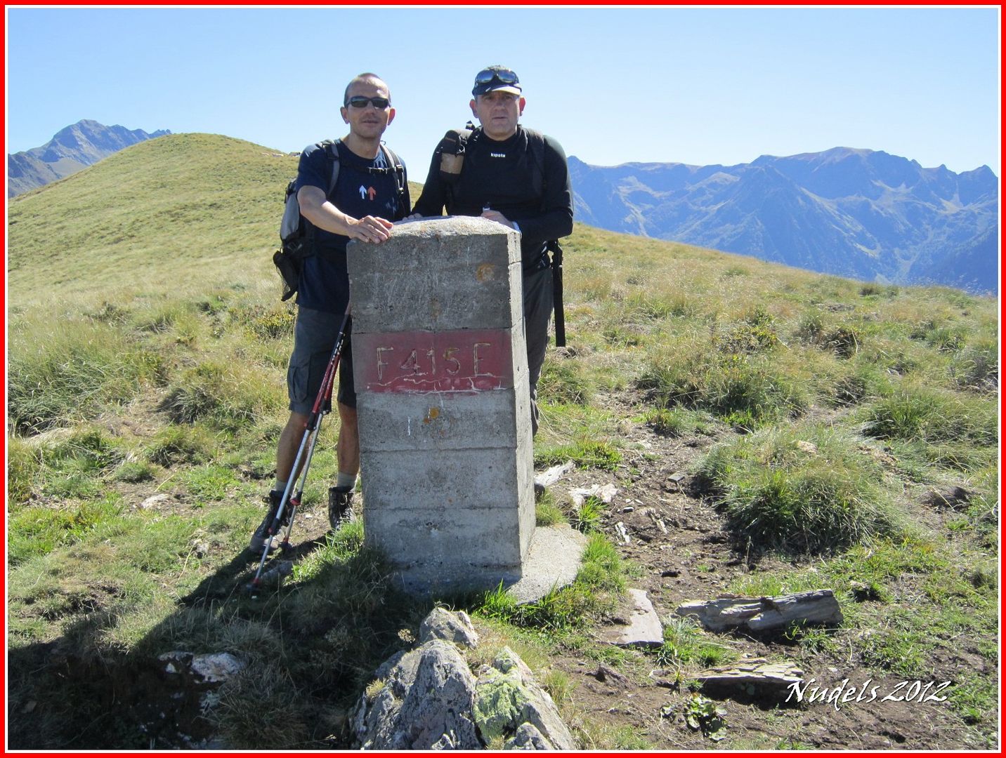
12h43: Unos centenares de metros más adelante encontramos la muga 415.
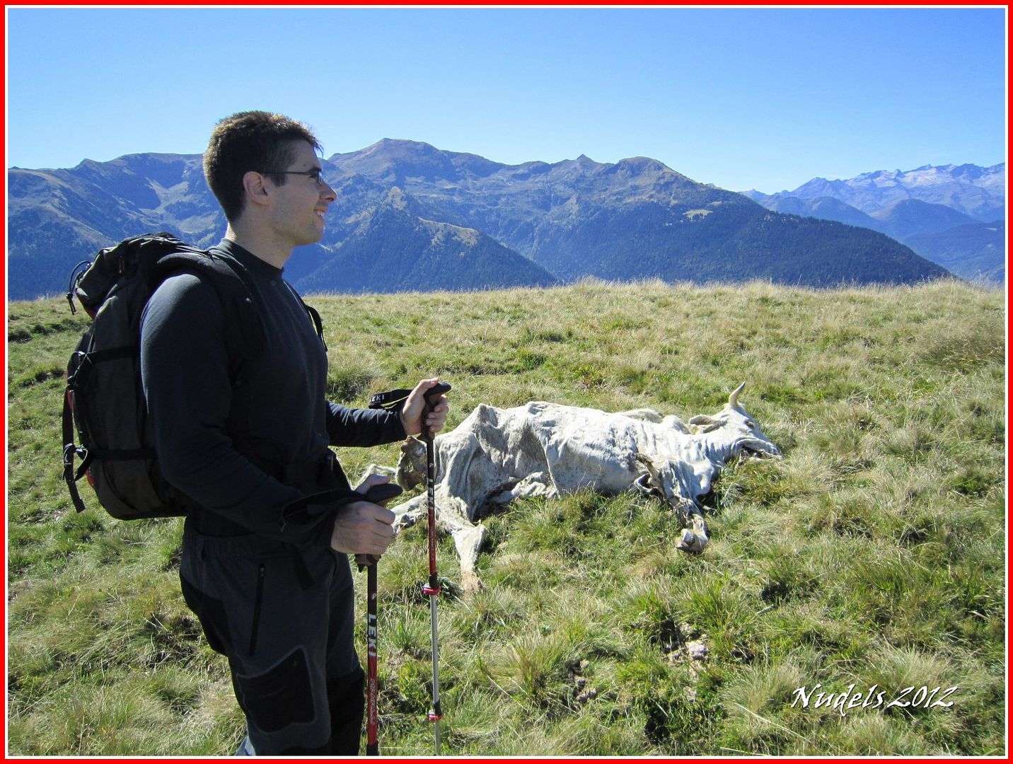
12h48: Continuamos y vemos alguna vaca comida por los buitres.
12h51: Y así llegamos a lo más alto del Tuc de Pan (1.723).

12h55: Y ahora para abajo.

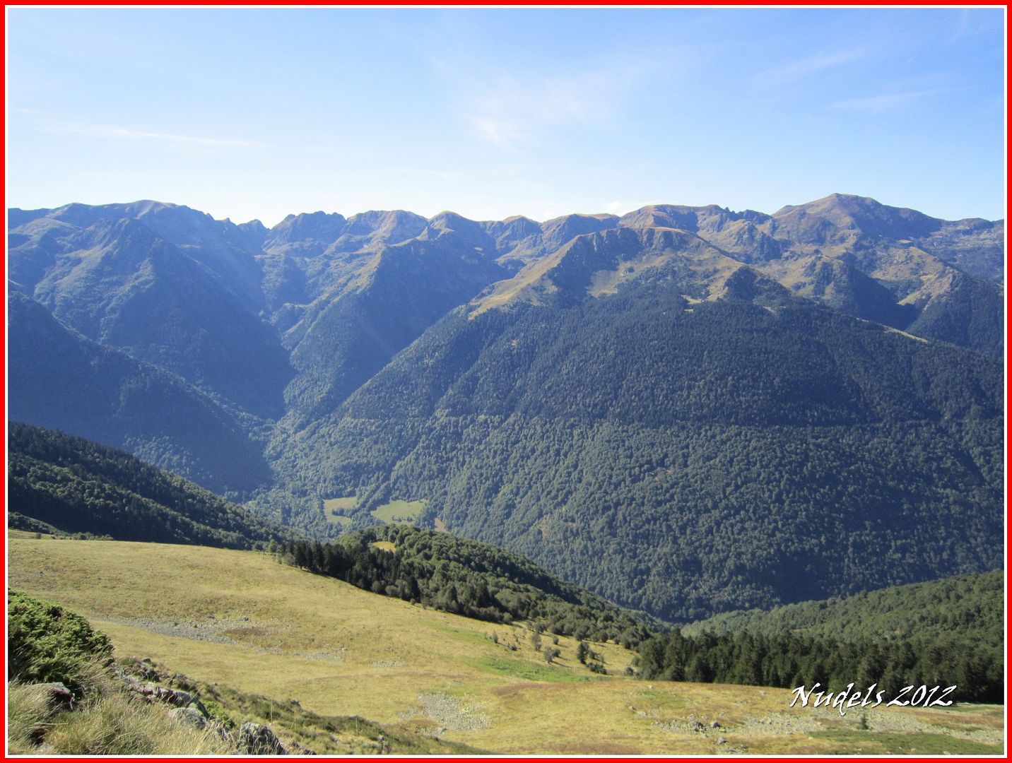
13h08: Nos espera un largo descenso.
13h21:
13h49: Llegamos a las primeras casas de Canejan.
13h54: Y atravesamos el pueblo.
14h02:
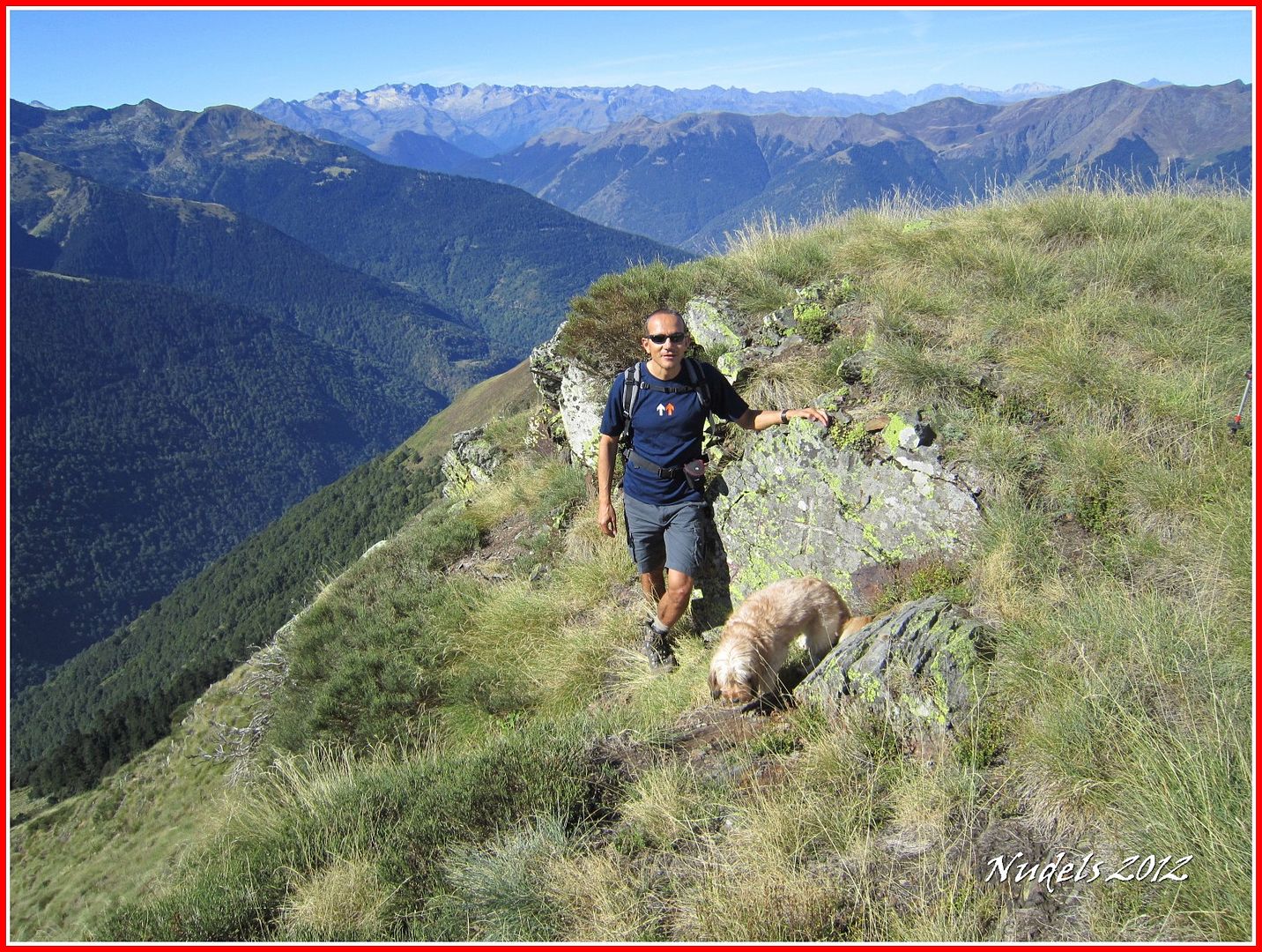
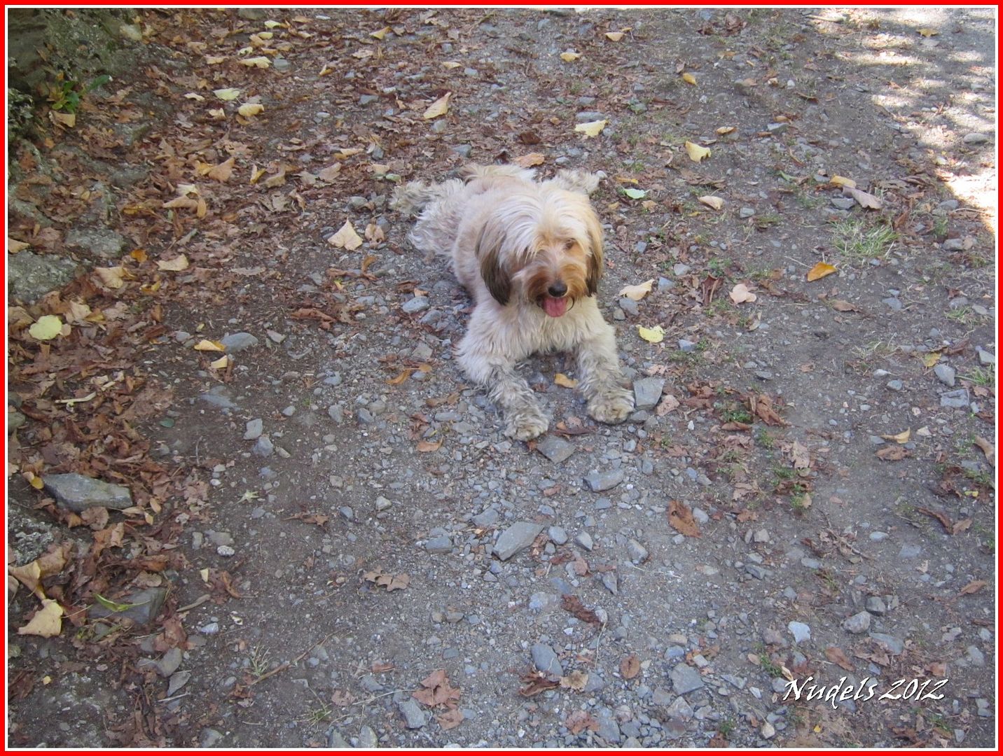
14h15: Es el momento de Bicho (es hembra) que ha sido una buena aliada controlando en todo tiempo al grupo.
14h15: Llegamos cerca del punto de partida.
14h21: Y una vez en el parking sacamos los datos técnicos.
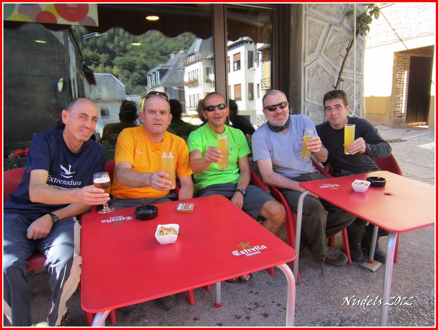
14h21: Y en el Bar Tuste en Les nos quedamos un tiempo, primero fue "un tubo", luego otro y así hasta finalizar hablando de un solo tema de montaña y de montañer@s.


No hay comentarios:
Publicar un comentario