La actividad persigue dos objetivos saber el tiempo que tardo desde el punto de inicio al punto final para futuras incursiones por la zona incluso corriendo ya que también forma parte de una ruta especial para BTT, y por supuesto cazar los mojones fronterizos así como hollar las montañas que se interpongan por el camino...
Todos los nombres están copiados de los mapas del ICC (Instituto Cartográfico de Cataluña).
Todos los nombres están copiados de los mapas del ICC (Instituto Cartográfico de Cataluña).
OBSERVACIONES Y CURIOSIDADES :
Se puede coger agua en el abrevadero entre la muga 340 y 341.
Telefonía móvil: Con poca cobertura Movistar.
Fotografía: Instantáneas capturadas con una cámara digital Fujilm 100.
DATOS TÉCNICOS: REFERENCIA:Mapa excursionista: Alpina Escala 1:25.000
Actividad: Senderismo, Artiga de Lin, lleida - Catalunya(España)
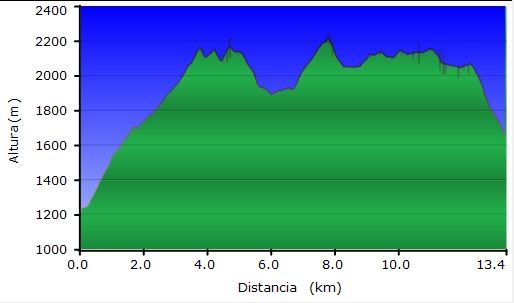
Distancia recorrida: 13,38 kilómetros, error en el track el recorrido ronda los 14 km.
Altitud min: 1.222 metros, max: 2.218 metros
Desnivel acum. subiendo: 1.514 metros, bajando: 1.066 metros
Grado de dificultad: Fácil
Tiempo: 7 horas 6 minutos
Fecha: 5 de agosto de 2011
Finaliza en el punto de partida (circular): No
El track
© nudels Tots els drets reservats
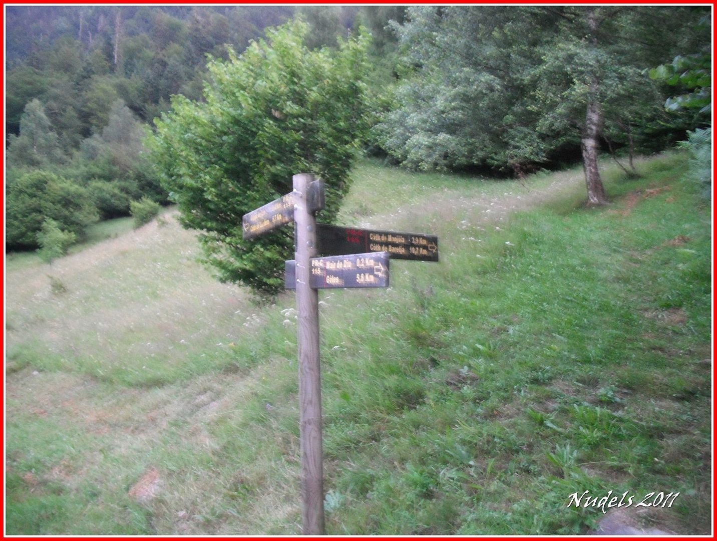
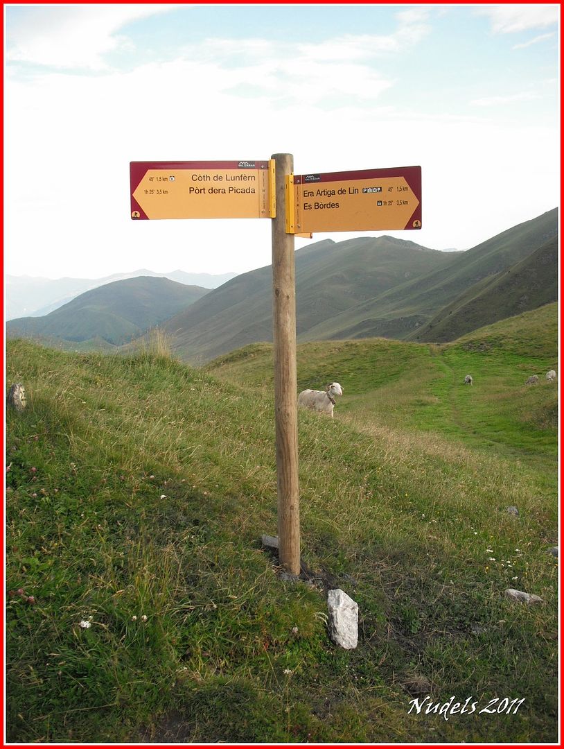
06h35: Con dirección a la Artiga de Lin, una vez que hemos pasado la ermita de la Mair de Diu dera Artiga de Lin, sale a la derecha el PR que sube al Còth dera Monjoia.
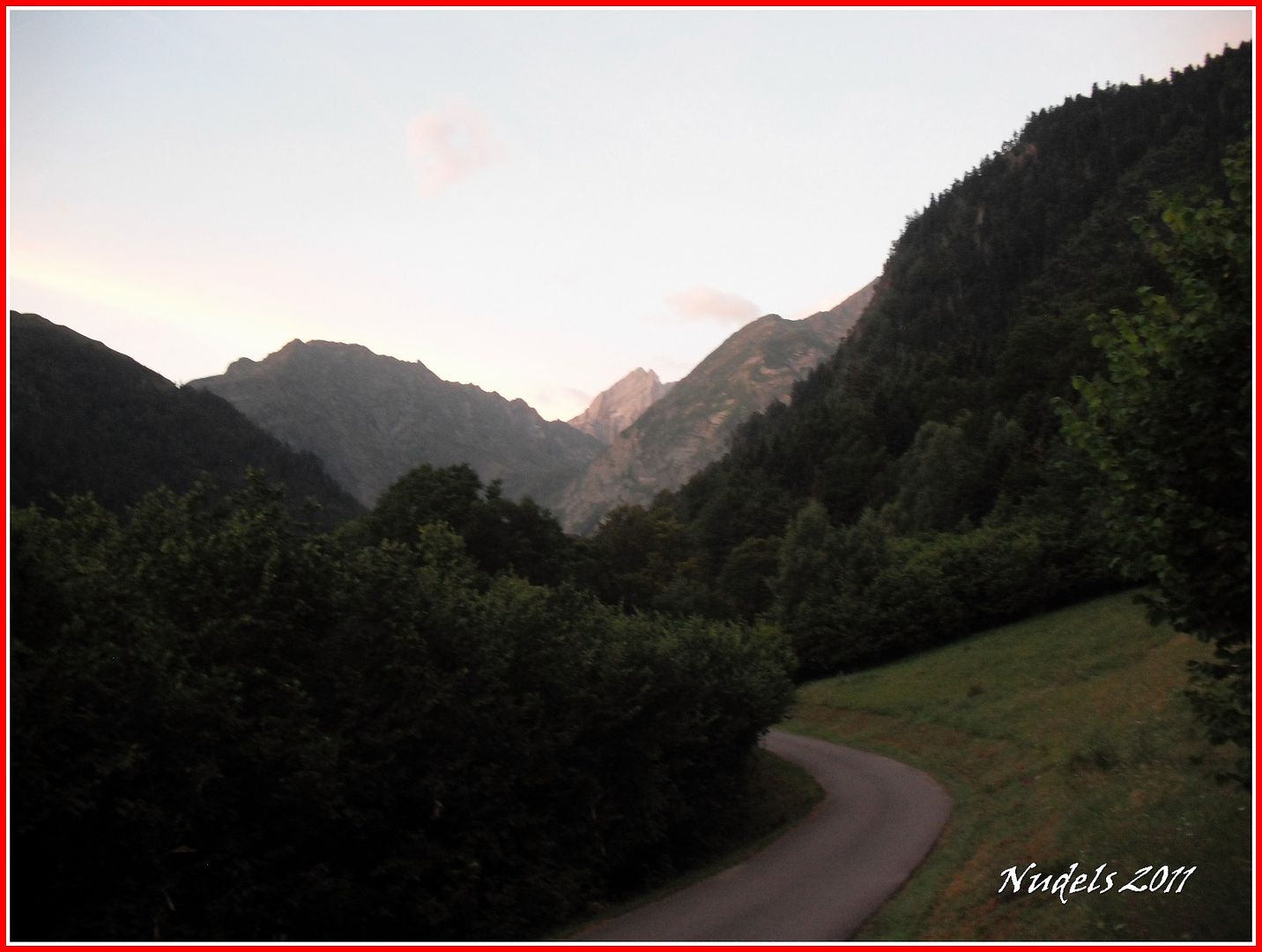
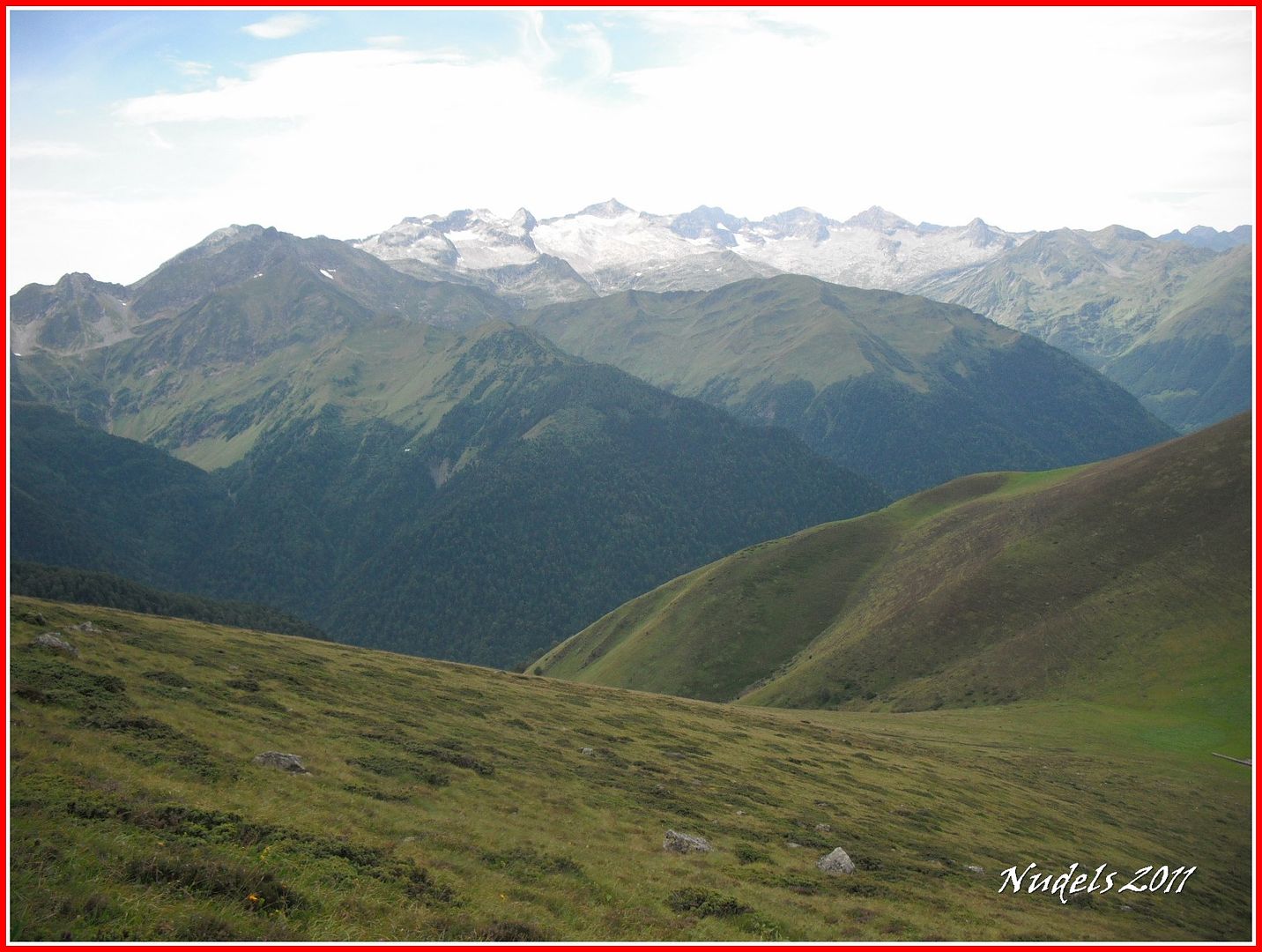
06h36: Hacia el Sur a lo lejos despunta los Malhs des Pois o Forcanadas.
07h26: Después de una dura subida por el bosque salimos al claro y en poco tiempo llego a la Cabana dera Montanha d'Aubert.
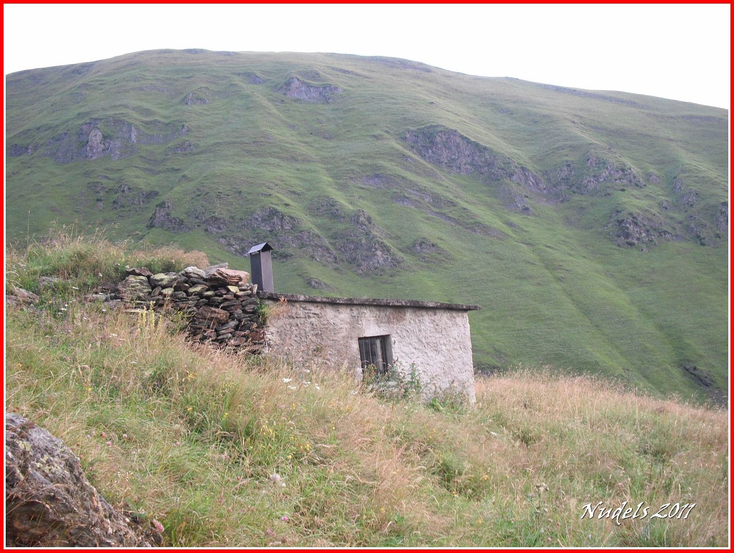
07h27: Una vista más detallada de la cabaña pastoril.

08h10: Seguiré el camino, a veces lo perderé, hasta el collado.
08h10: Lo que voy dejando detrás.
08h22: Ya estoy en las cercanías del collado.
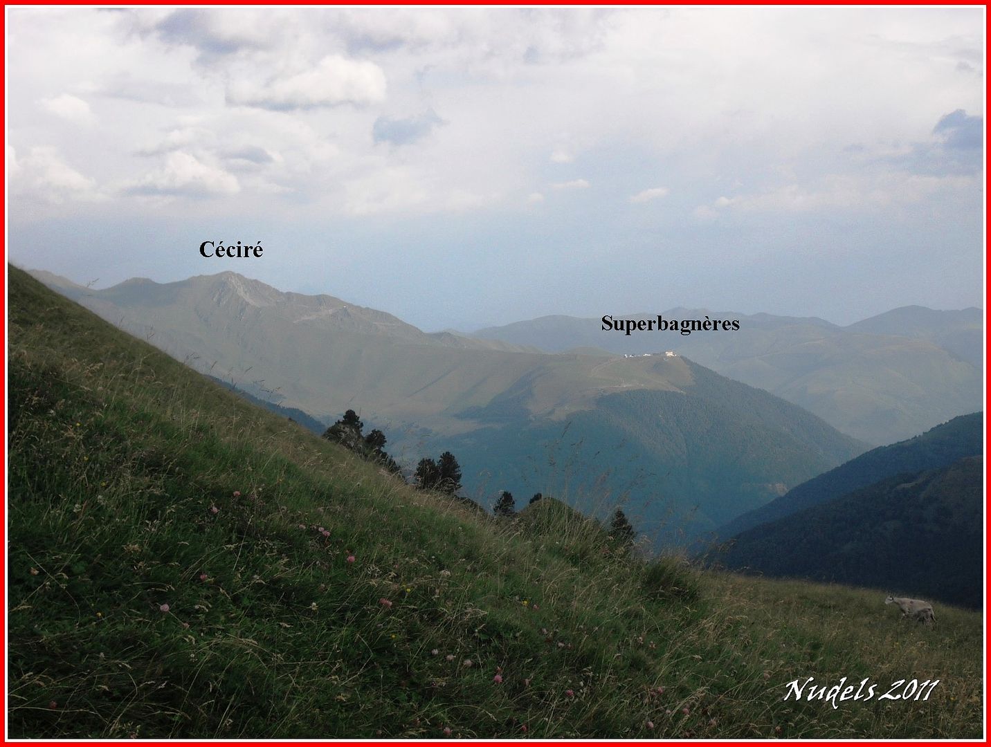
08h24: La parte francesa, con el Céciré y Superbagnères de Luchon.
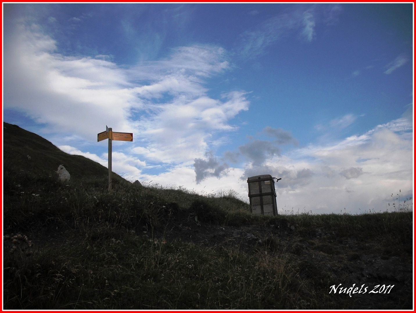
08h25: El collado, el Còth dera Montjòia antaño un paso importante para los evadios, los refugiados, los contrabandistas, los maquis y los extraperlistas.
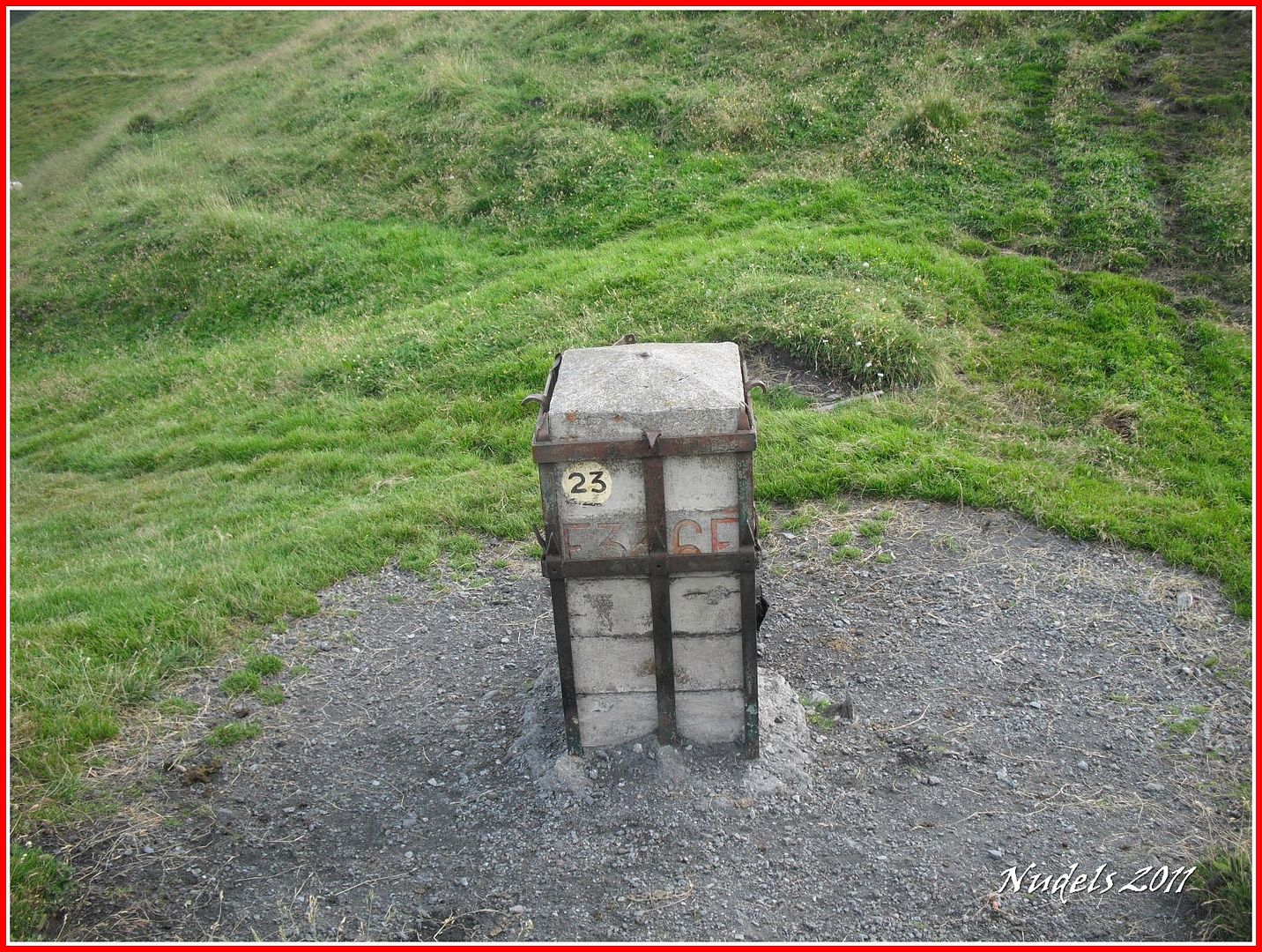
08h26: La muga 366.
08h35: Subo hacia el pico y de nuevo la parte francesa.

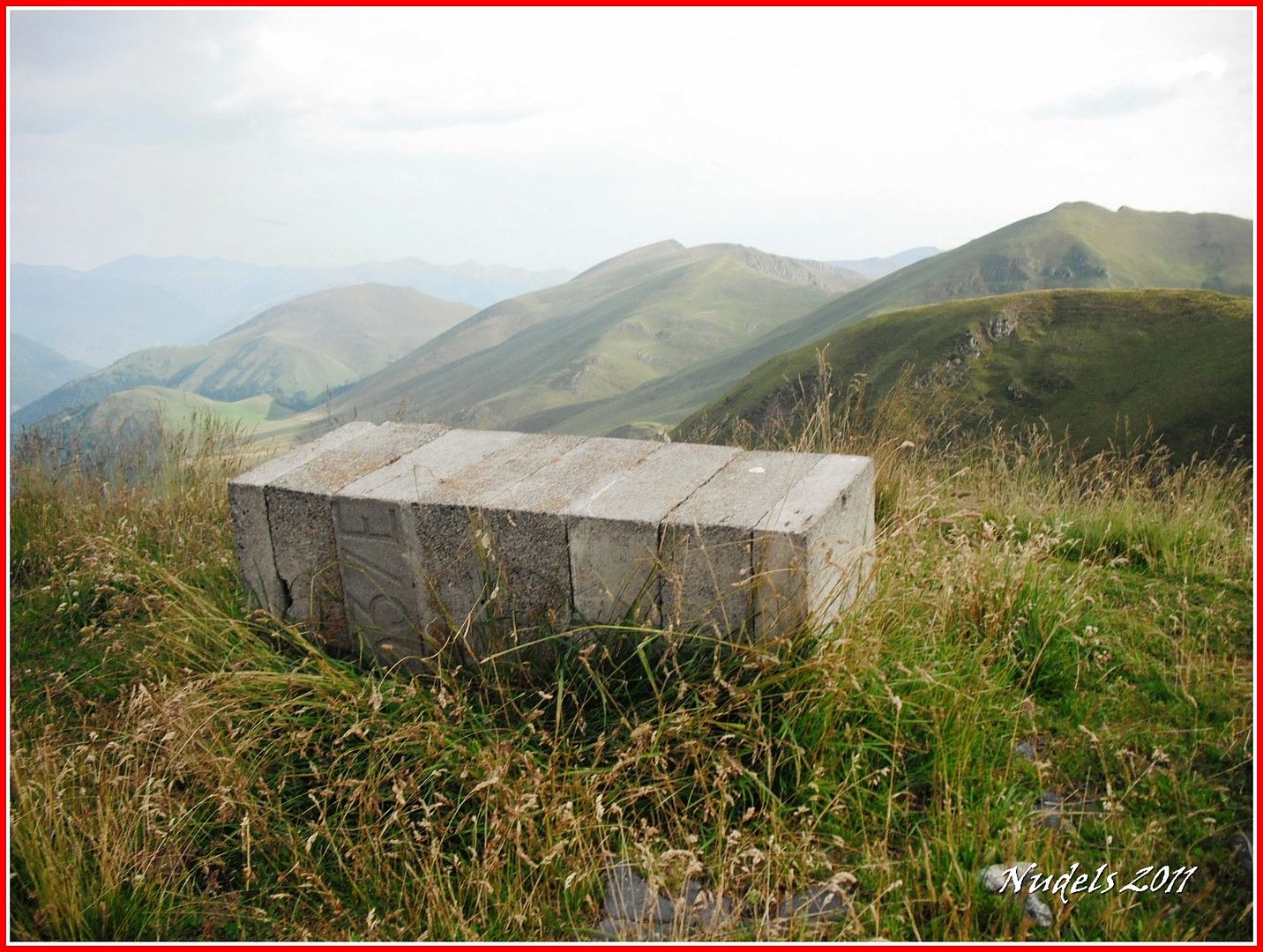
08h46: Ya en el Tuc dera Montjòia donde está la muga 367.
08h56: Pues vamos a celebrarlo como se merece.

09h01: Ahora tengo que seguir por el cordal fronterizo.
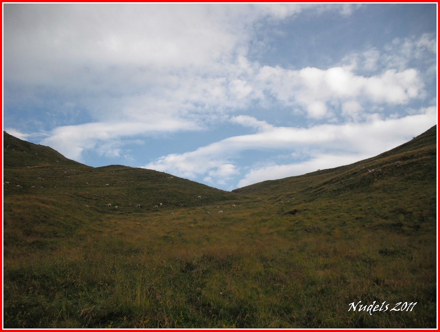
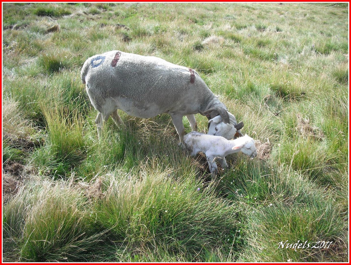
09h04: En el trayecto me desvío para contemplar una tierna escena el nacimiento de una oveja.
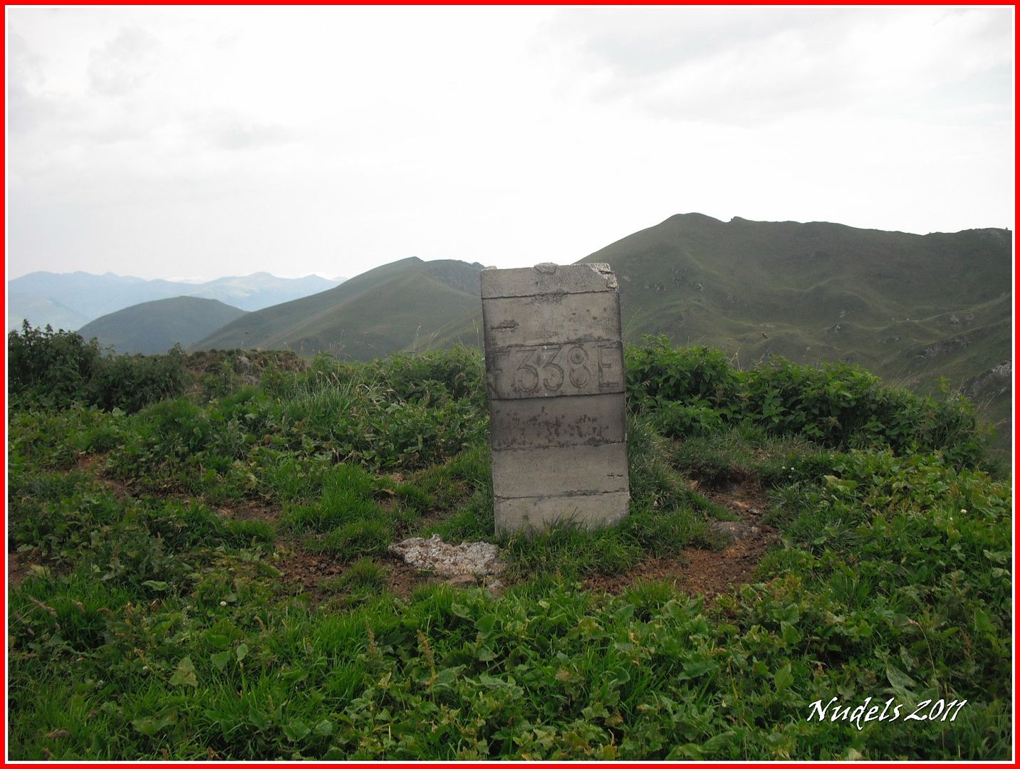
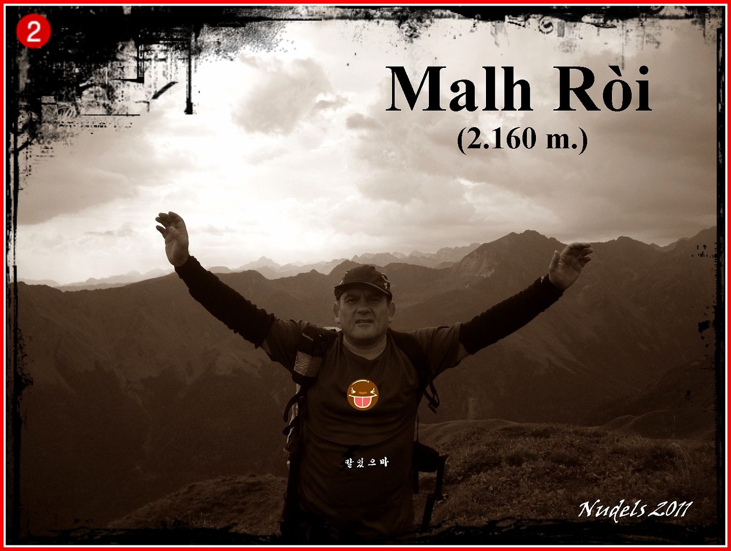
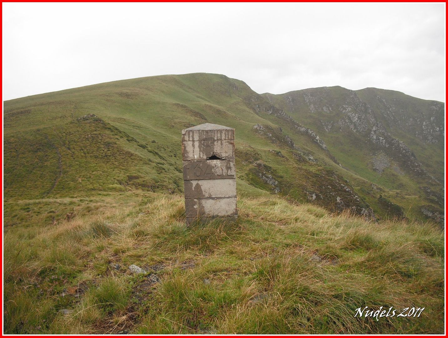
09h39: Después anterior subo hasta el Malh Ròi donde está la muga 338.
09h42: Pues a celebrarlo también.
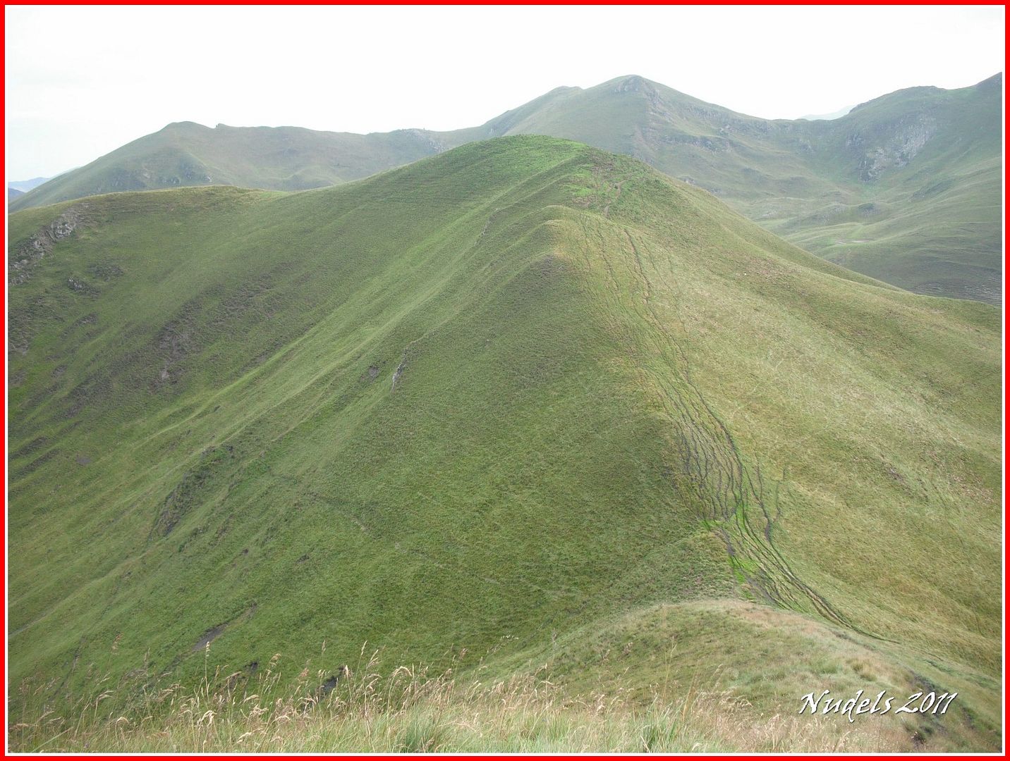
09h45: A la derecha, al Norte en Tuc dera Entecada, yo continúo por el cordal (W) y consigo llegar...
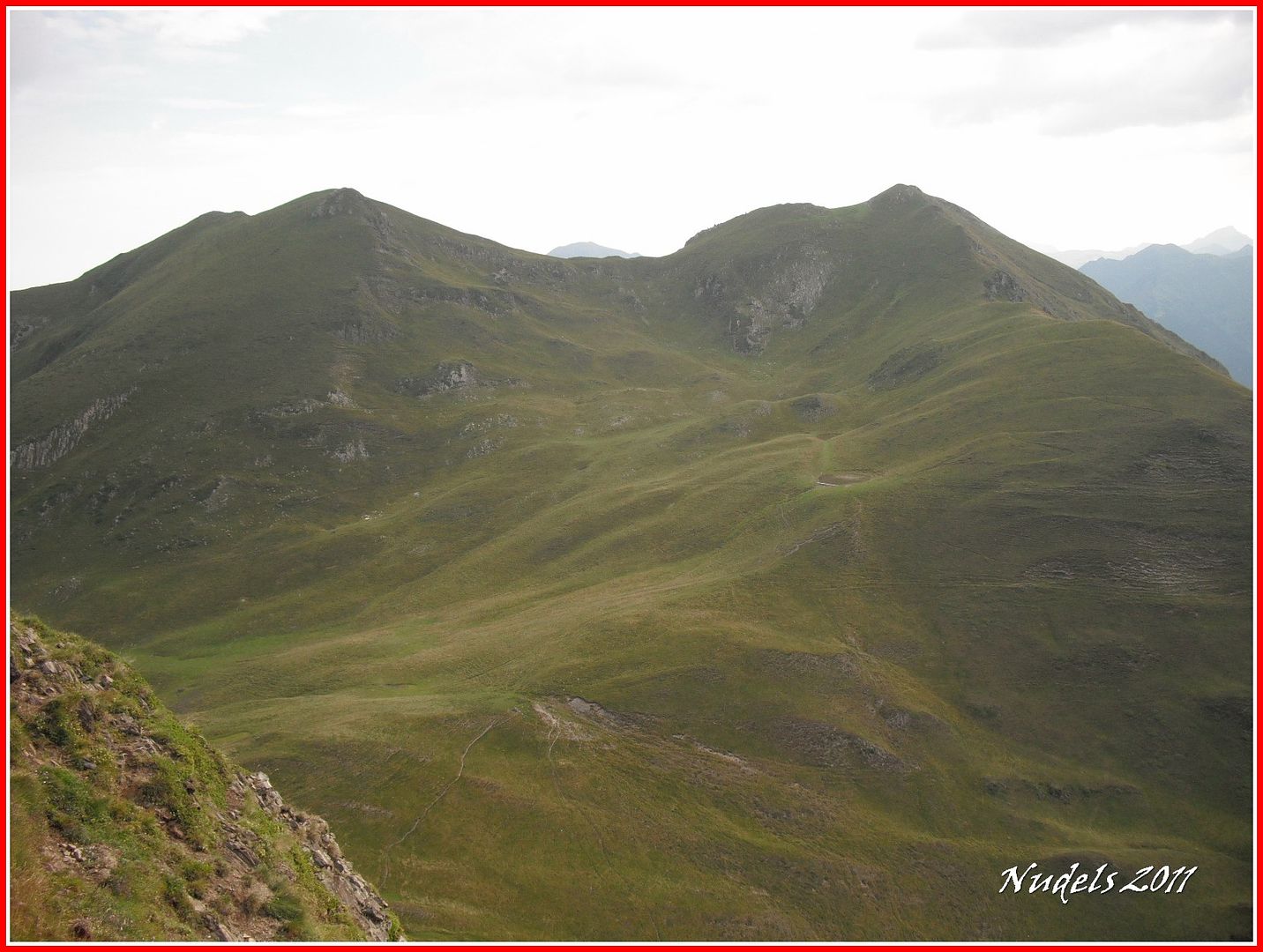
09h54: ...a lo más alto del Tuc de Ribassetes (2.135 m.) donde está la muga 339.

10h05: La zona pastoril francesa de Romingau y Campsaure, sigo bajando y llego...

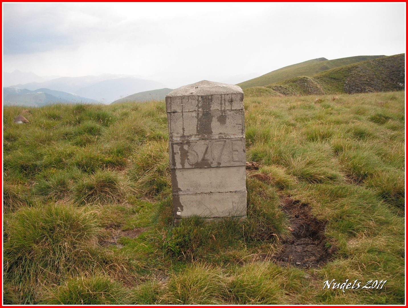
10h16: ...a la muga 340.
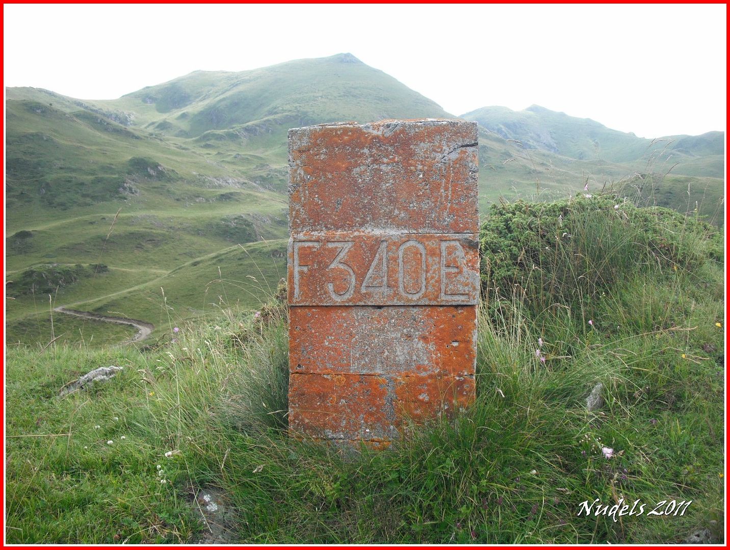
10h20: Bajaré hasta el abreradero (Eth com, en aranés) y cogeré agua.
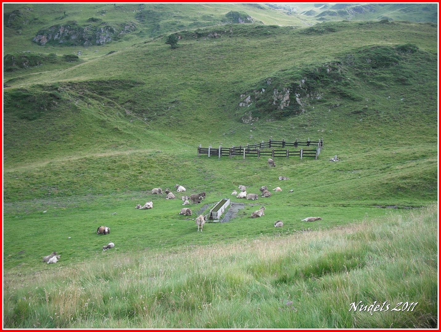
10h22: Vengo en plan pacífico a recoger agua.
10h33: Y ahora por las faldas del Poilanèr a por el siguiente mojón.
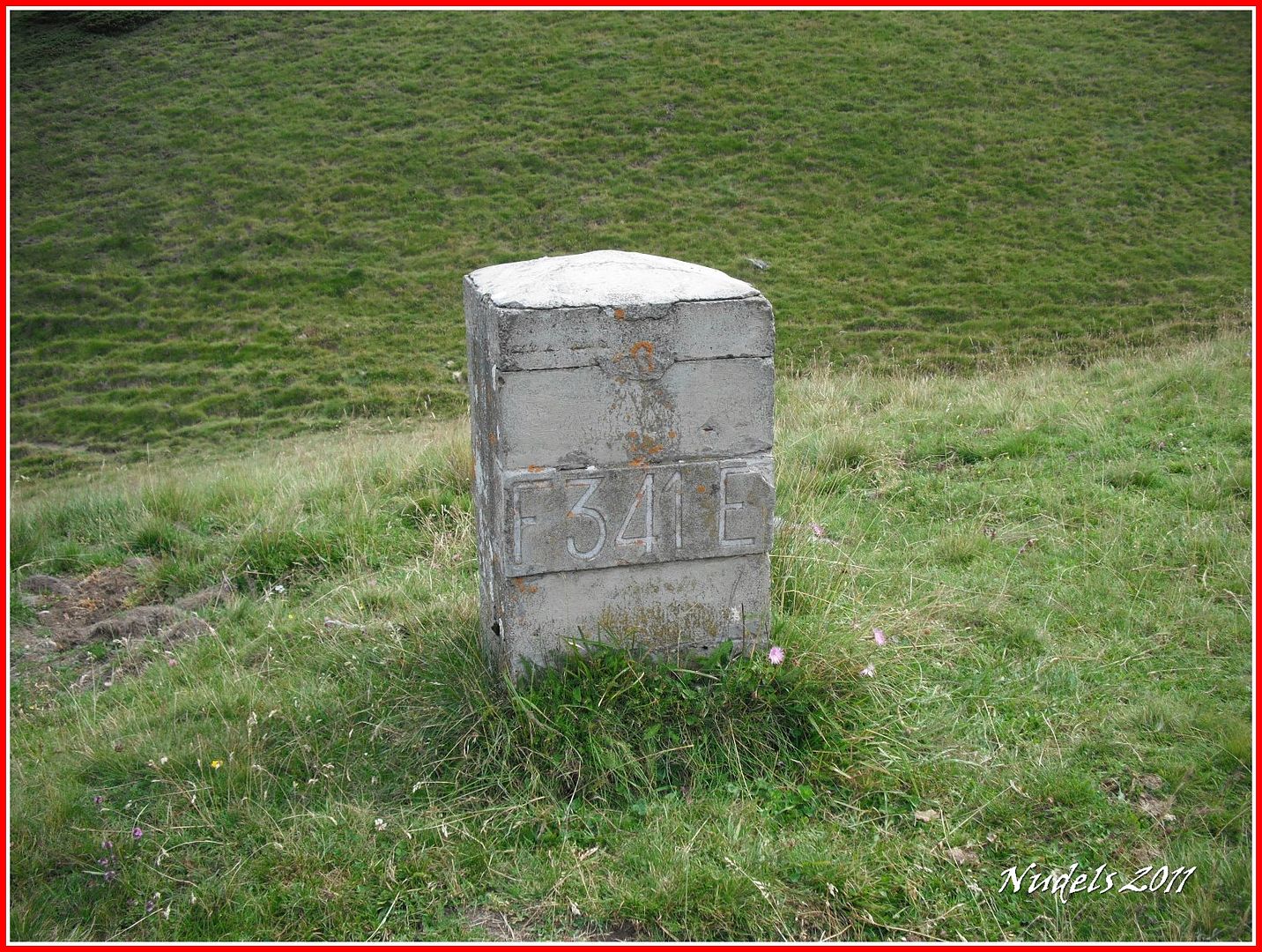
10h36: Se trata del 341.
10h37: El siguiente está allí arriba.
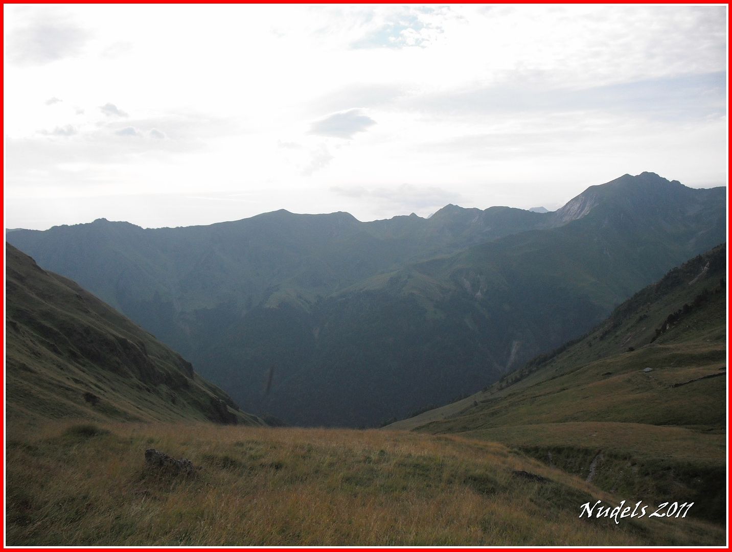
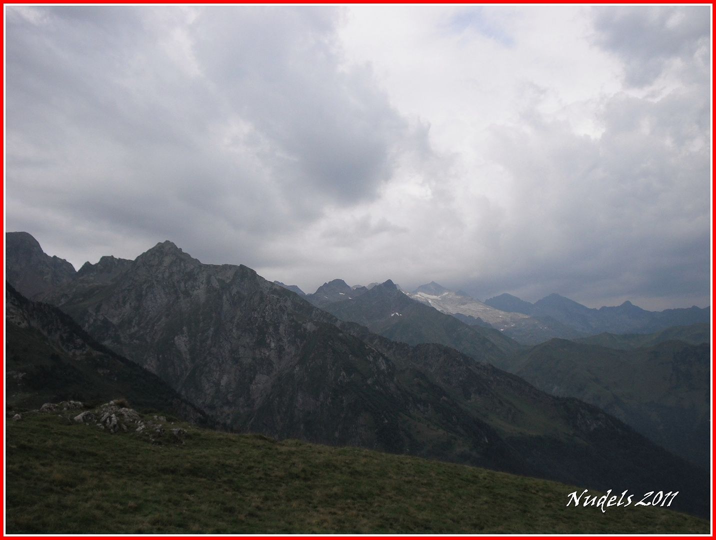
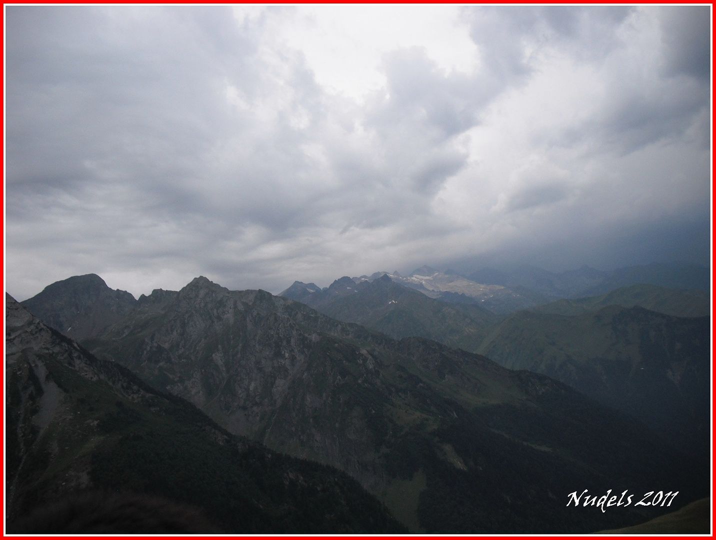
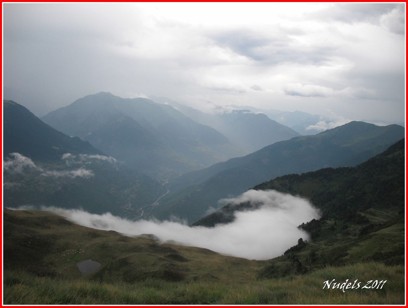
10h39: Por la parte francesa pintan bastos, al final me cogerá la tormenta.
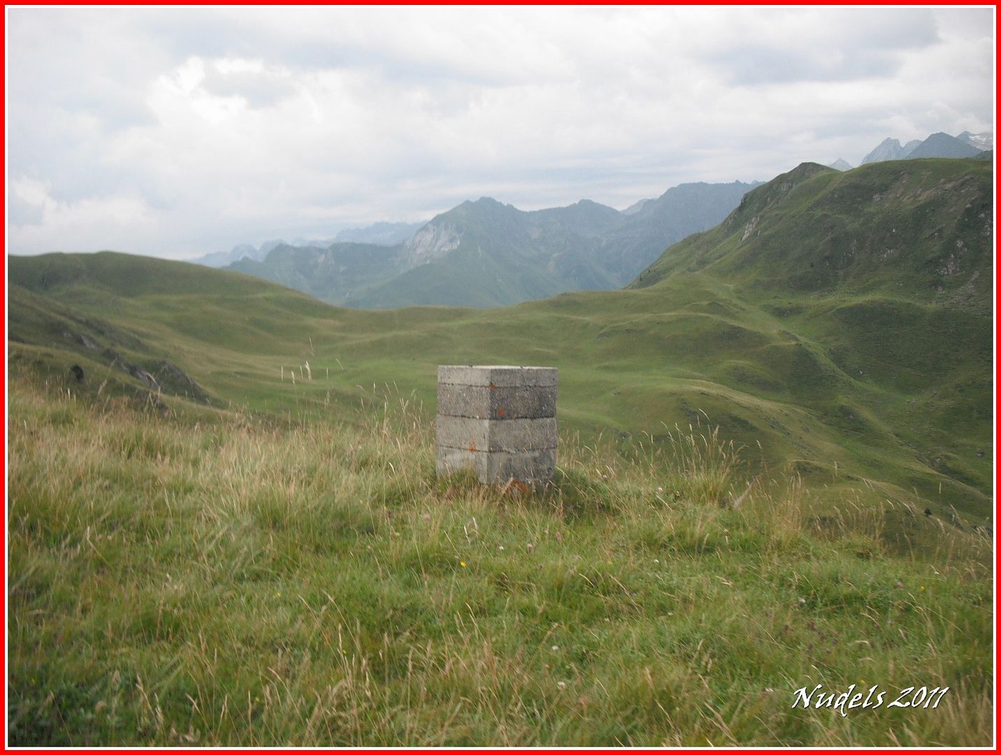
10h57: Llego a la muga 342.
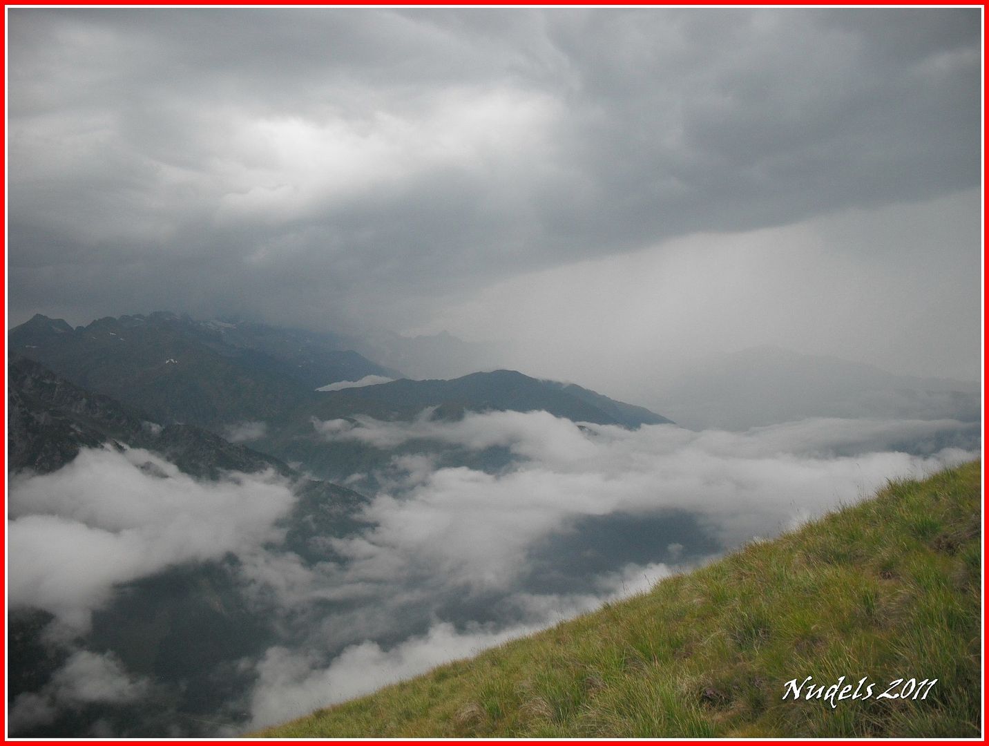
11h01: Tengo claro que me pilla la tormenta porque me están acariciando las primeras gotas.
11h17:
11h23: Entre la lluvia consigo llegar a la muga 343 que está enclavada en...

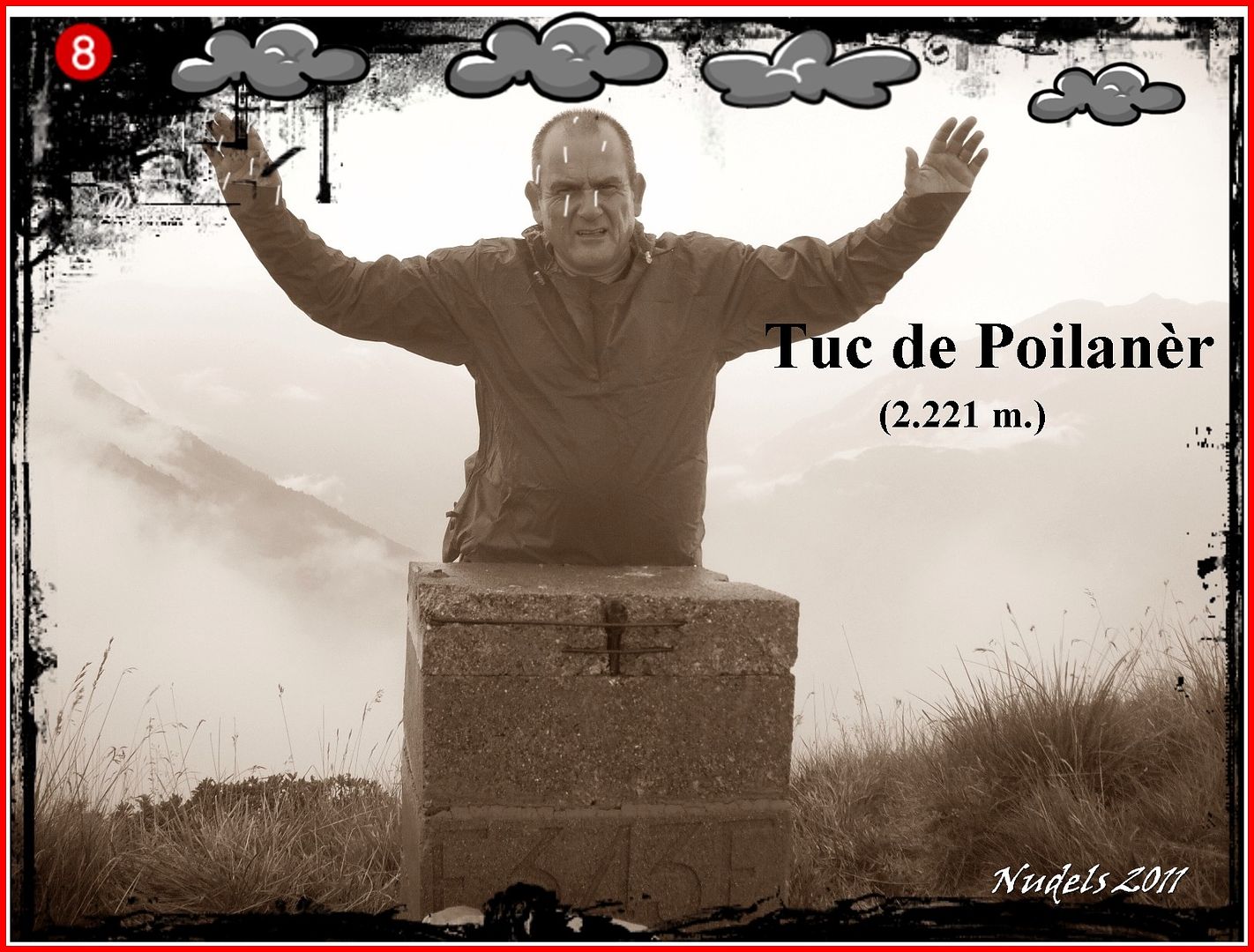
11h27: ...lo más alto del Tuc de Poilanèr (2.221 m.).
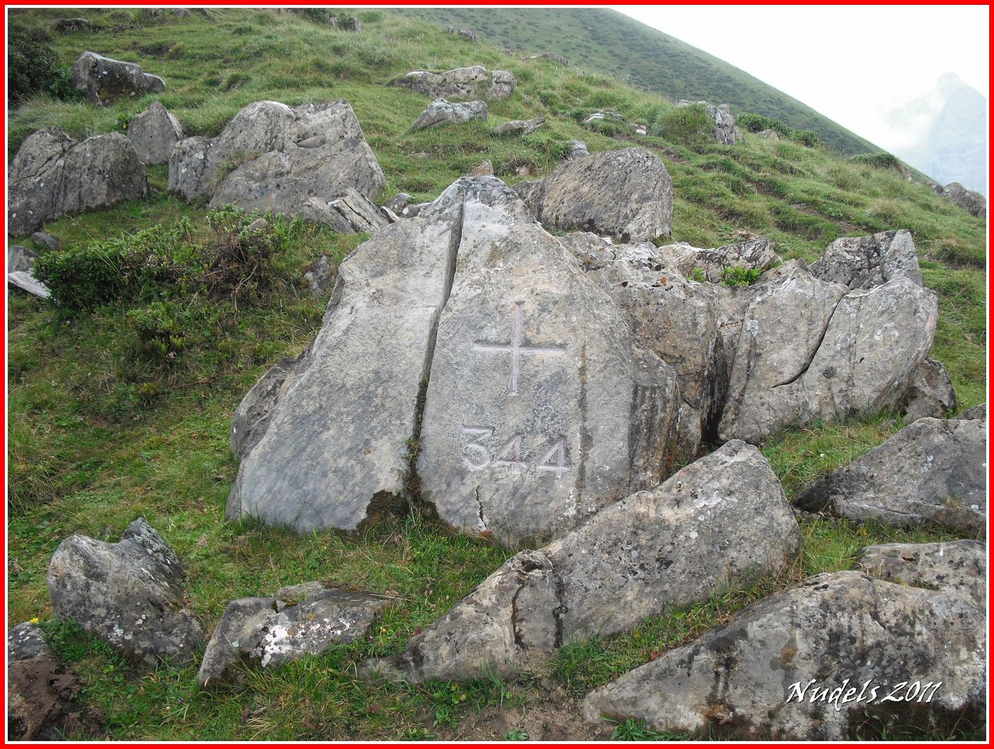
11h41: Bajo entre un diluvio por la cara W., del Poilanèr y al pie de su falda encuentro la muga 344.
11h47: Recorro unos metros y llego a la muga 345.
11h47: El tiempo sigue igual tirando a peor.
11h50: Llego a la muga 345 y parece que la tormenta ya pasó de largo.
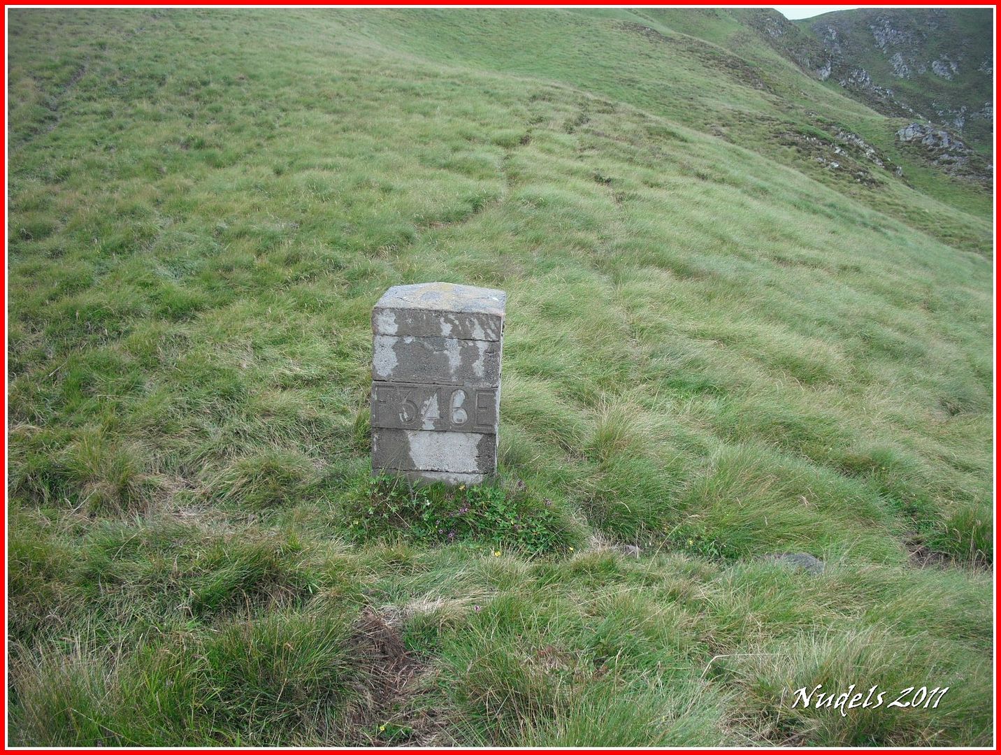
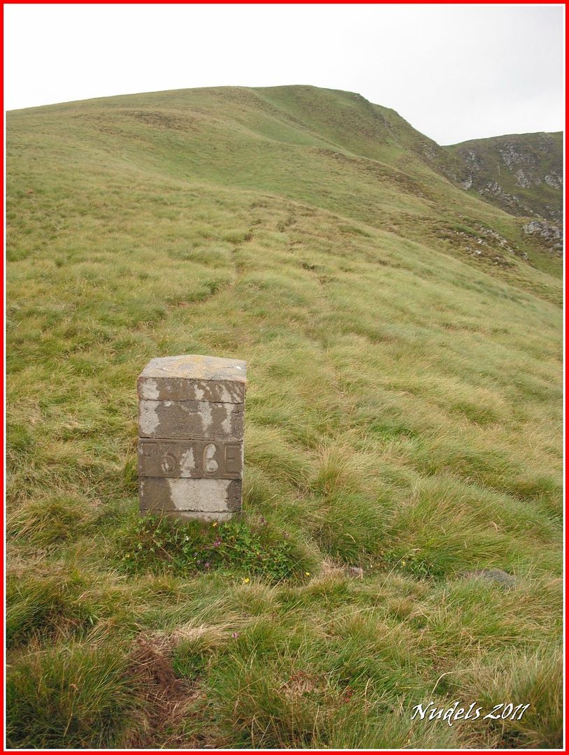
11h50: Sigo por el cordal hasta la muga 346.
11h57: Y también a la muga 347.
11h57:
12h04: Una mirada atrás.
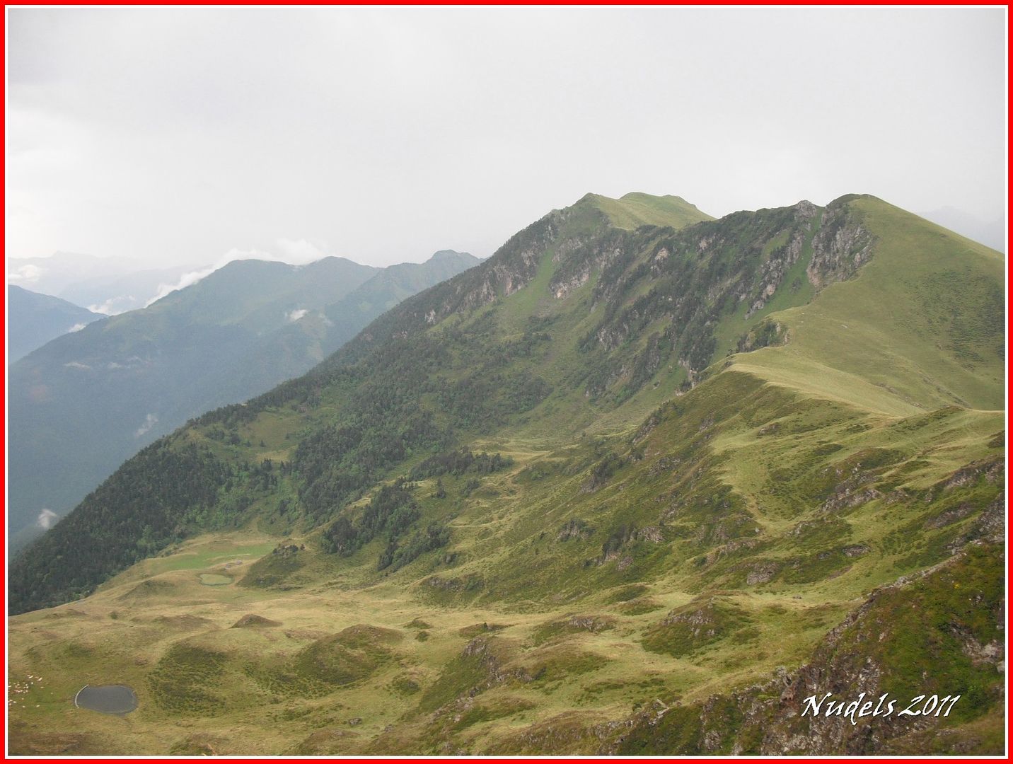
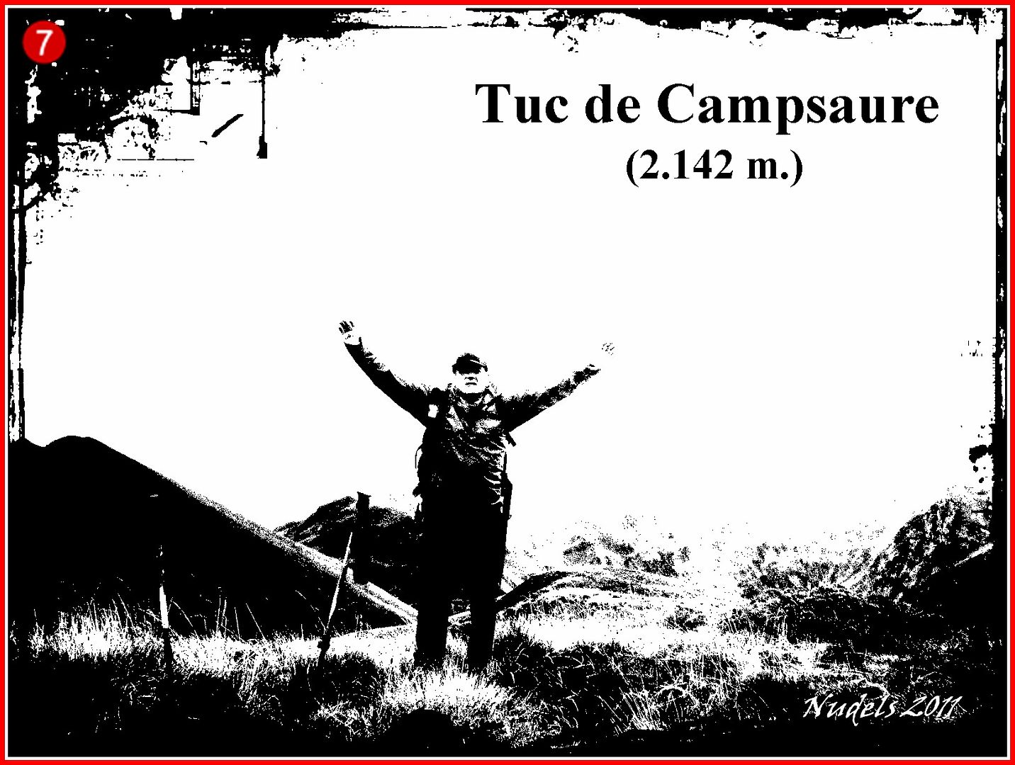
12h05: También tacho hoy el Tuc de Campsaure (2.142 m.).
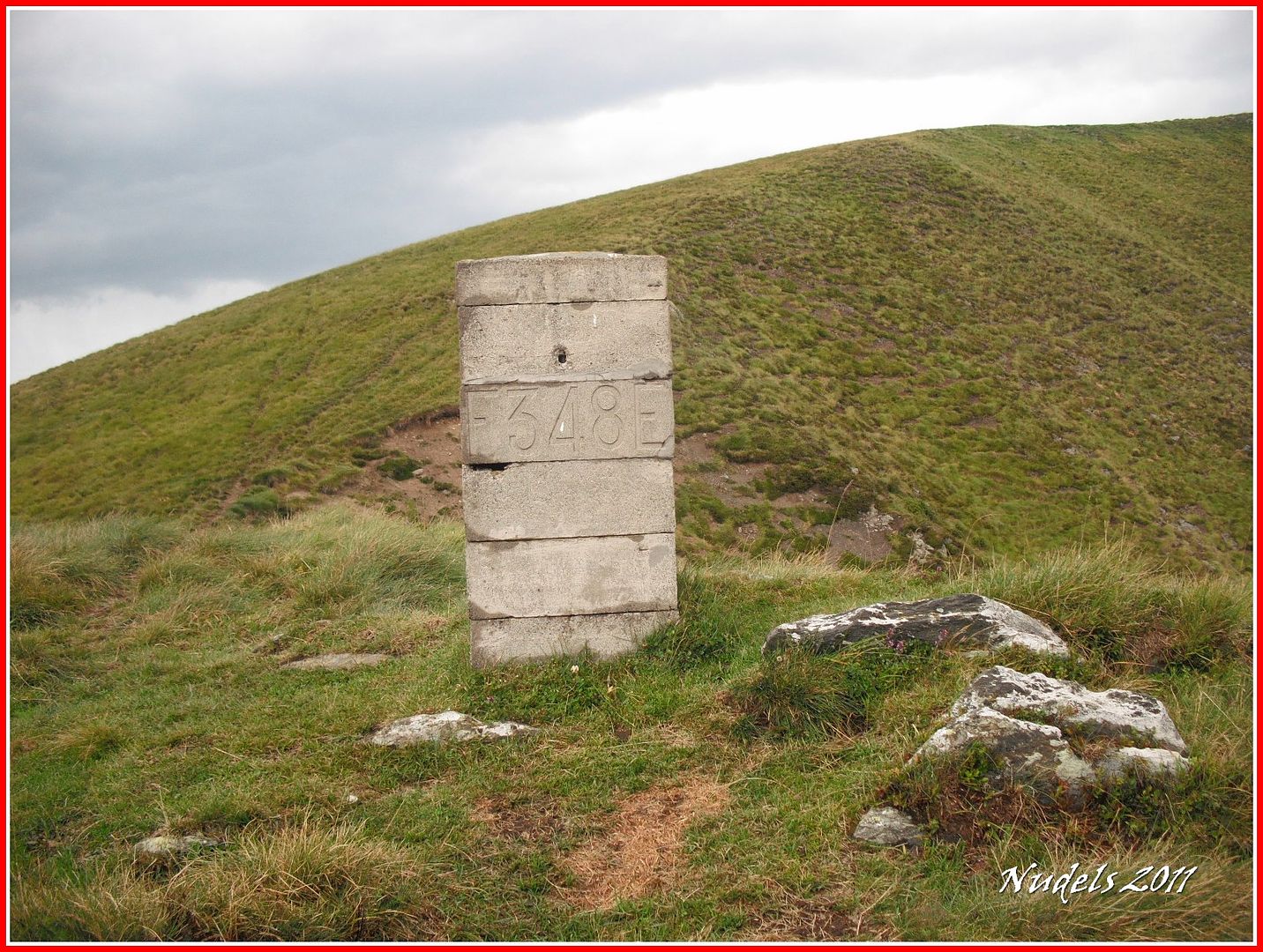
12h11:Despejado casi total así da gusto, llego al mojón 348.
12h22:De repente otra tormenta se cierne sobre mí, en esto que llego a la muga 349.
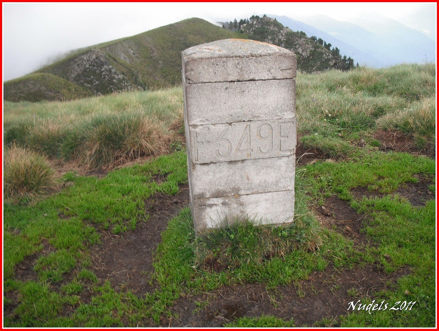
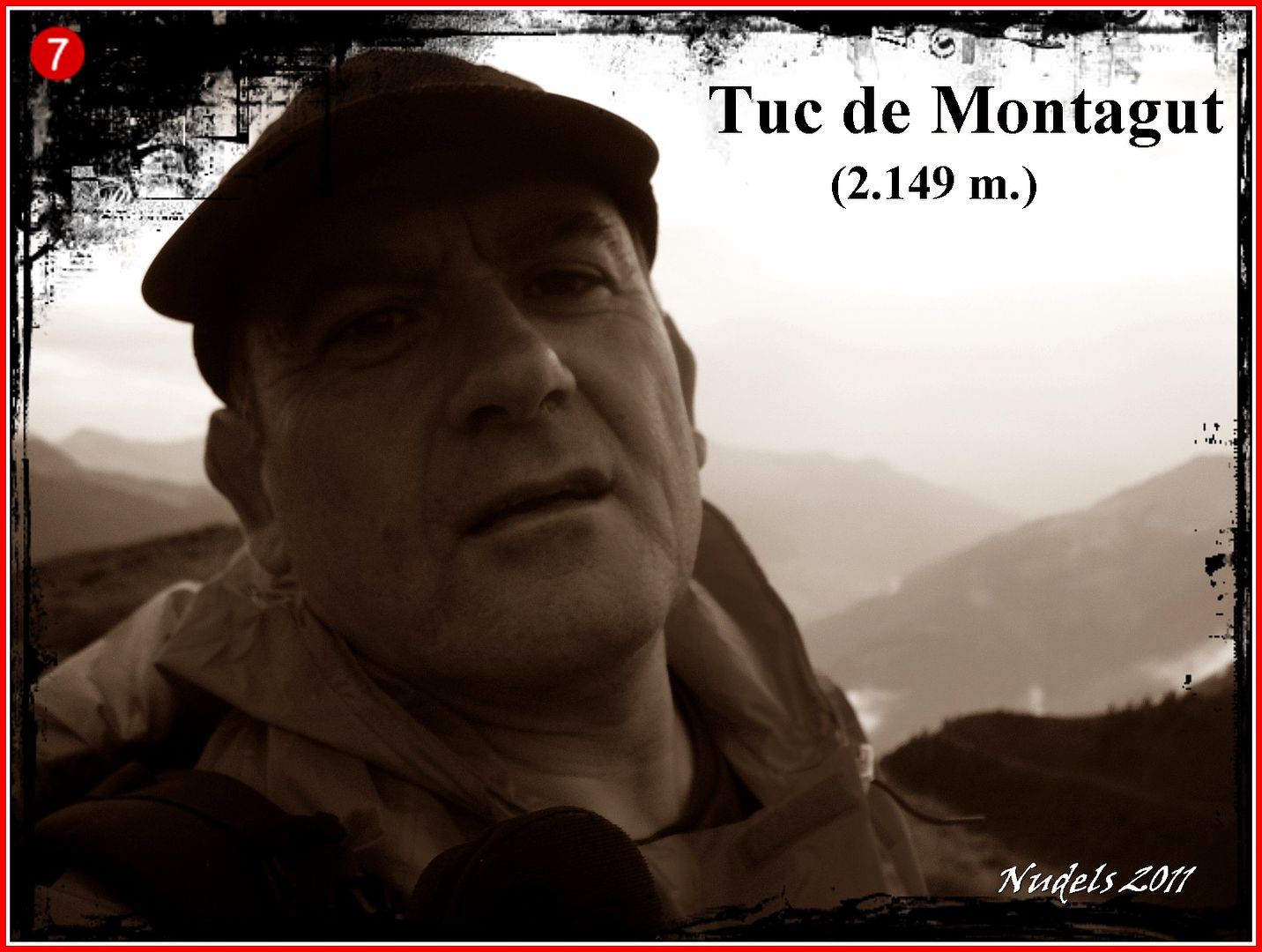
12h22: Y cerquita, muy cerquita lo más alto del tuc de Montagut (2.149 m.).
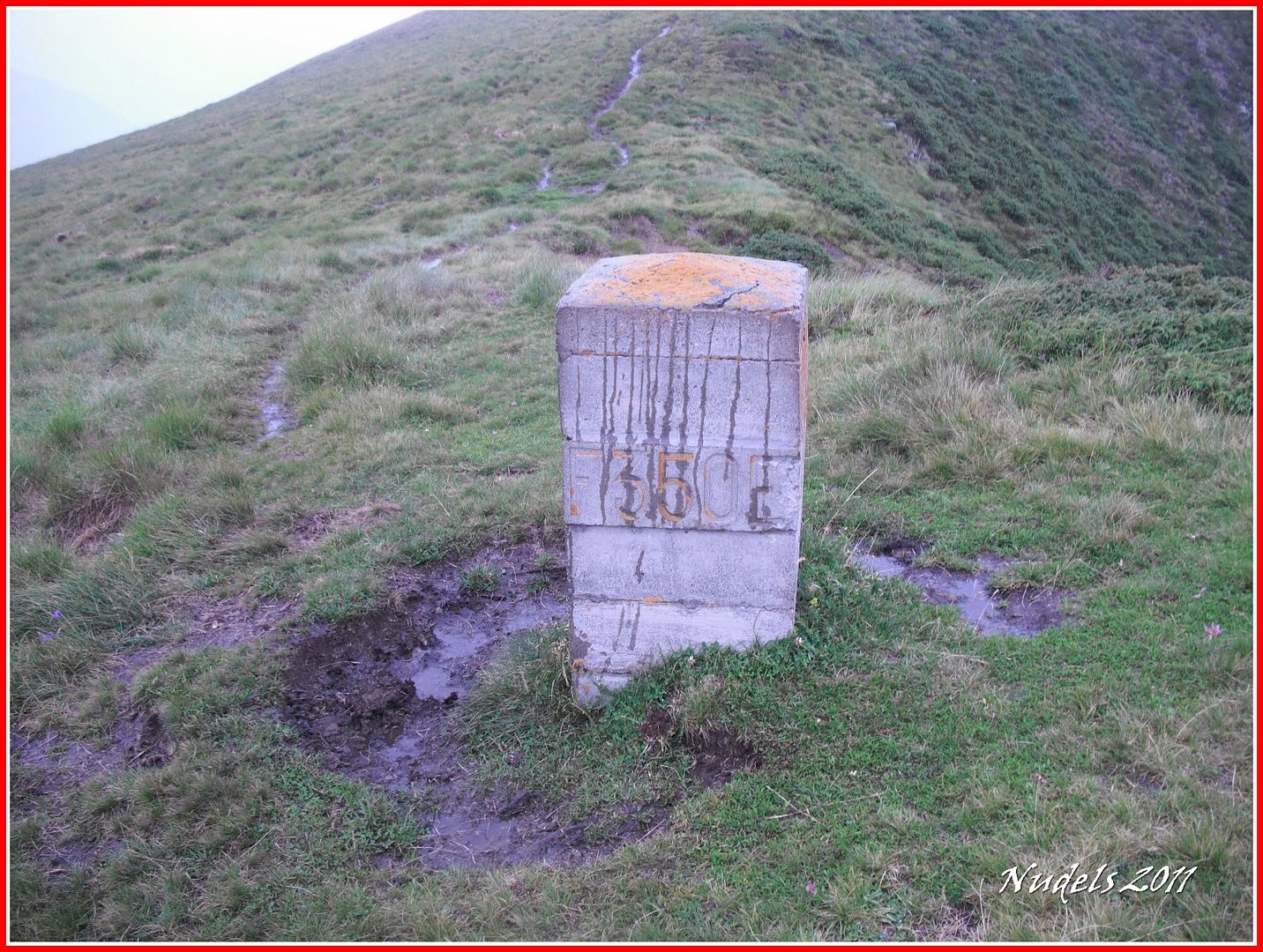
12h31: Para recorrer el cordal no hay secreto se trata de bajar y de subir, de subir y de bajar, así llego a la muga 350.
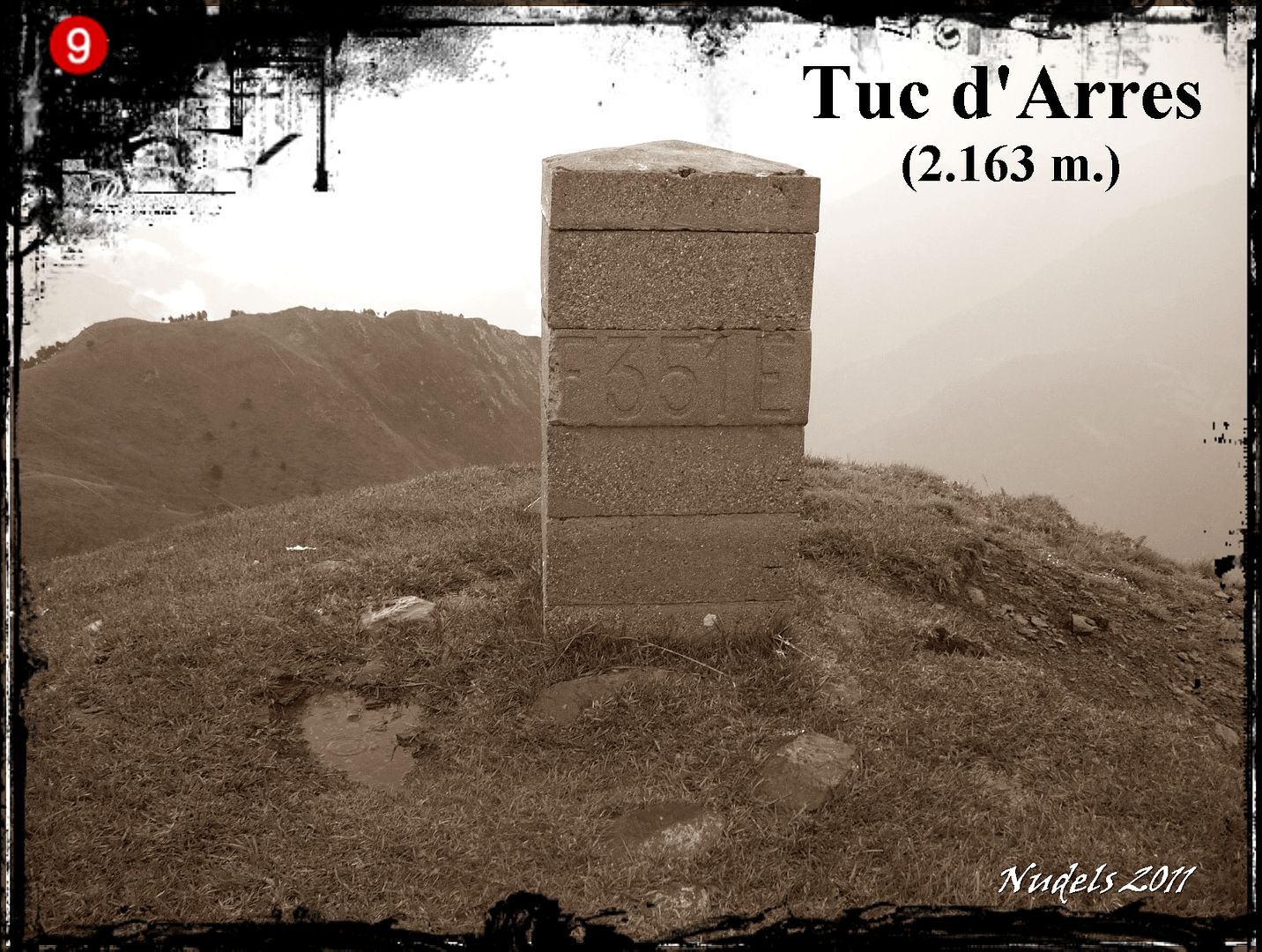
12h37: Y unos minutos más tarde a la muga 351 y a lo más alto del Tuc d'Arres (2.163 m.).
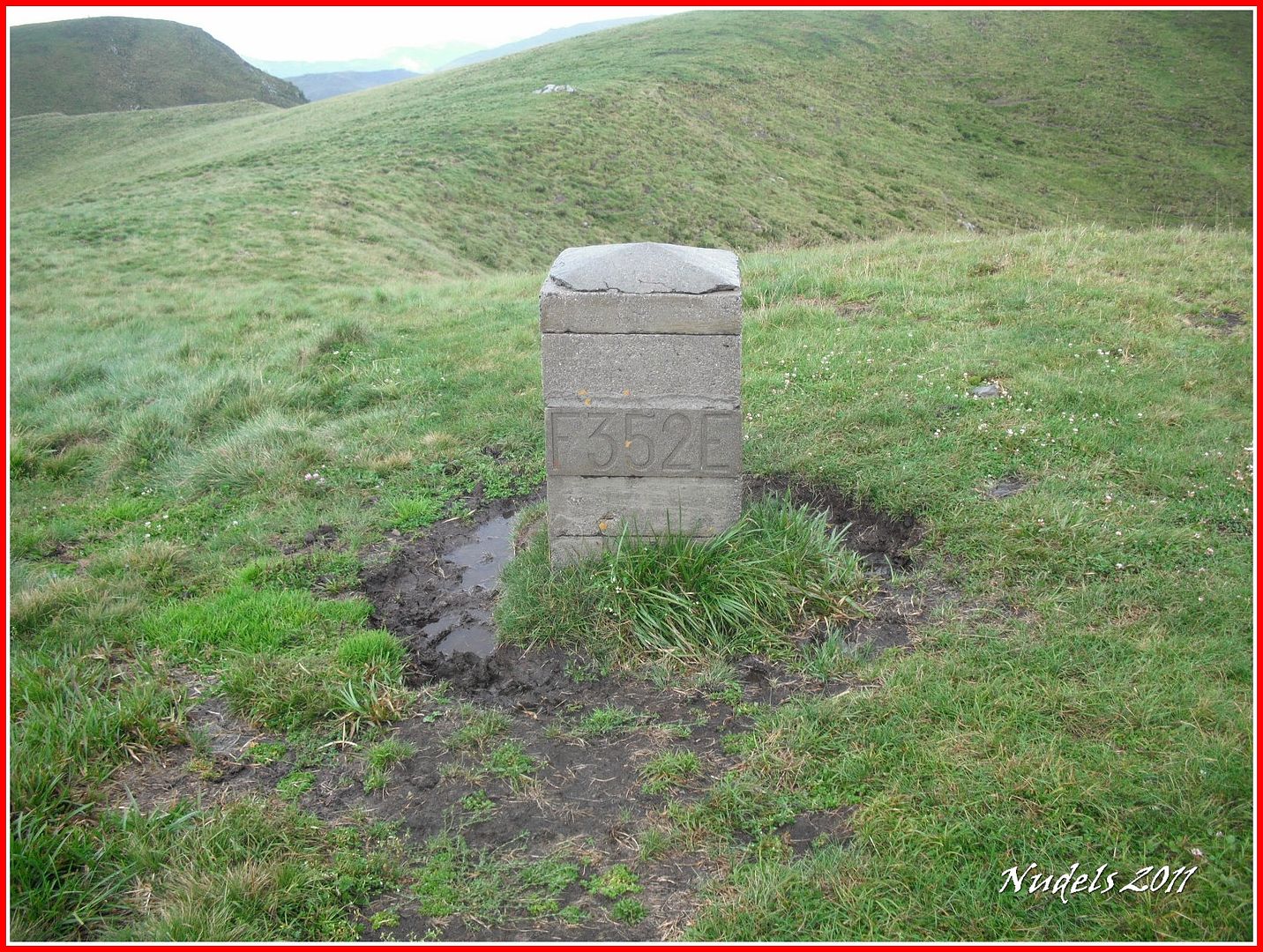
12h51: Desciendo y llego a la muga 352.
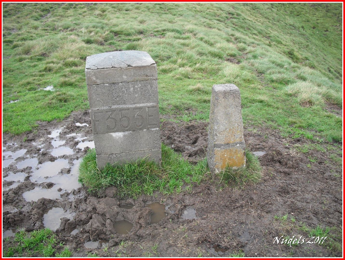
12h58: En Bossòst parece que cae también agua.

12h58: Voy deprisa marcando los WtP (watpoint) y sacando una foto así llego a la muga 353.
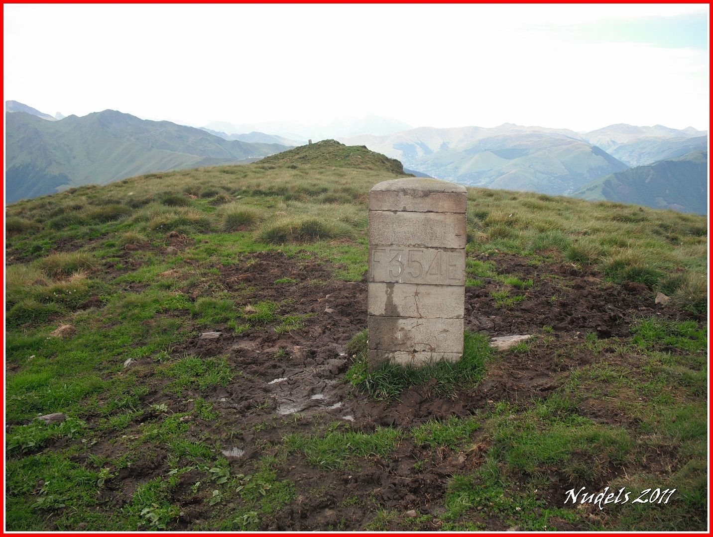
13h02: De nuevo despeja, mejor así, llego a la muga 354.
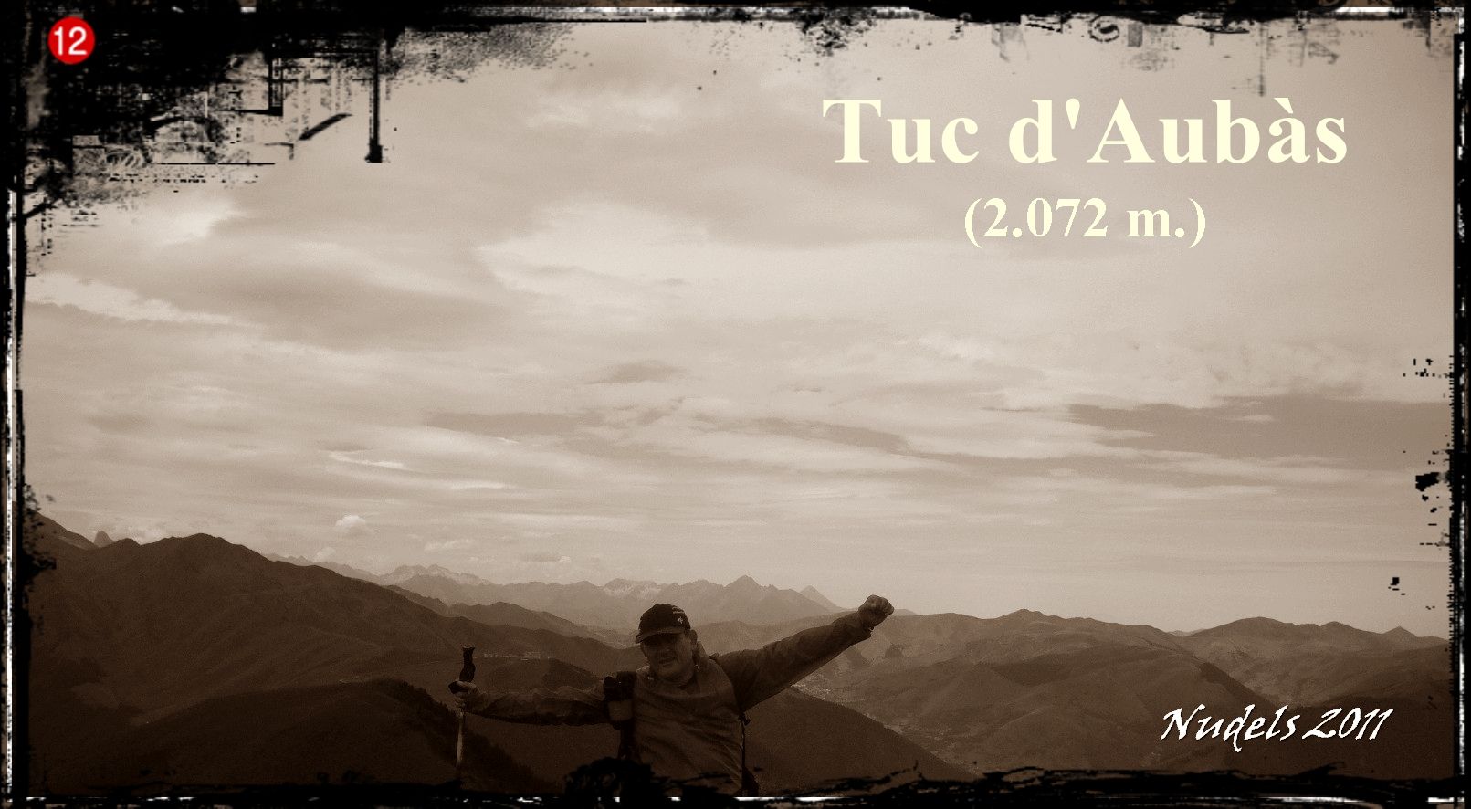
13h04: Y también a la muga 355, así que celebro...
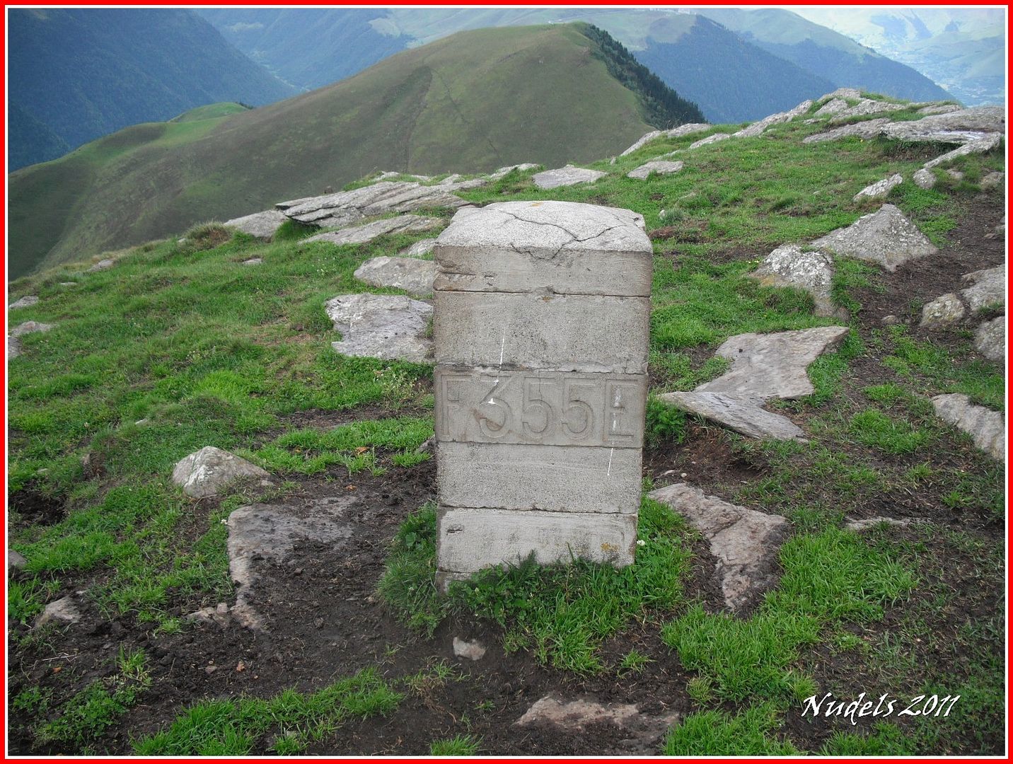
13h04: ...la última cumbre del día, porque he llegado a lo más alto del Tuc d'Aubàs (2.072 m.).
13h04: Una mirada atrás.
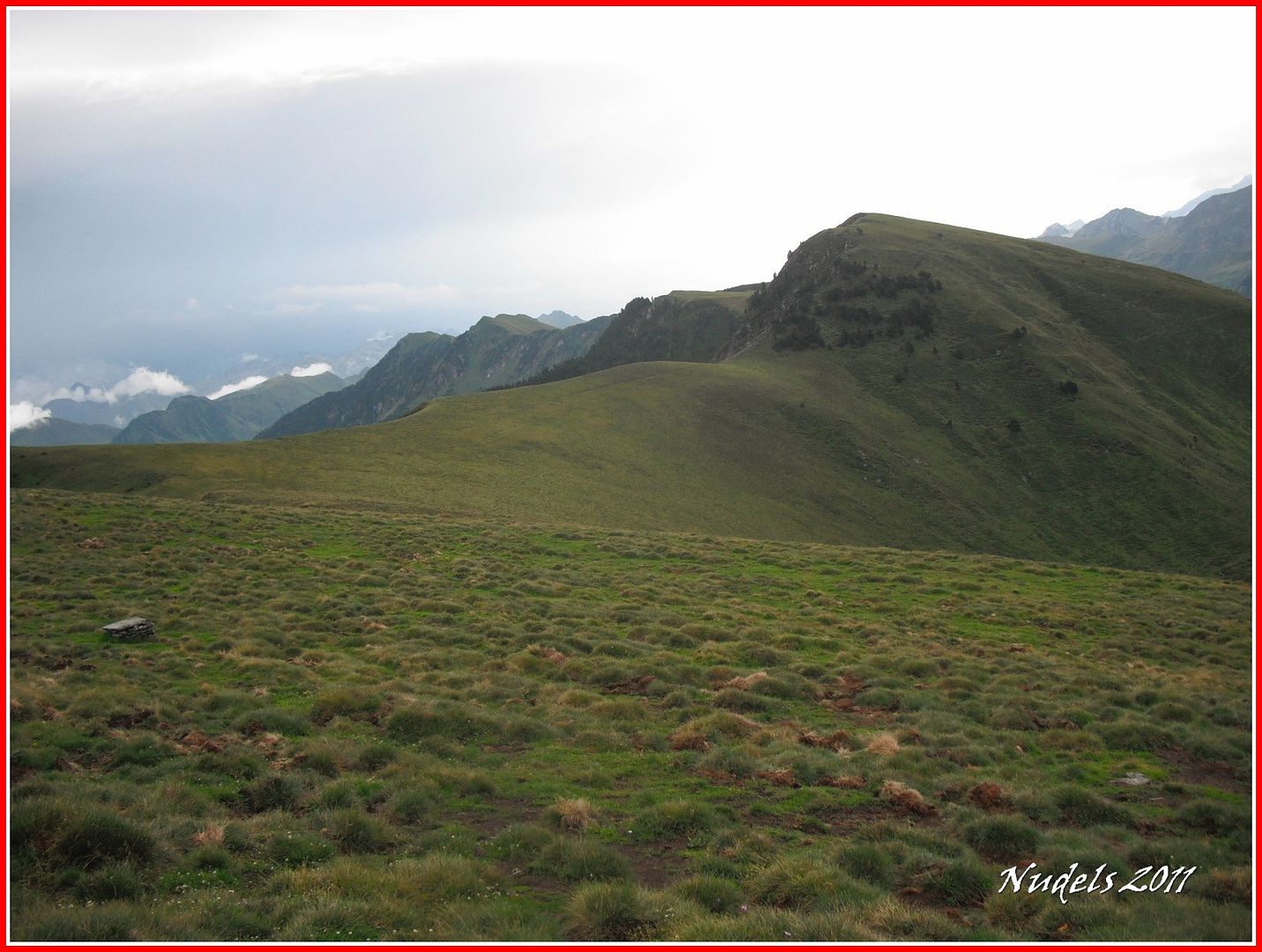
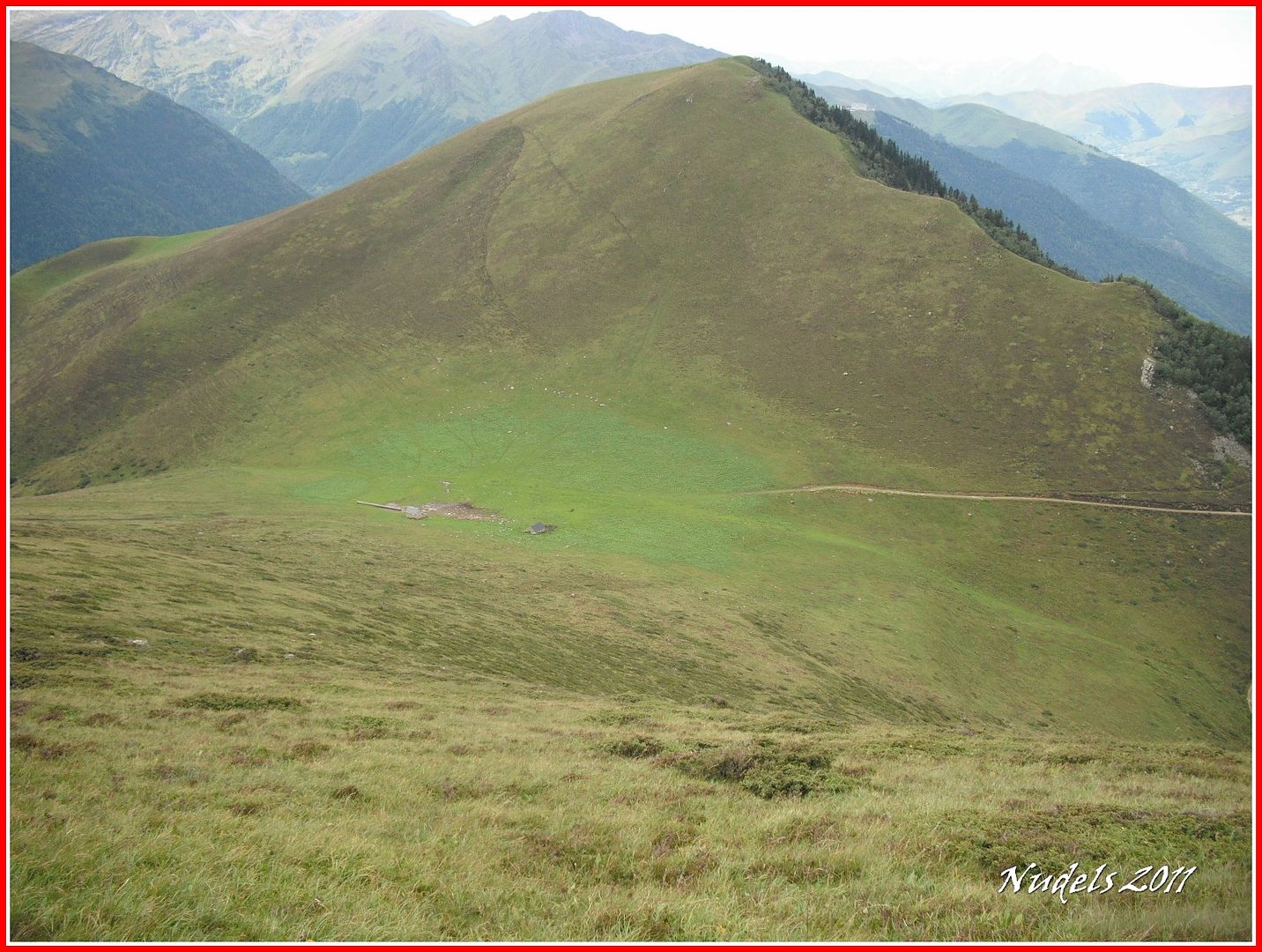
13h11: Y ahora a tirar para abajo.
13h11: Una mirada a los tres miles.
13h30: Y hacia la otra parte del cordal fronterizo.

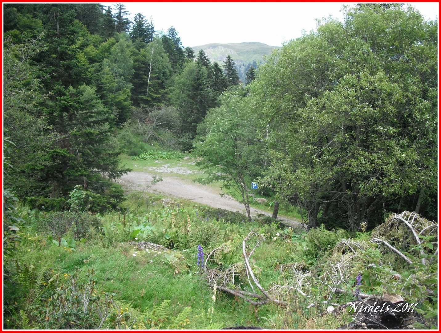
13h37: Y ya cerca del parquin finalizo este reportaje fotográfico.
Datos obtenidos de MapSource, falta el tramo final por pérdida de señal el recorrido total debe de superar los 14 km.