DESCRIPCIÓN: Una actividad convertida ya en "una clásica" recorriendo por el cordal fronterizo que desde luego aconsejo por su fácil progresión, relativa dureza y su gran belleza. Además si se anda al tanto se pueden coronar hasta ocho montañas. Es mi deseo que el exceso fotográfico que no canse a mi querid@ letor/a...
OBSERVACIONES Y CURIOSIDADES:
Telefonía móvil: Con cobertura Movistar escasa o nula en Francias y relativa o buena en el cordal fronterizo.
Fotografía: Instantáneas capturadas con una cámara digital .
DATOS TÉCNICOS: REFERENCIA:Mapa excursionista: Alpina Escala 1:25.000. Mapas digitales del ICC (Institut Cartogràfic de Catalunya).
Actividad: Senderismo cerca del Portilhon de Bossost, Catalunya(España.
Distancia recorrida: 16,32 kilómetros
Altitud min: 1.602 metros, max: 2.276 metros
Desnivel acum. subiendo: 1.142 metros, bajando: 1.142 metros
Grado de dificultad: Fácil
Tiempo: 6 horas 15 minutos
Fecha: 24 de mayo de 2012
Finaliza en el punto de partida (circular): Sí
El track
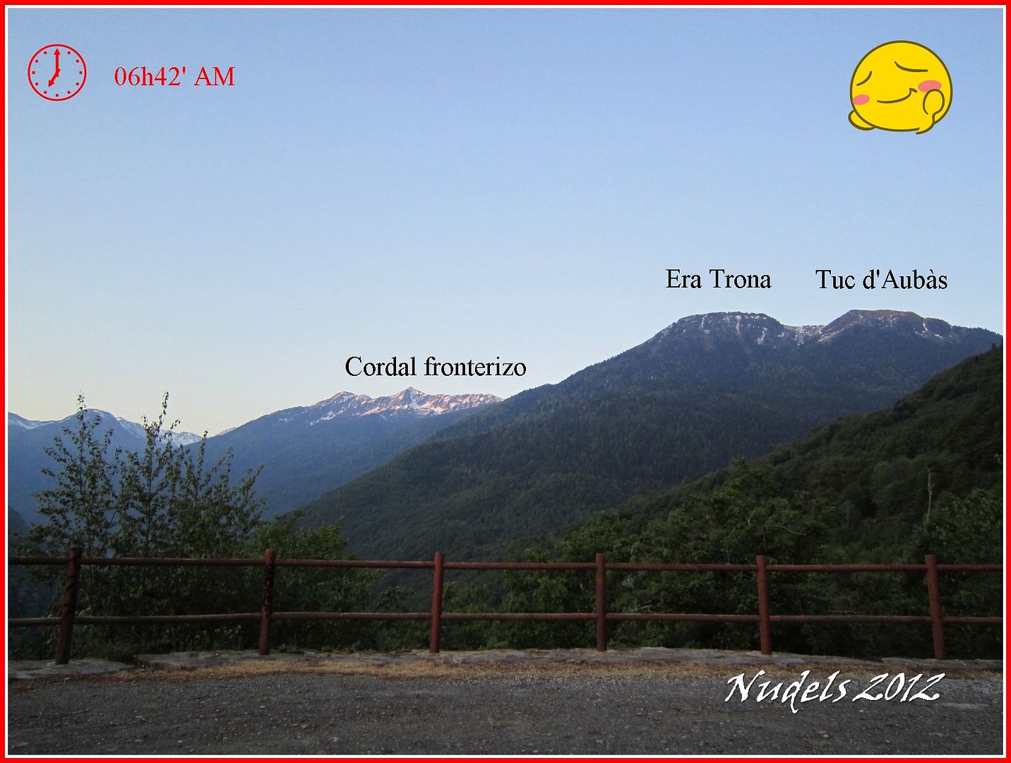
06h42: Hoy toca madrugar para en el mirador de la carretera N-141 y completo mi ambicioso objetivo recorrer parte del cordal fronterizo coronando antes el Tuc de la Entecada y finalizando que se ve al principio y finalizando en el Tuc d'Aubàs para bajar hasta el parking.
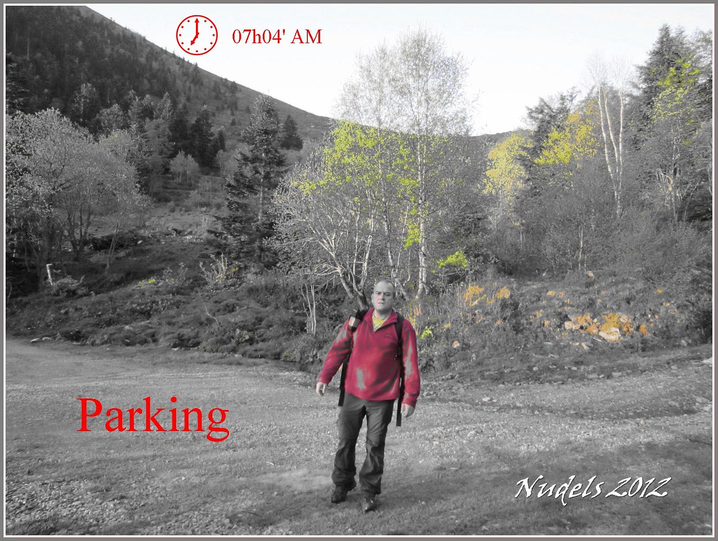
07h04: En el parking que hay antes del Còth de Baretja dejo el vehículo y me dispongo para la salida.
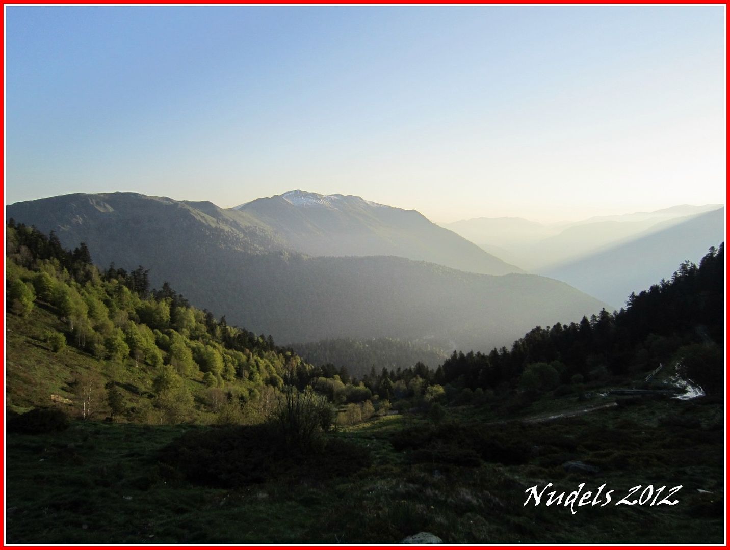
07h16: Subiendo hacia el collado hago una mirada atrás, hacia el norte.
07h17: Un narciso(Narcissus spp.) especie bulbosa que florece en primavera (Gracias Sarita y Musa por los apuntes).

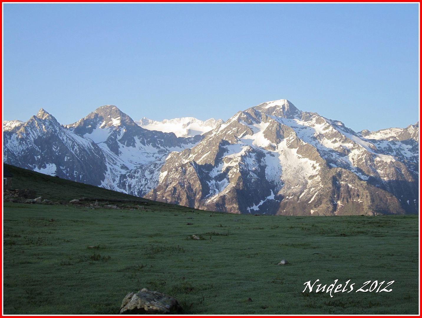
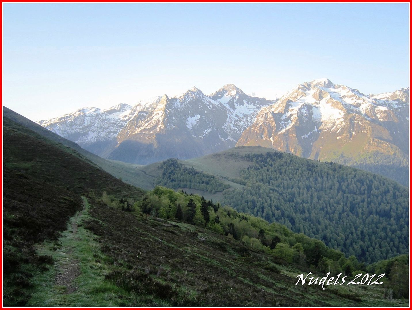
07h20: Desde el collado el espectáculo es impagable. Era Pica, La Mina, el Puerto de Benasque y el Salbaguardia, al fondo del puerto las majestuosas Maladetas.
07h20: Buafff, y aquí ni te cuento no me cansaré de contemplarlos el Boum, Maupás, Crabioules, Lèzat...

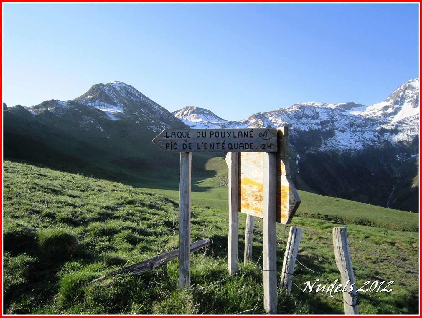
07h21: Bueno desde el Còth de Baretja a mi derecha, Oeste el Tuc deth Plan dera Serra (1.978 m.).
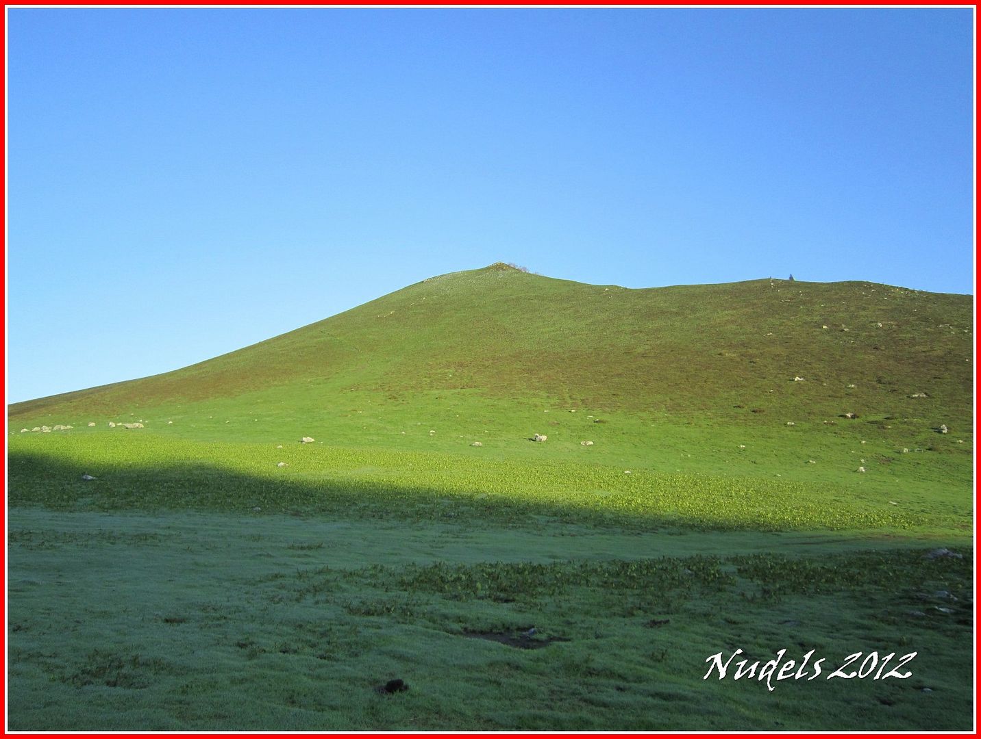
07h21: Y hacia Oriente el Tuc d'Aubas (2.072 m.)por ahí regresaré después de la circular.
07h25: Tengo que pisar tierra francesa así que lo primero es llegar a la frontera y buscar la muga 356.

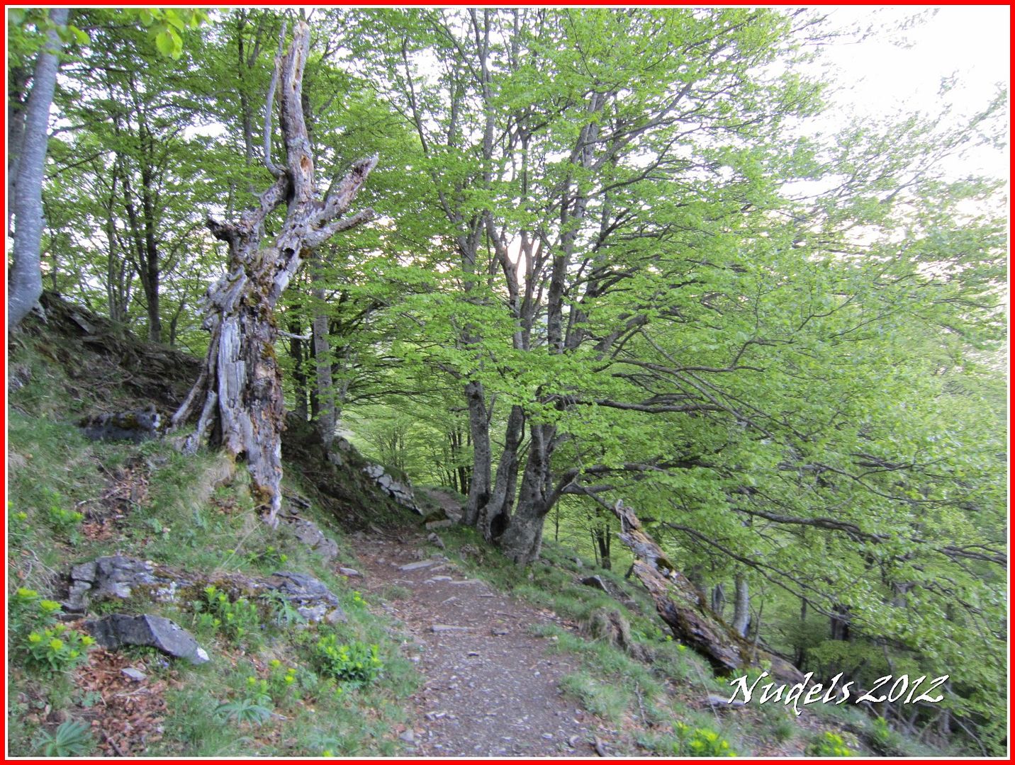
07h27: Un bonito descenso por el camino francés PR19 hasta la zona de Campsaure.
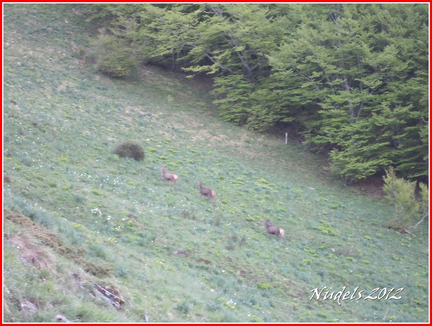
07h38: He visto a muchos pero a los únicos que he podido capturar con la cámara son estos, tres ciervos rojos (Cervus elaphus).
07h41: Voy en solitario disfrutando del entorno.
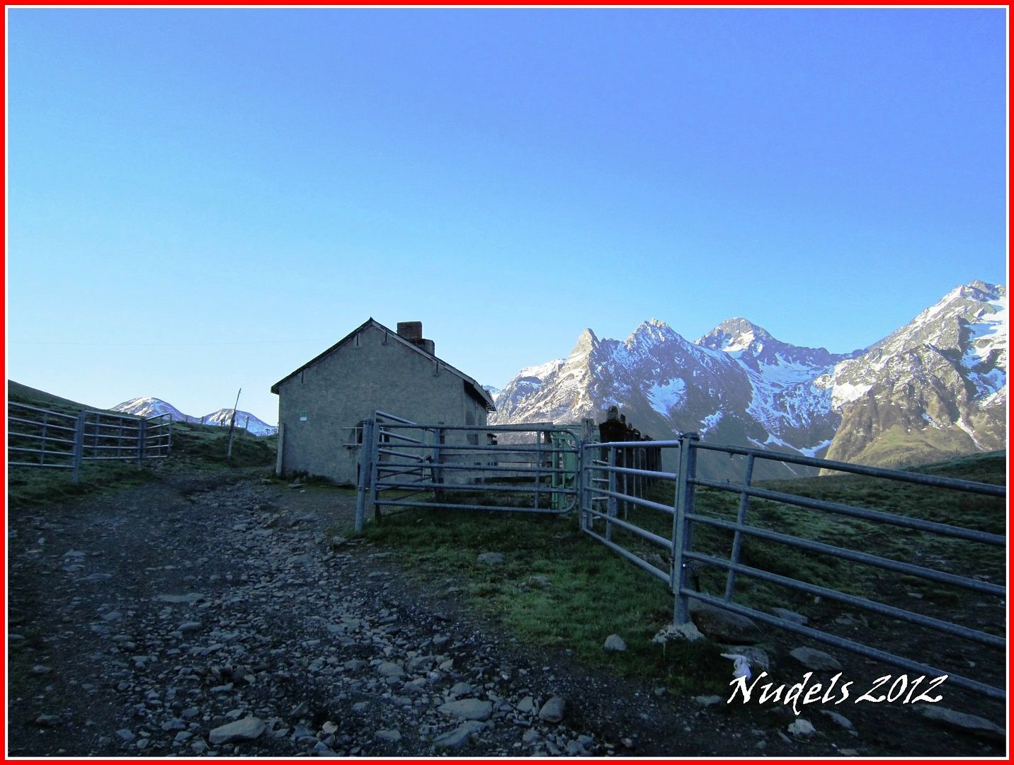
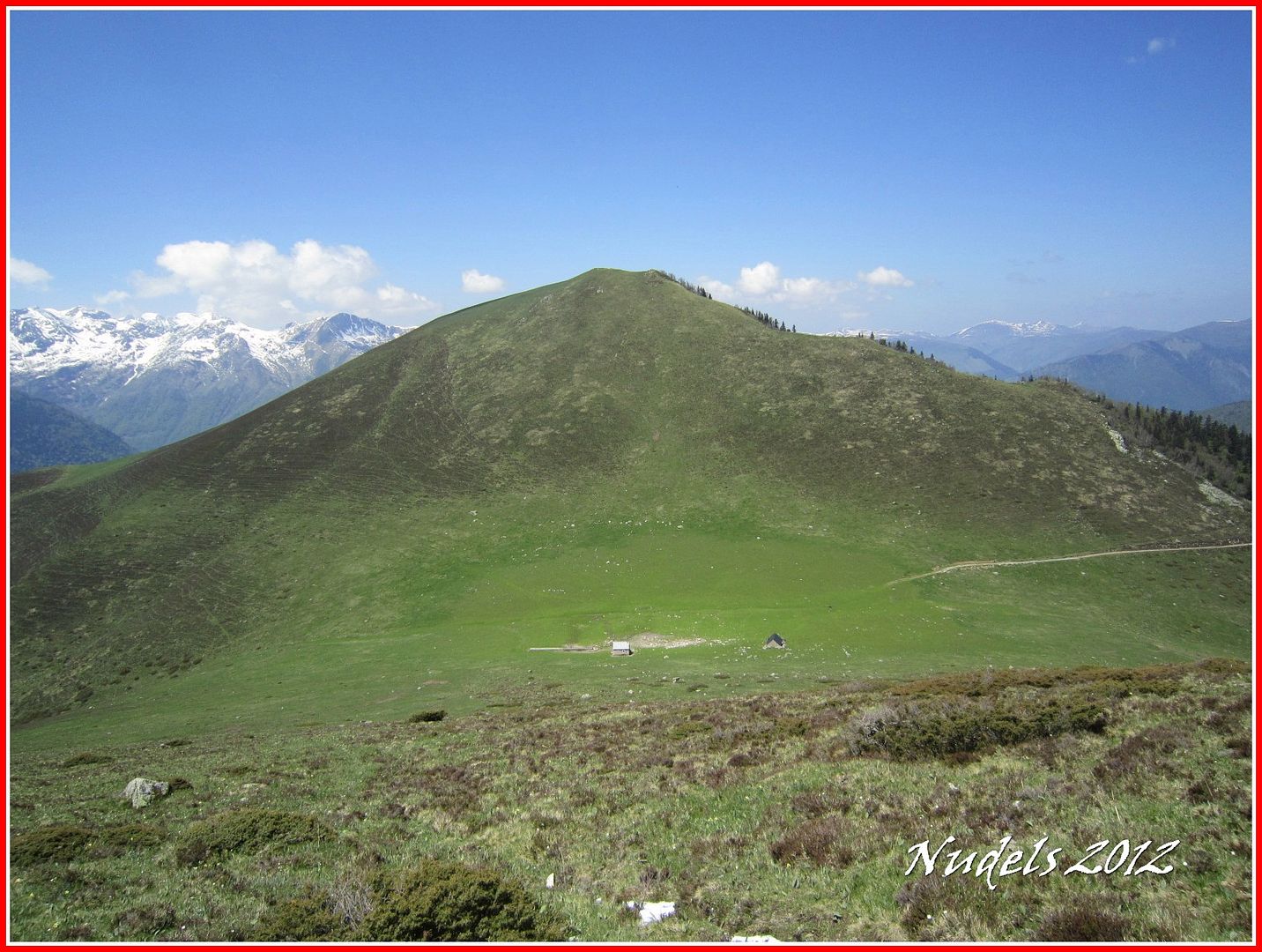
07h56: Llego a la cabaña pastoril de Campsaure.
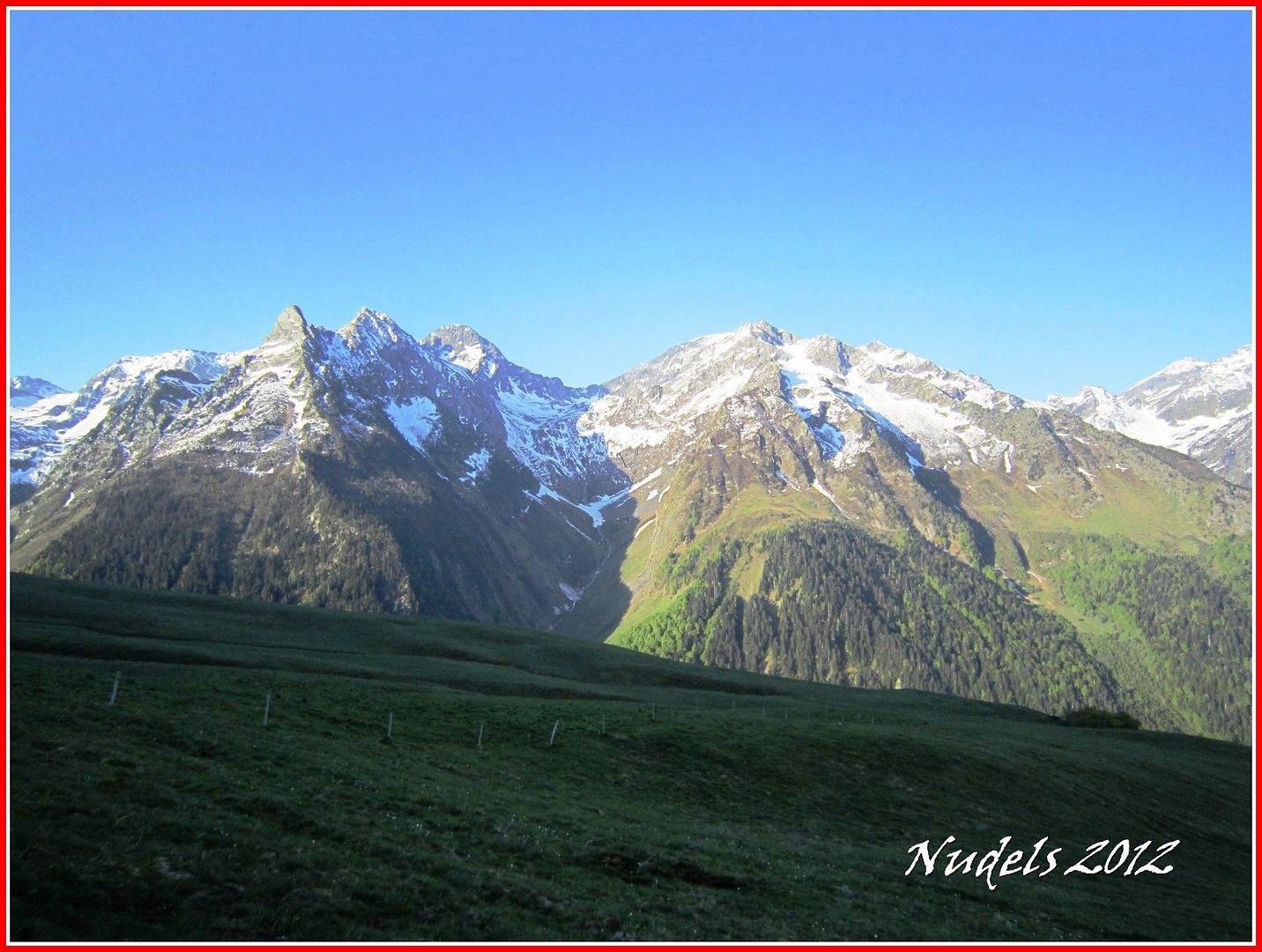
08h05: Vistas la ascensión al Puerto de Benasque.
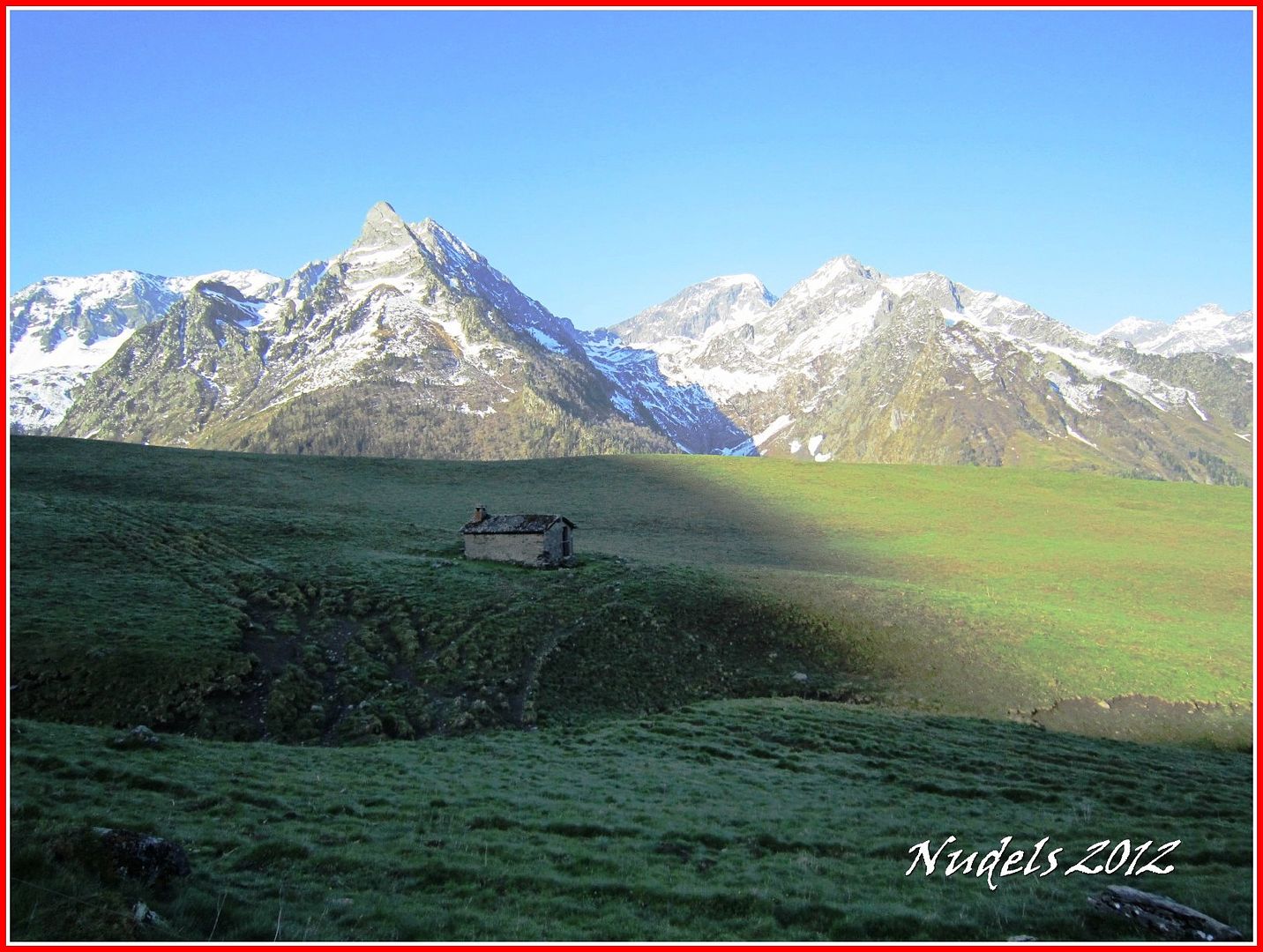
08h16: Después de andar por una pista forestal relativamente llana llego a la altura de la cabaña pastoril de Romingau.
08h21: Sigo adelante con otras montañas conocidas, Pic de la Rua, Motjoia, Escaletta...

08h24: Tengo que girar a "gauche" creo que se escribe así en francés.
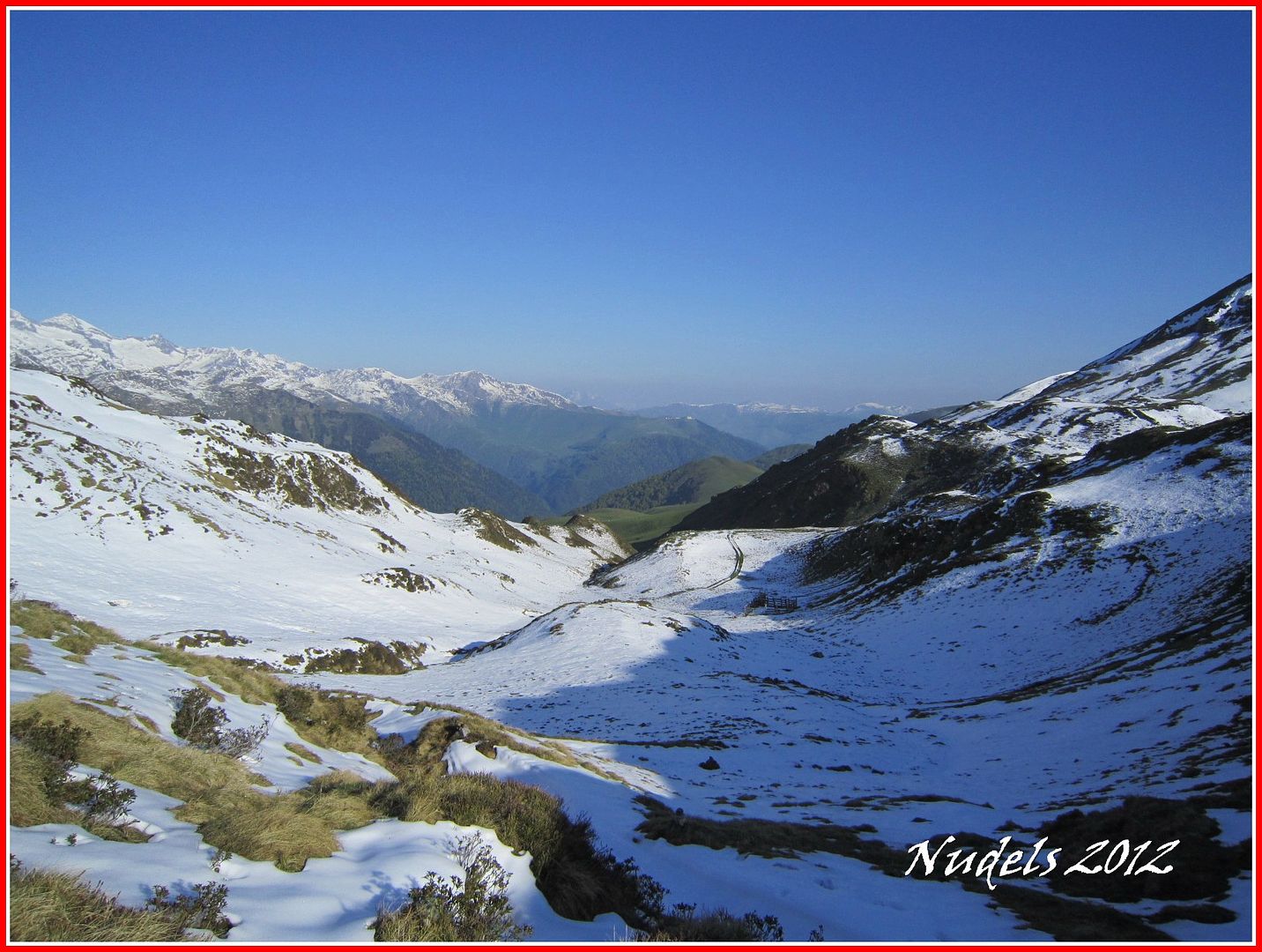
08h39: A partir de aquí toca pisar la nieve.

08h46: Una mirada atrás.
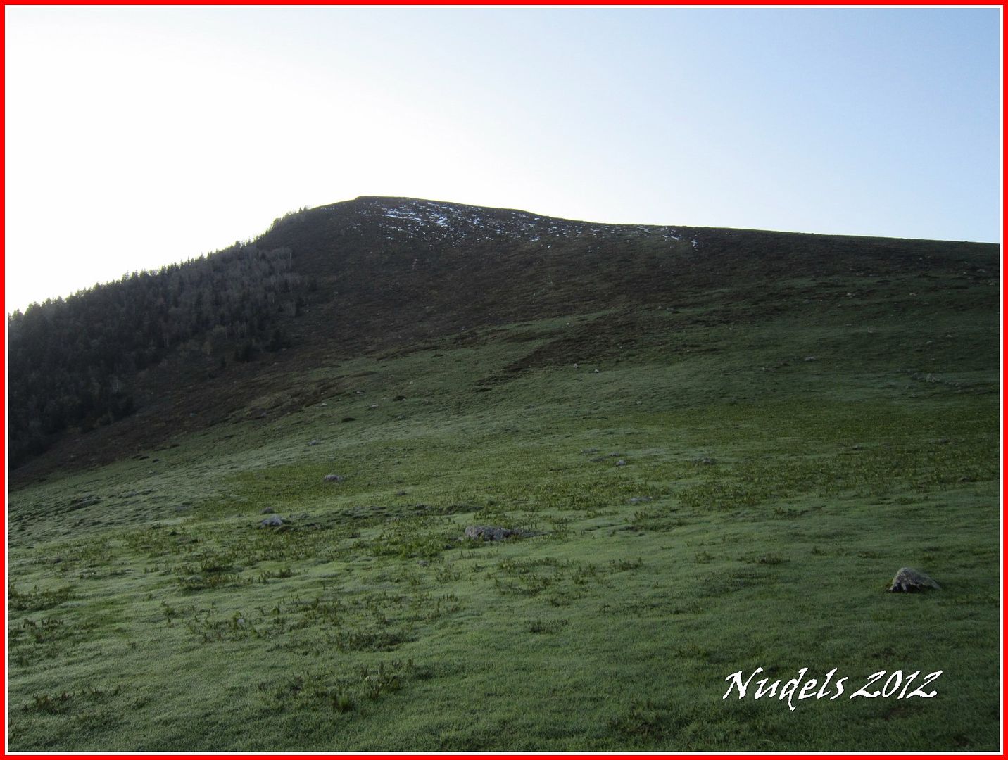
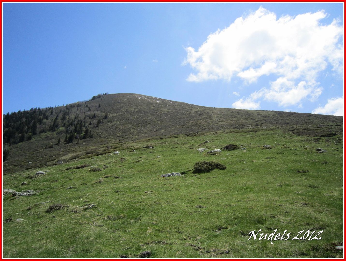
08h51: Ya tengo mi primer objetivo a la vista, pero para llegar allí tendré que sudar un poco.
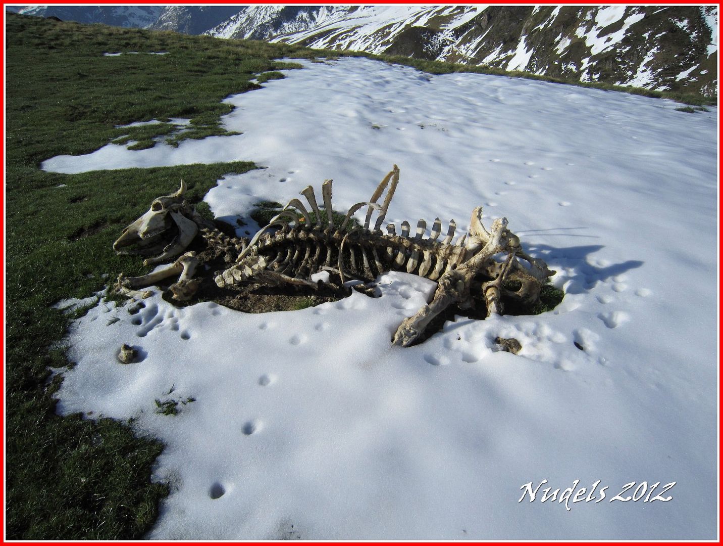
09h05: En diciembre de 2011 ya pasé por aquí recuerdo haber visto este esqueleto.
09h19: Otra mirada atrás ahora con más altura de mira.
09h30:
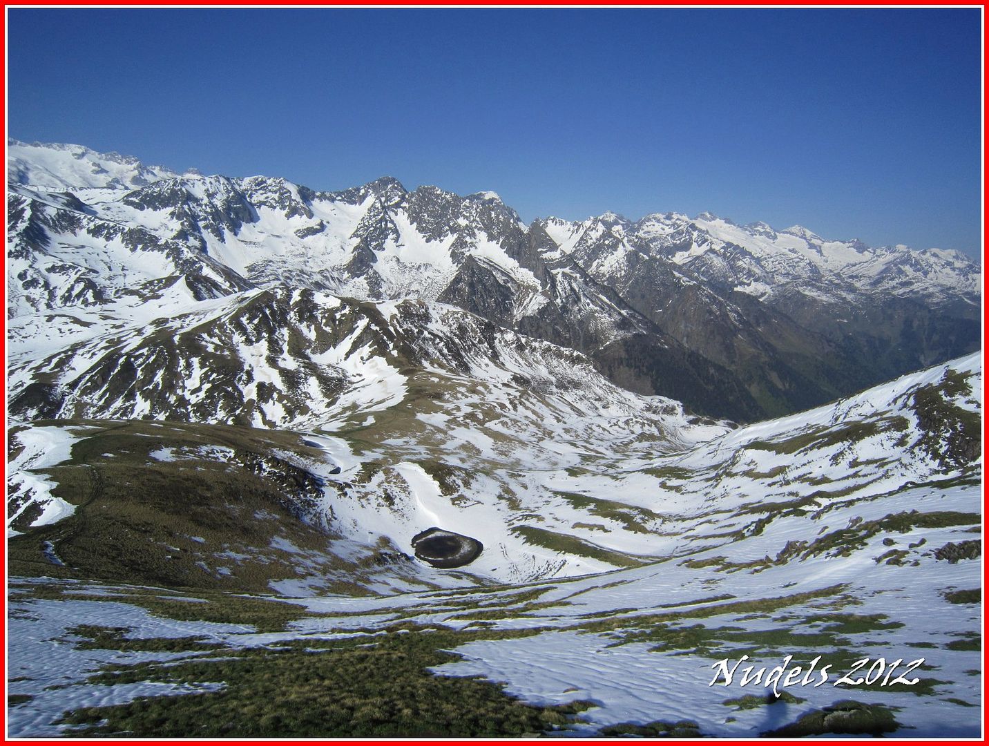
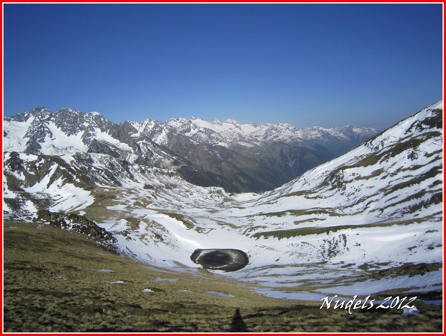
09h34: Al fondo Era Entecada solo me falta recorrer este pasillo.
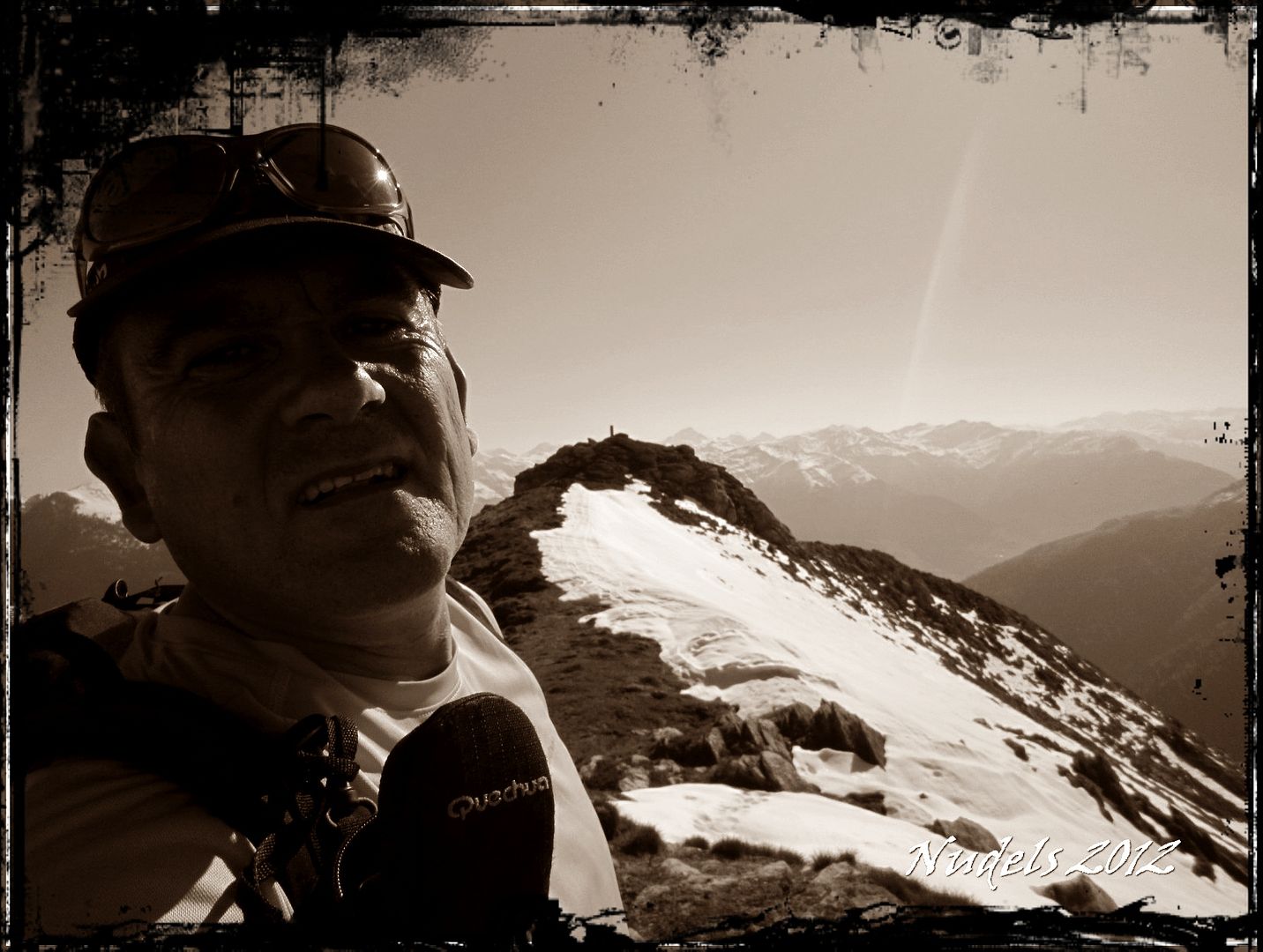
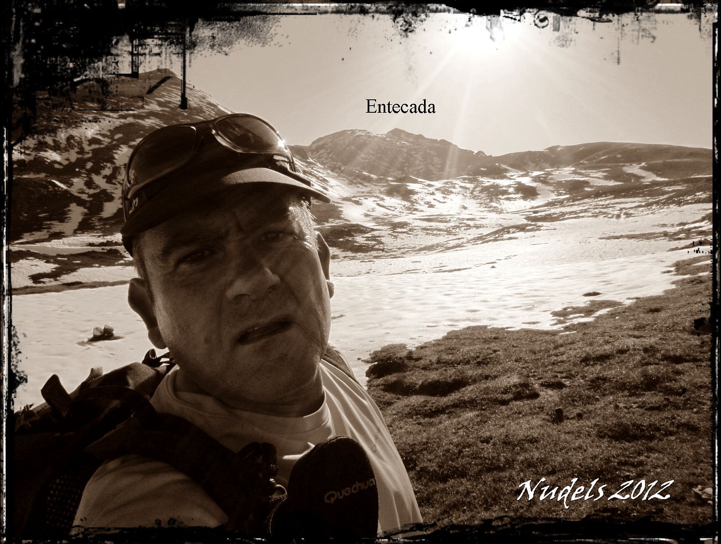
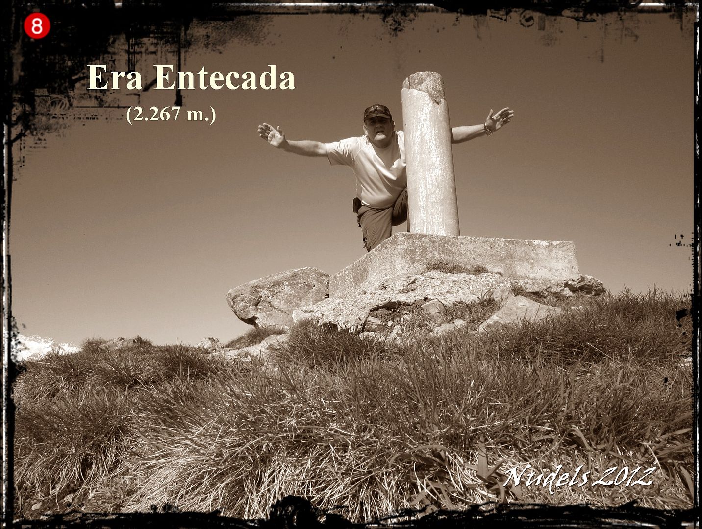
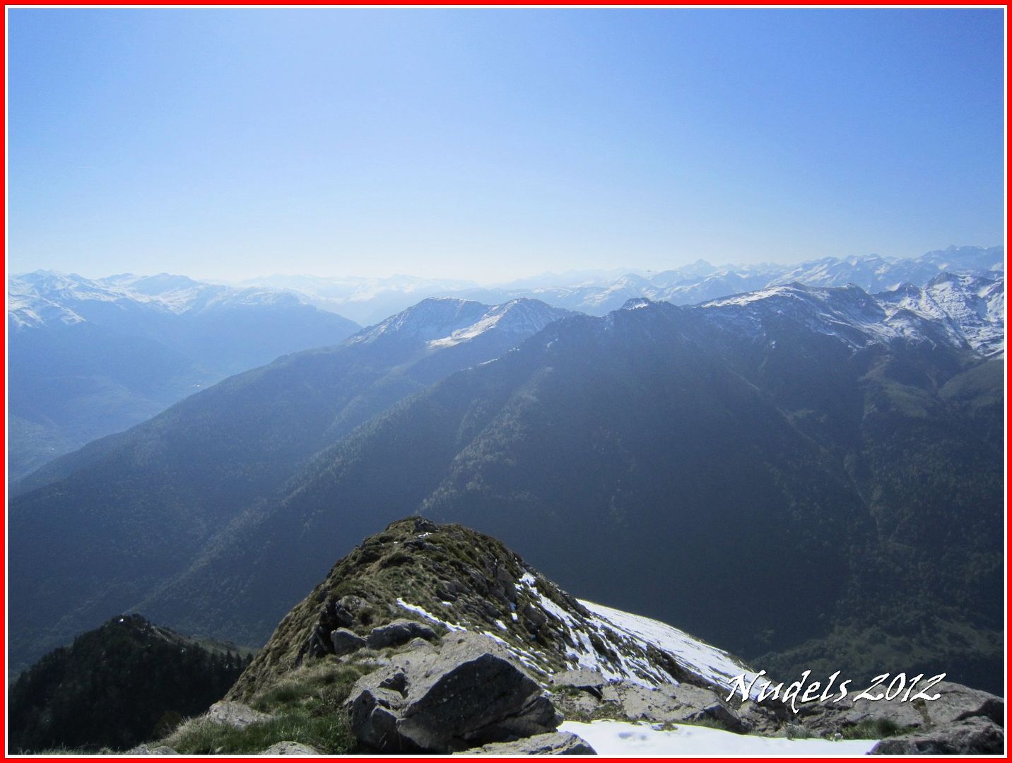
09h39: Llego solo no hay aplausos pero me da lo mismo porque estoy en lo más alto de Era Entecada (2-267 m.).
09h39: Vistas hacia la Val d'Aran.

09h41: Vistas hacia la Val d'Aran.

09h41: Vistas hacia la Val d'Aran.

09h41: El Montlude y el Letassi.
09h41: Vistas haci Artiga de Lin.
09h41:
09h41:
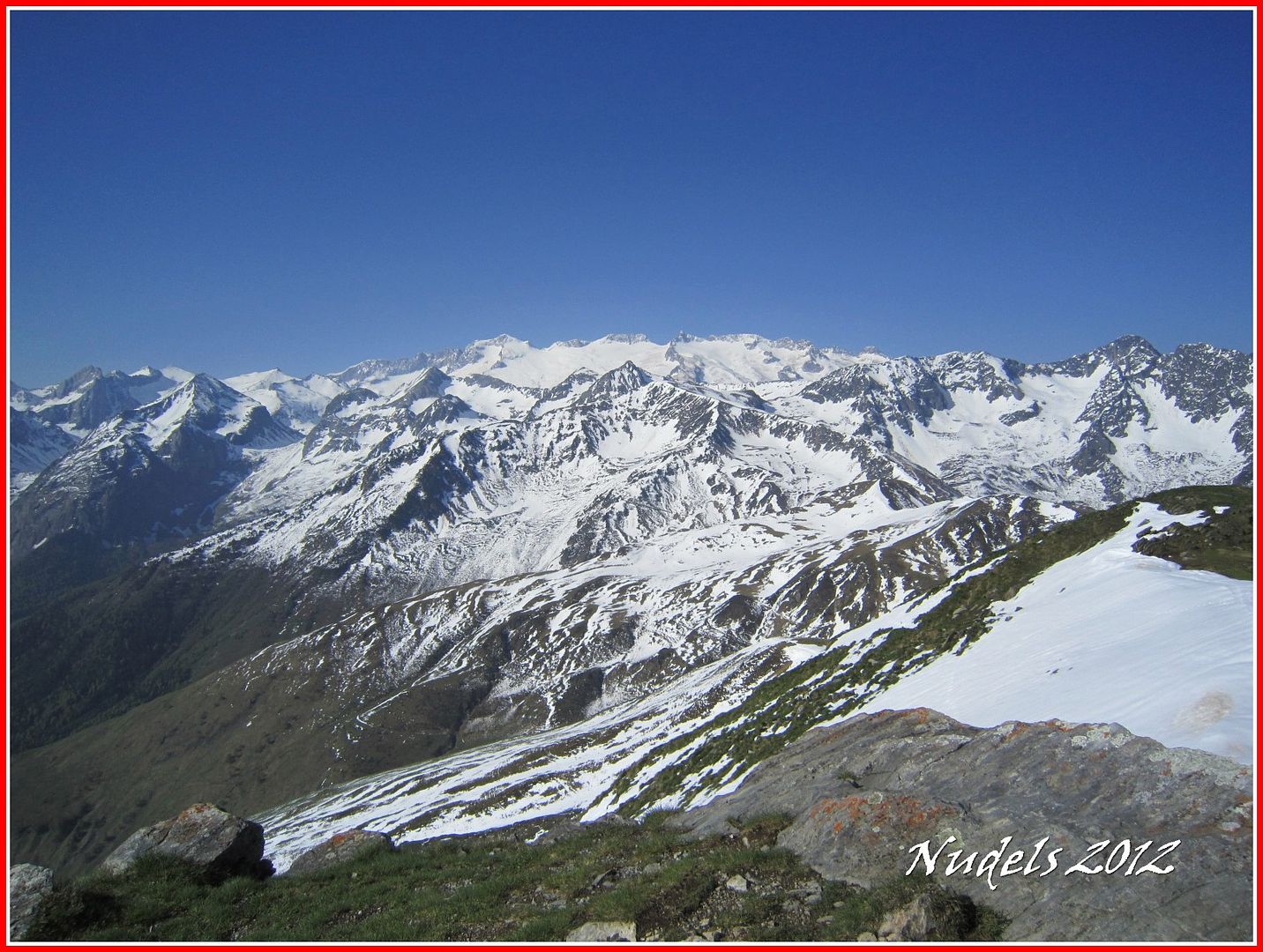
09h41: Hacia las Maladetas.
09h41:

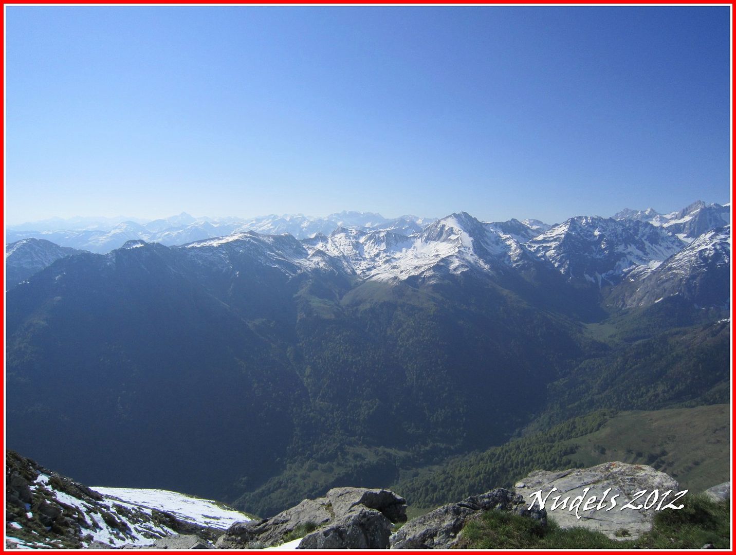
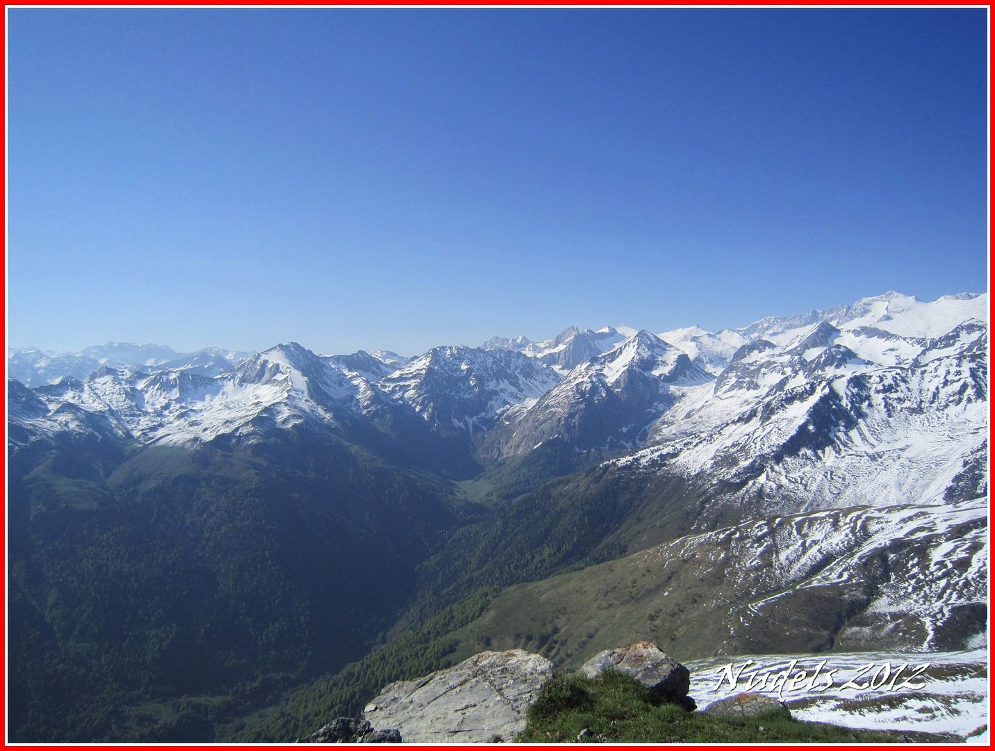
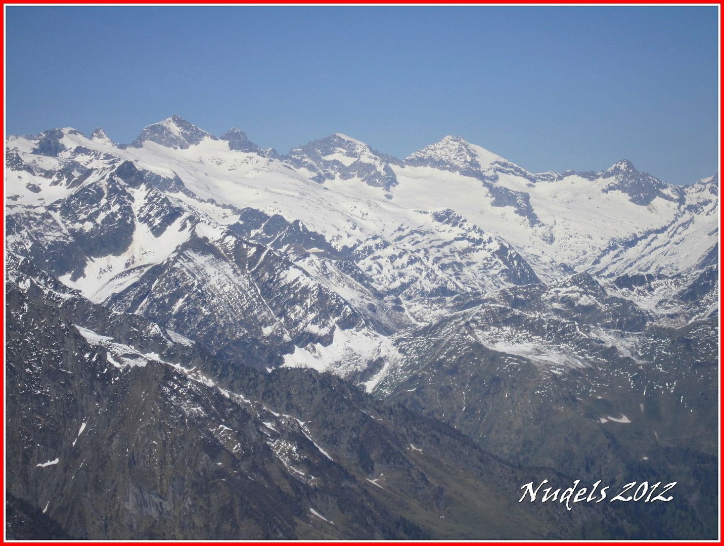
10h01: Un zoom hacia el Sur, hacia el Aneto y las Maladetas.

10h01: Y otro hacia Colomèrs y el Montardo.
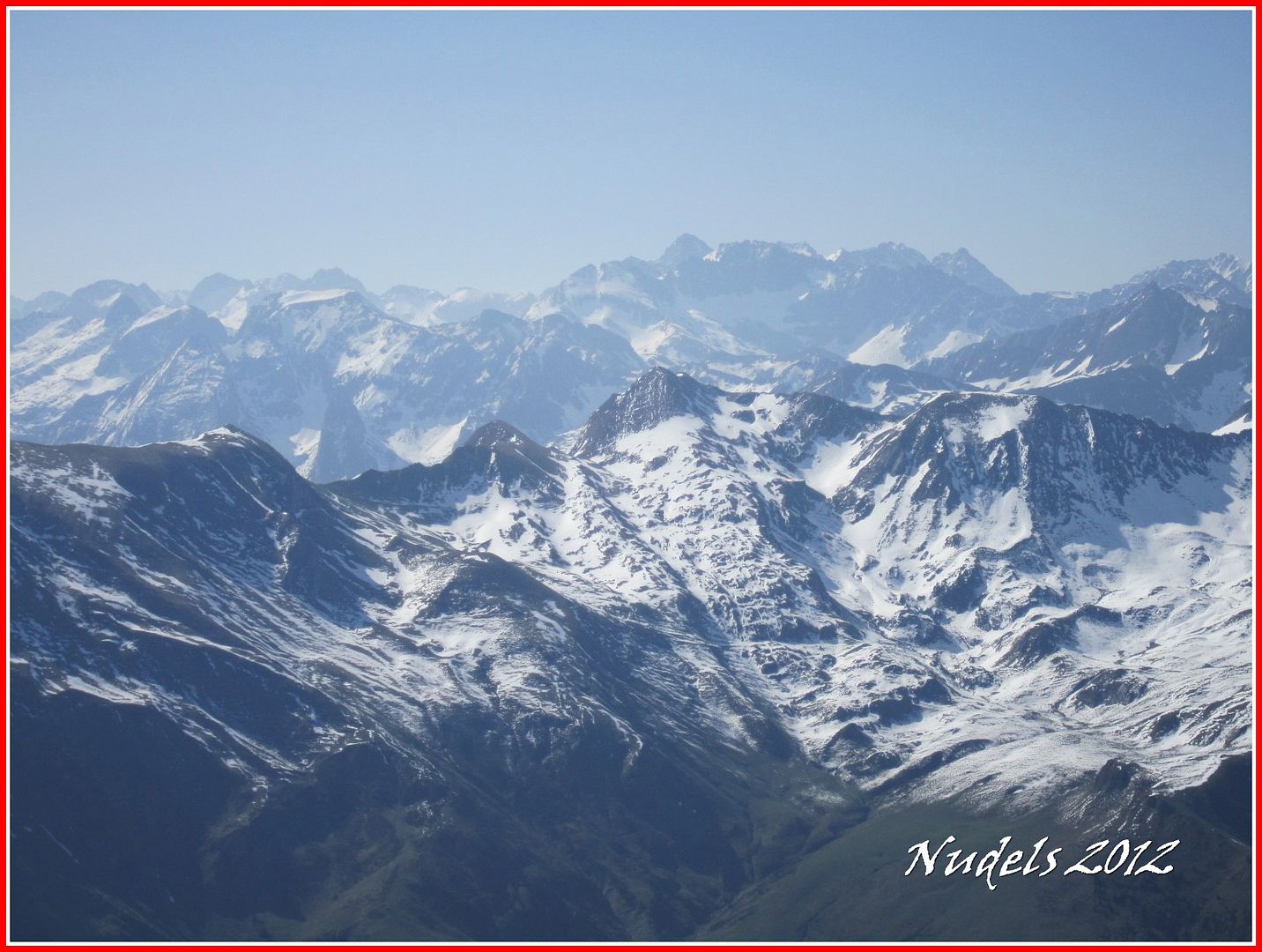
10h01: Malh des Pois o Forcanadas.
10h01: Más tresmiles.
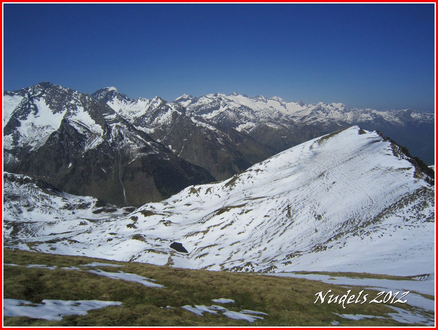
10h01: Y ahora caminaré hacia el W, (O este) por el cordal que tengo que recorrer.

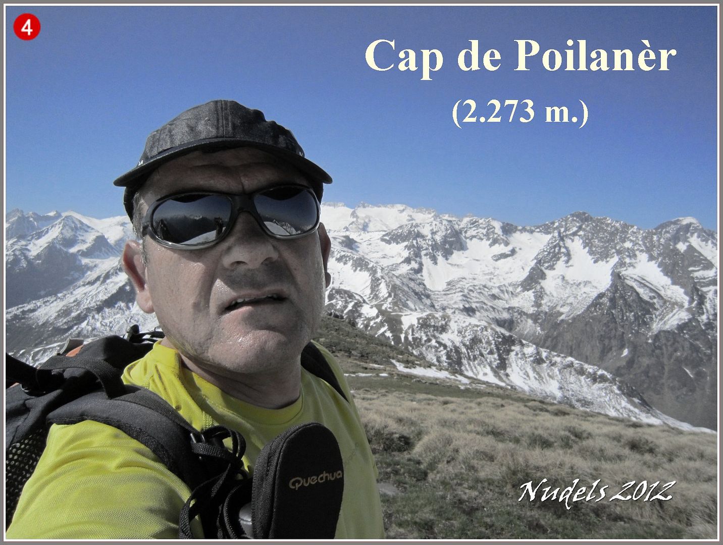
10h27: Un descenso otra subida y llego a lo más alto del Cap de Poilanèr (2.273 m.).
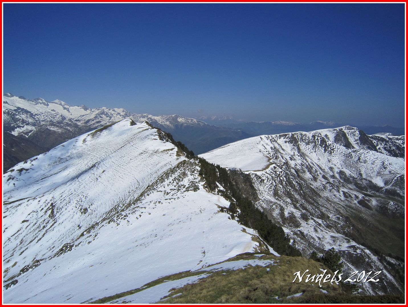
10h30: Una vista atrás con la parte recorrida.

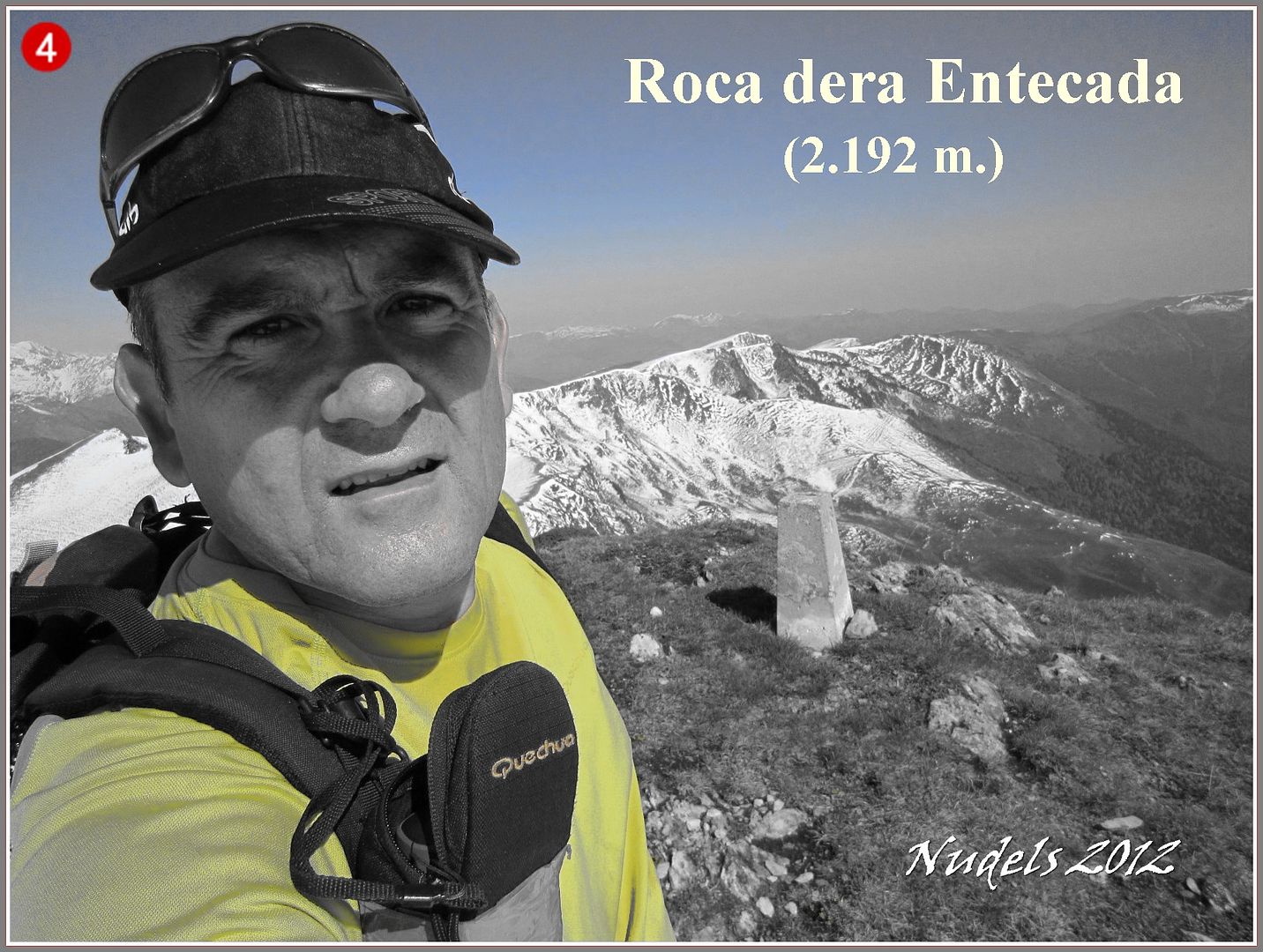
10h32: Unos minutos después llego a lo más alto de Roca dera Entecada (2.192 m.).
10h34:
10h36: Tengo que seguir...
10h54: ...una mirada atrás.
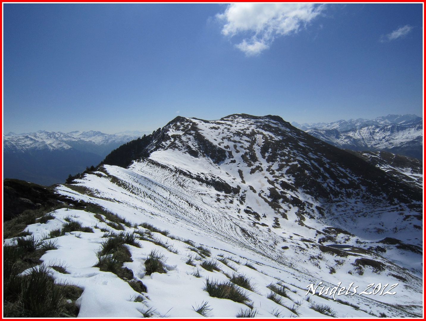
10h54: Y llego a lo más alto del Tuc de Poilanèr (2.221 m.).
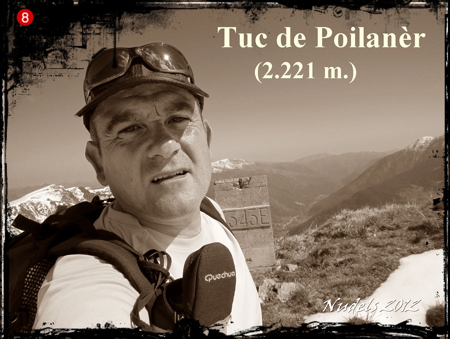
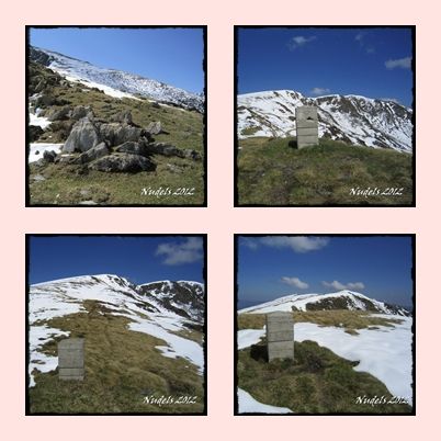
11h07: Una mirada atrás, en el descenso del Tuc de Poilanèr observo la muga 344.
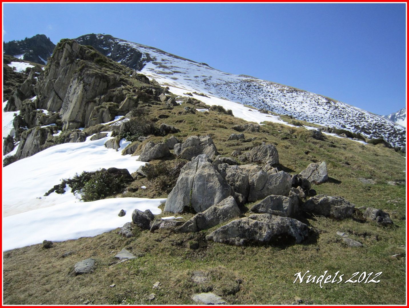
Sigo por el cordal capturando las mugas 344, 345, 346 y 347.
11h39: Y llego a lo más alto de la siguiente cima, a la cumbre del Tuc de Campsaure (2.142 m.).
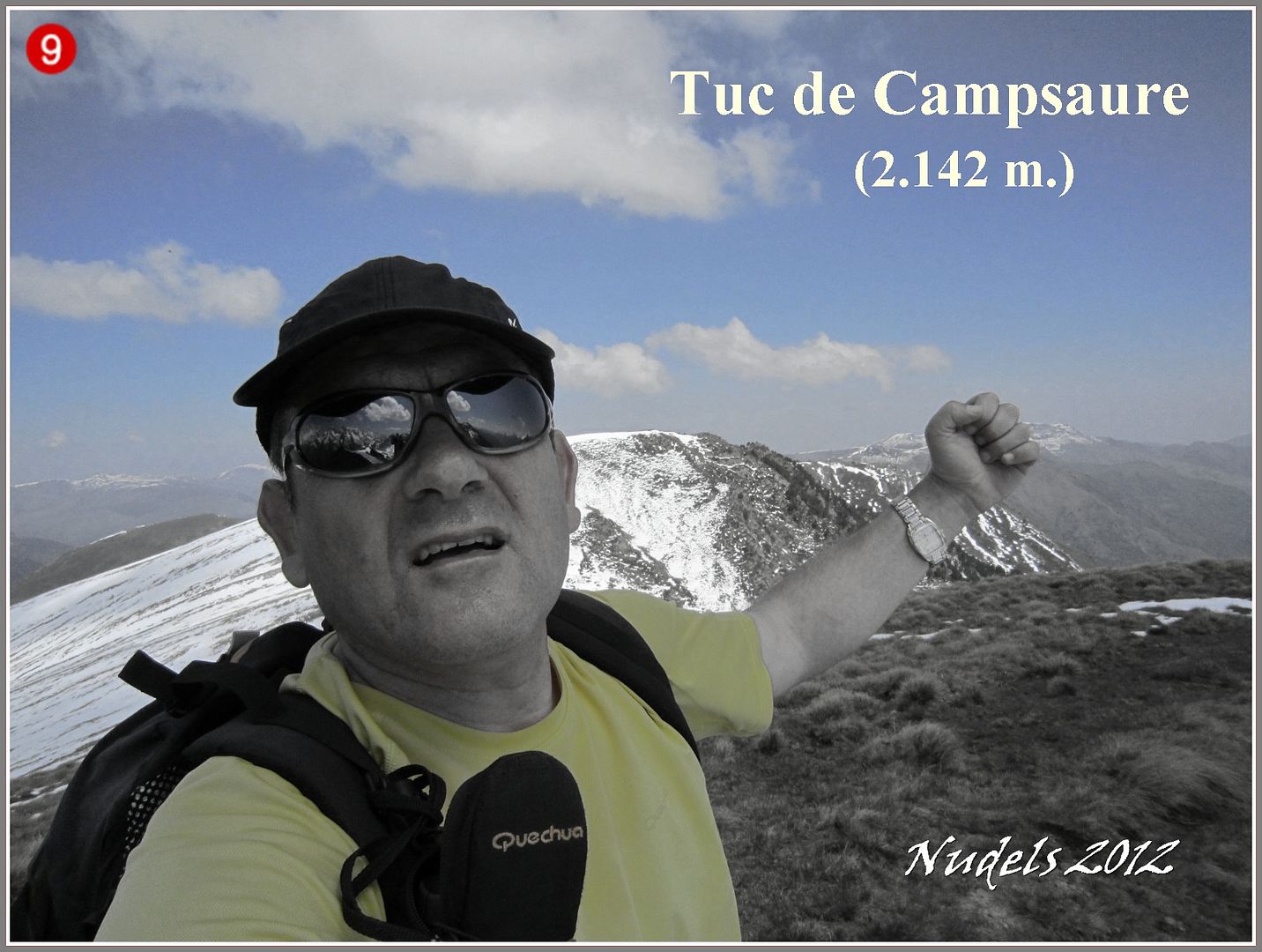
11h40: Una mirada atrás.

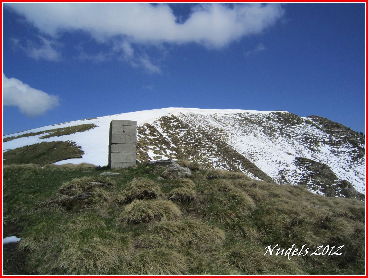
11h45: Sigo hacia la muga 348.
11h52: Y también llego a la muga 349.

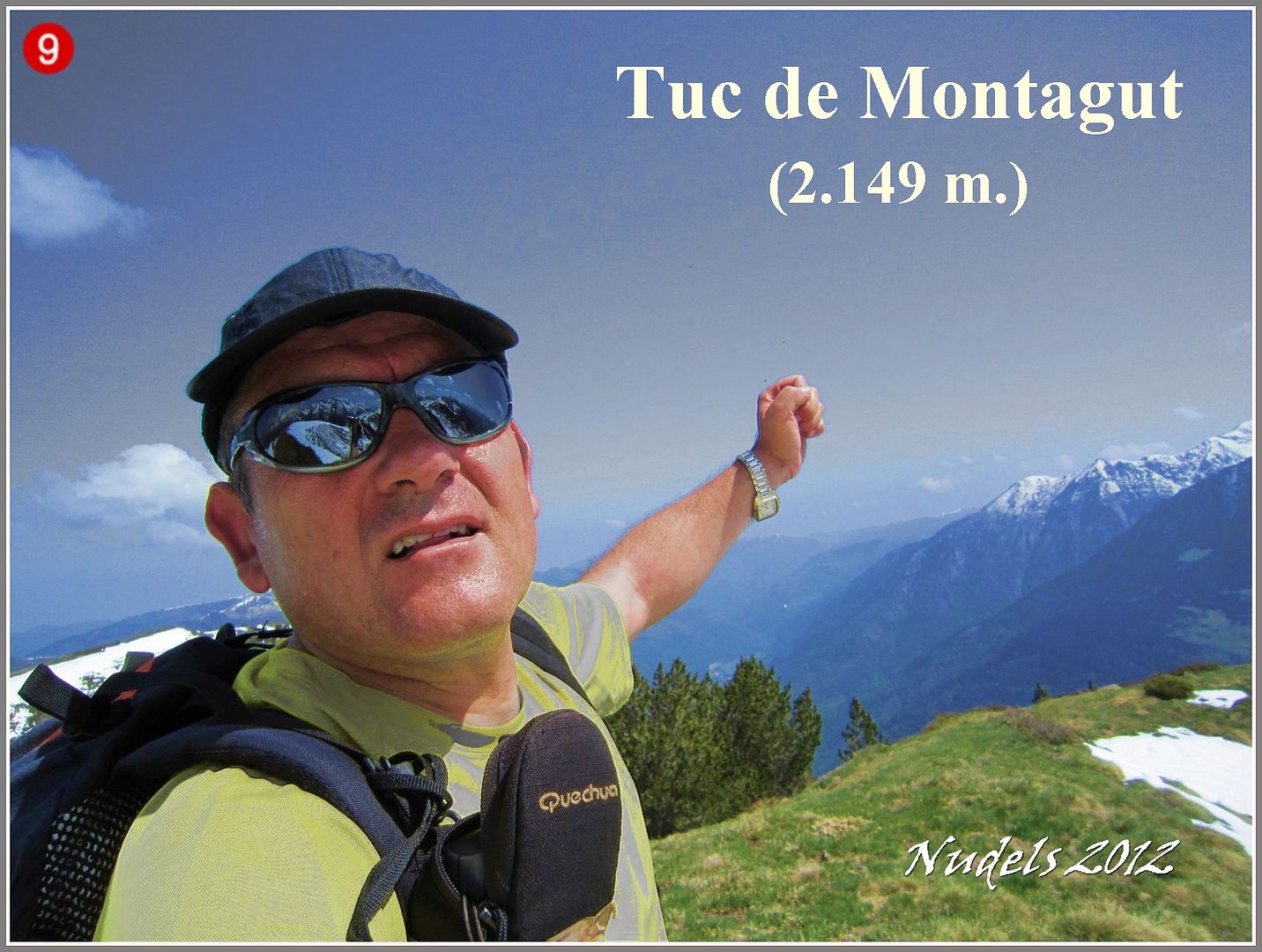
11h54: Y andando también llego a lo más alto del Tuc de Montagut (2.149 m.).
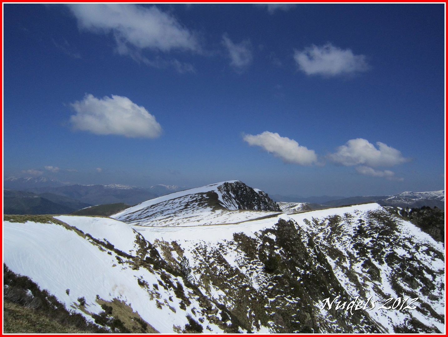
11h54: Me queda por delante un buen trecho.
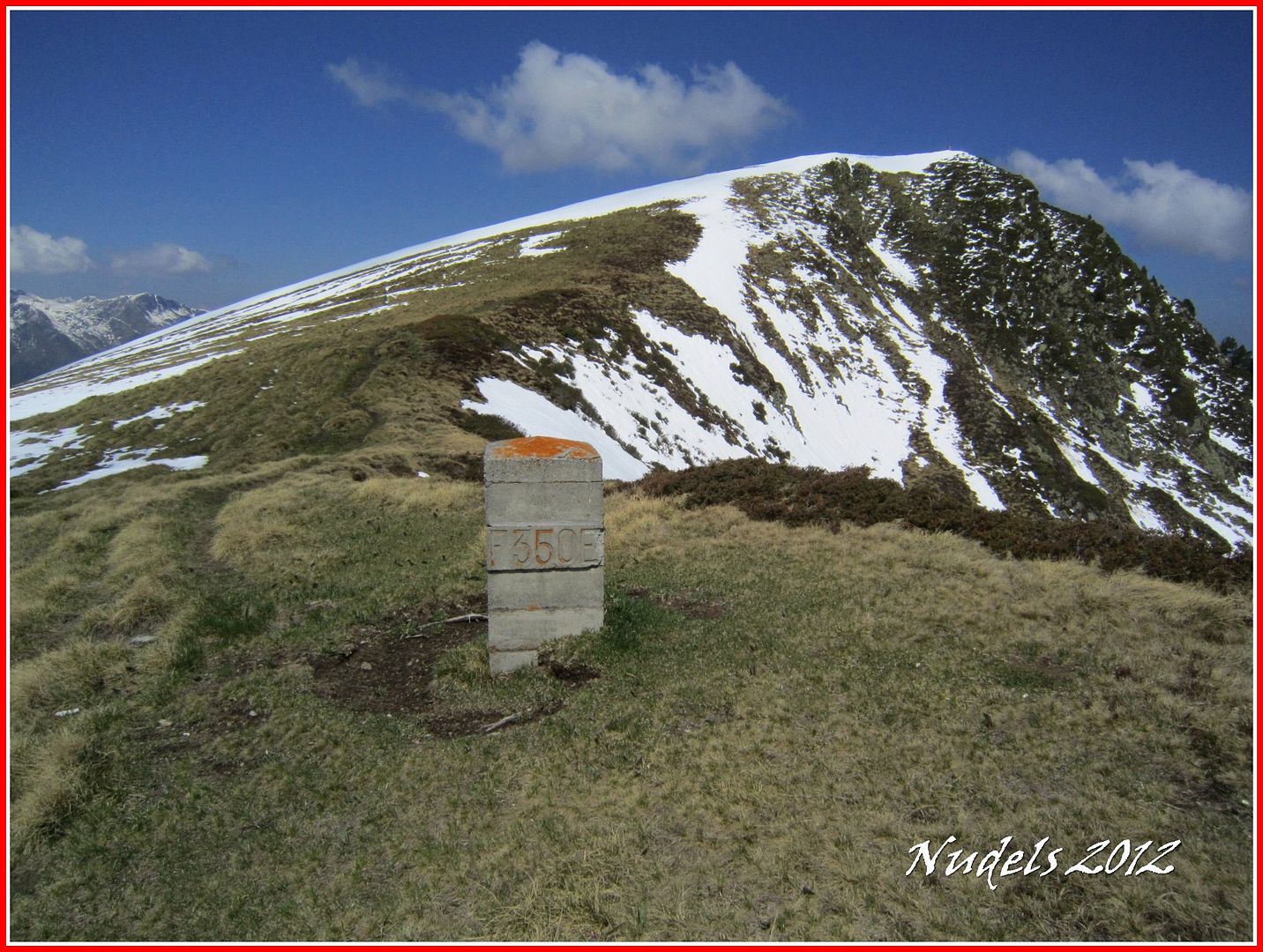
12h03: Muga 350, una fotografía y hacia la siguiente cima...
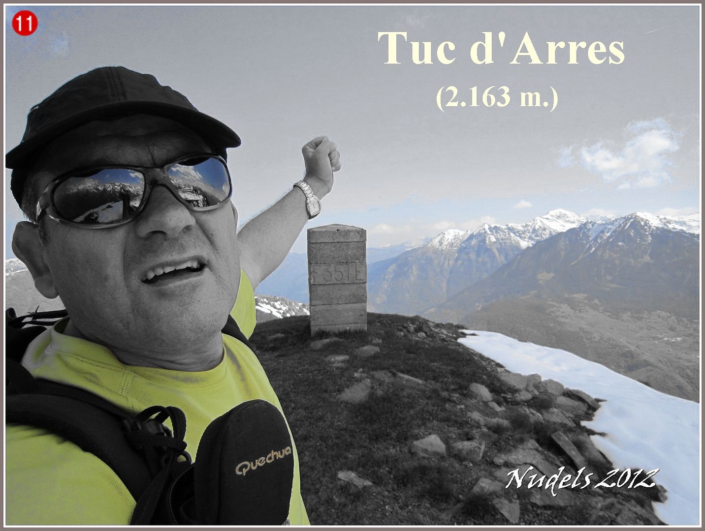
12h11: ... y así llego a lo más alto del Tuc o Pic d'ARRES (2.163 m.) donde está situada la muga 351.
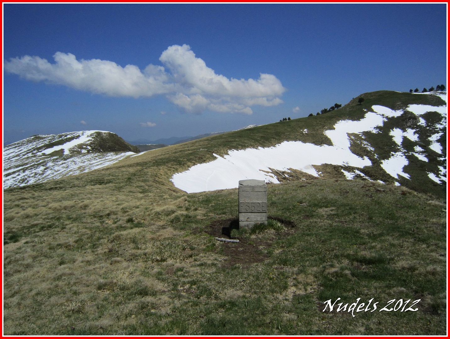
12h25: Bajo del pico y llego a la muga 352.
12h31: Un tiempo después llego a la muga 353.

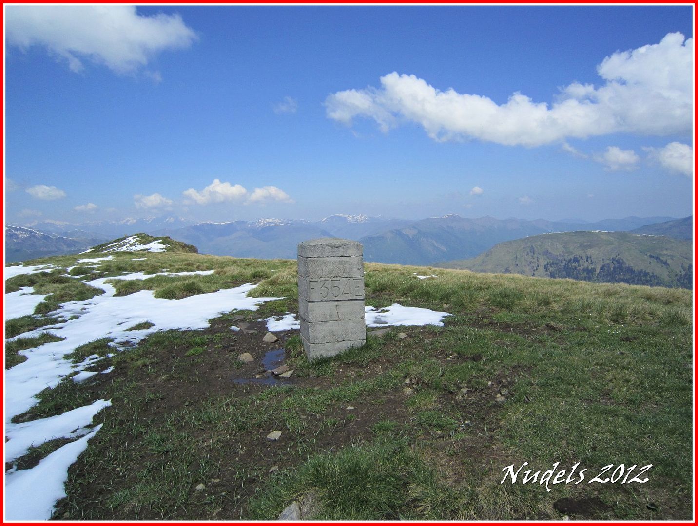
12h36: Tambien paso por la muga 354.
12h38: Y la última de la hornada la muga 355, ehhh pero un momento llegando aquí también estoy ...
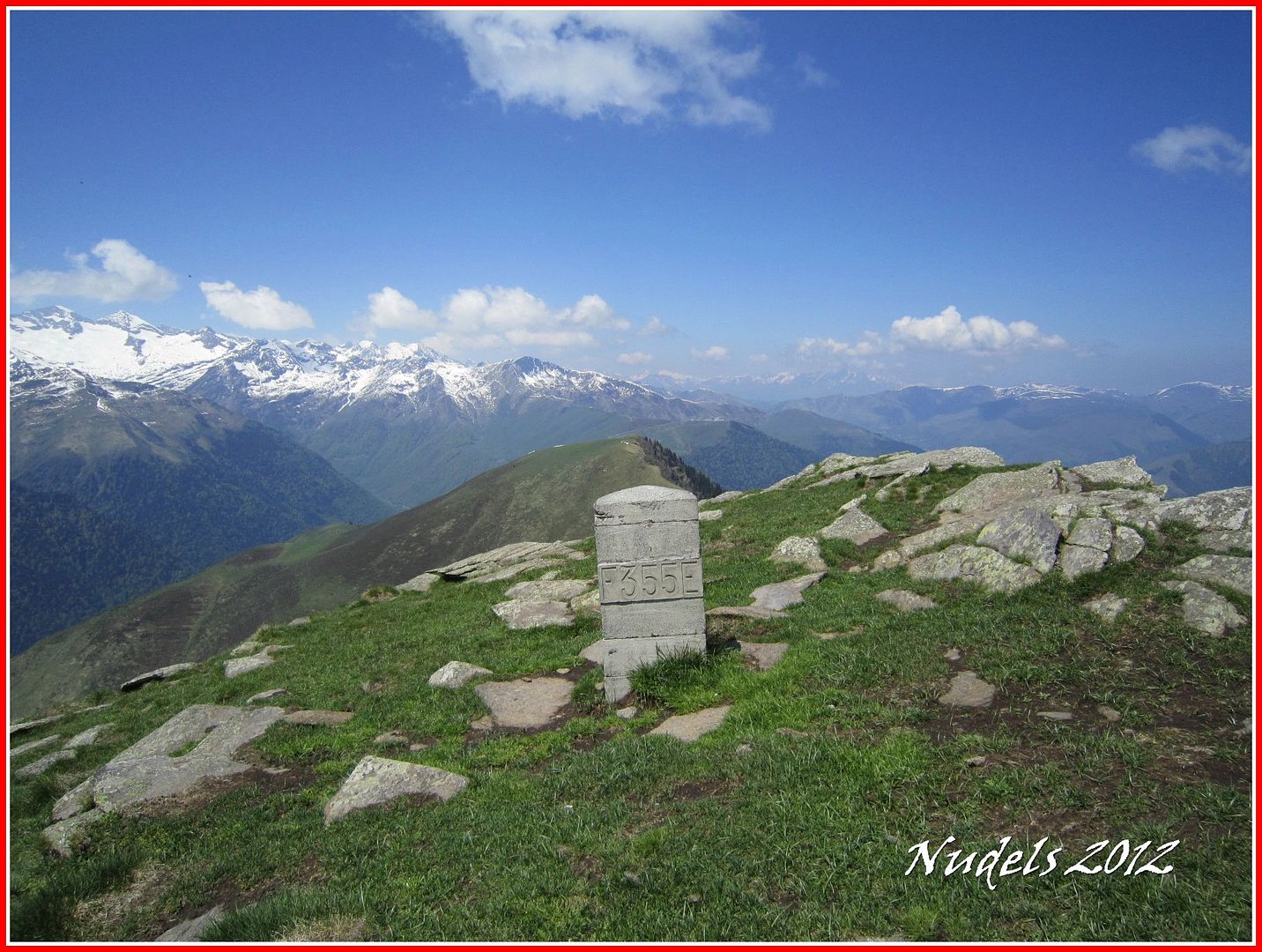
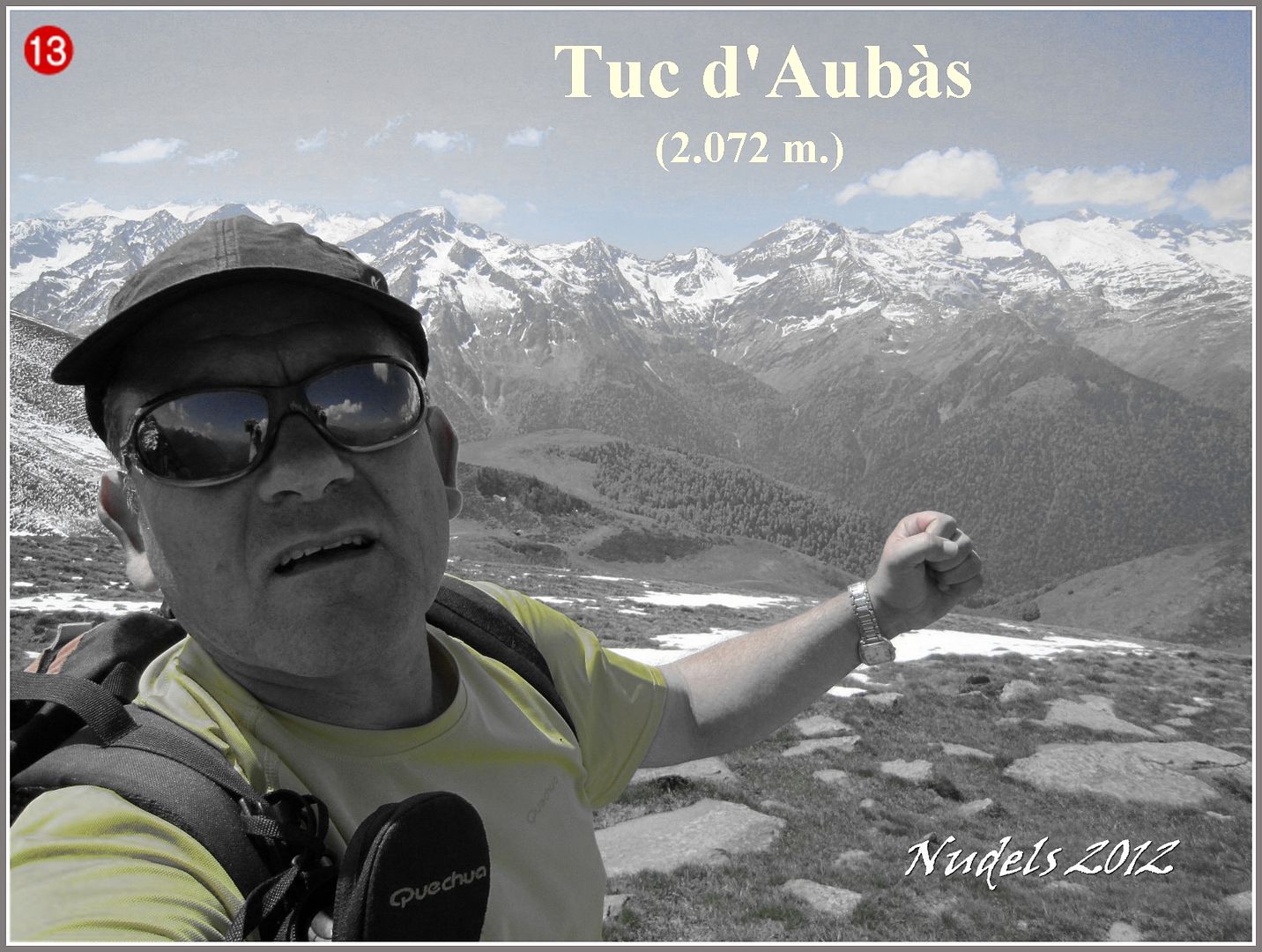
12h40: ...en lo más alto del Tuc d'Aubàs (2.072 m.).
12h39: Zona del Baish Aran, carretera del Portilhon y Bossòst.

12h40: Al fondo espectacular, luego haré una zoom.
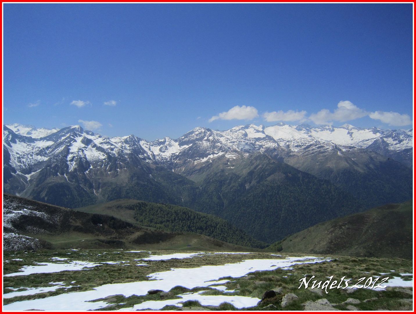
12h42: Ya solo me queda bajar para completar la circular, enfrente tengo el Tuc deth Plan dera Serra (1.978 m.) donde por cierto está también la muga 357.

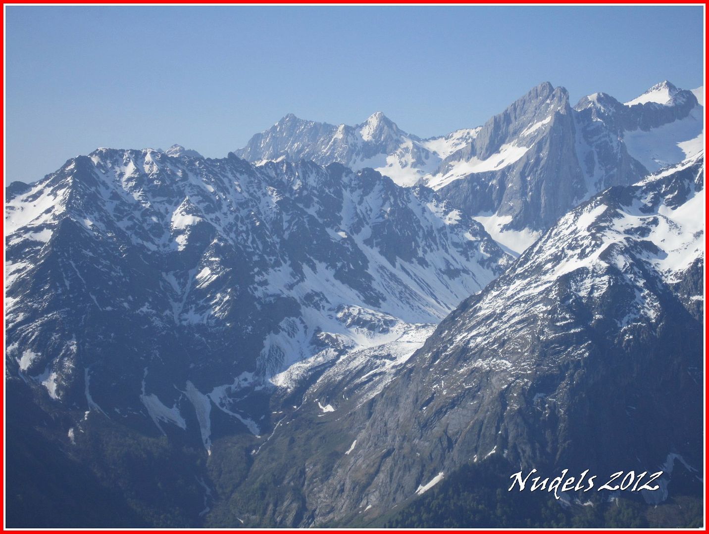
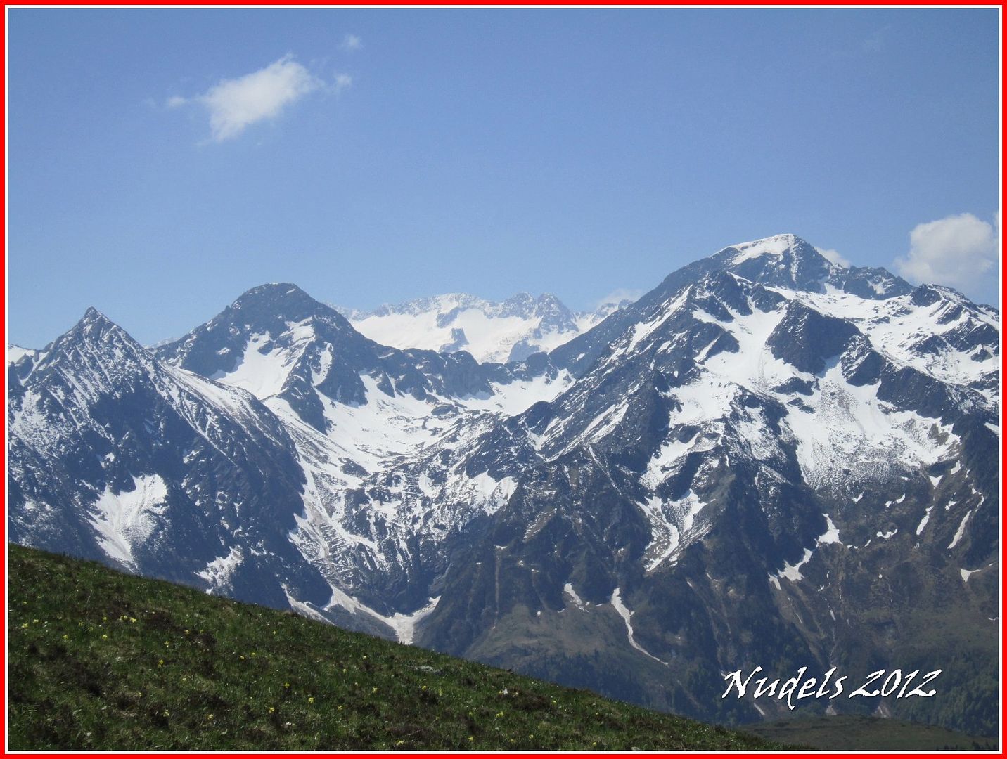
12h52: Pero vamos con los zoom, La Pique, La Mina y el Salbaguardia en el centro el Puerto de Benasque y al fondo las Maladetas.
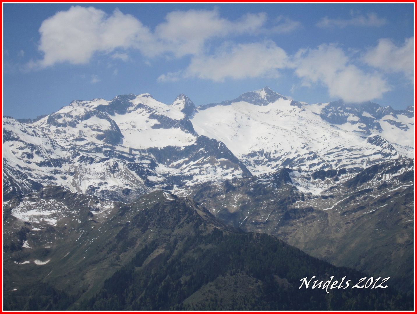
12h50: Entre otros Mall Pitrat, Boum, Maupás...
12h53:
13h00: Una mirada atrás, descenso del Tuc d'Aubàs.
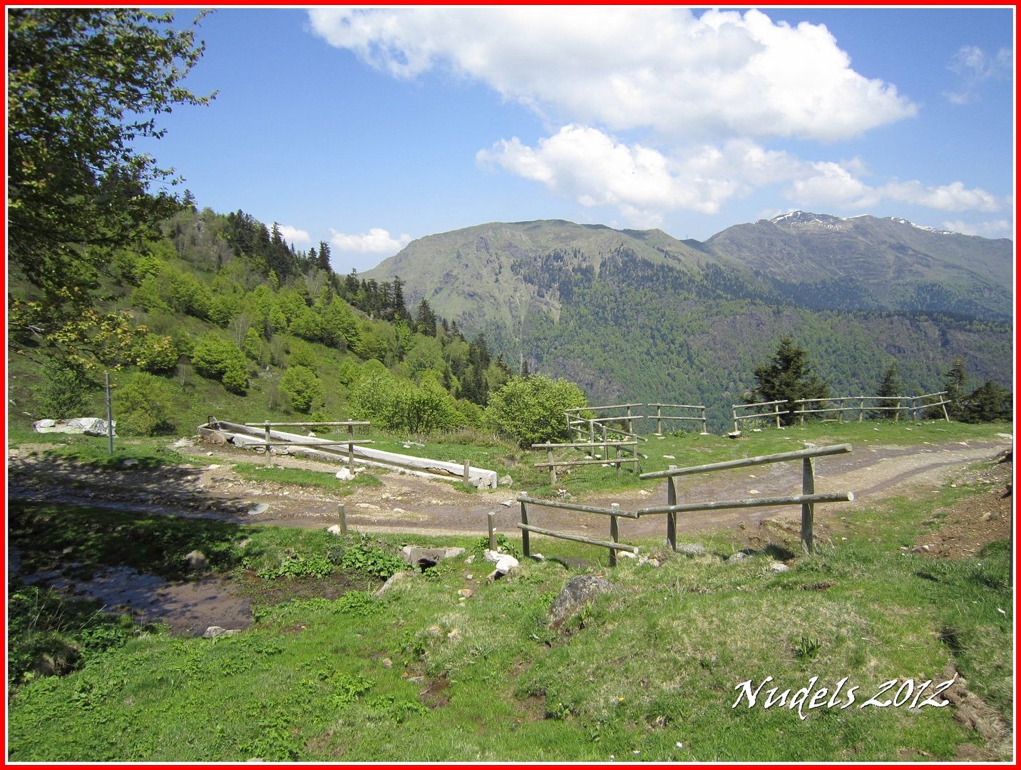
13h05: En el recorrido hay poca agua potable, encontré en dos abrevaderos en la fotografía sale uno donde me voy a refrescar.
13h18: Y un minuto más tarde llegaré al parking.


